Estimated Value: $66,000 - $109,000
3
Beds
1
Bath
864
Sq Ft
$103/Sq Ft
Est. Value
About This Home
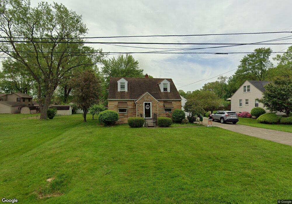
This home is located at 1341 Clark St, Niles, OH 44446 and is currently estimated at $89,415, approximately $103 per square foot. 1341 Clark St is a home located in Trumbull County with nearby schools including Niles Primary School, Niles Intermediate School, and Niles Middle School.
Ownership History
Date
Name
Owned For
Owner Type
Purchase Details
Closed on
Mar 17, 2011
Sold by
Secretary Of Housing & Urban Development
Bought by
Altobelli Laura A
Current Estimated Value
Purchase Details
Closed on
Jun 10, 2010
Sold by
Bac Home Loans Servicing Lp
Bought by
The Secretary Of Housing & Urban Develop
Purchase Details
Closed on
May 27, 2010
Sold by
Lawrence Paul D
Bought by
Bac Home Loans Servicing Lp
Purchase Details
Closed on
Aug 29, 2003
Sold by
Ross Richard and Ross Donald
Bought by
Lawrence Paul D
Purchase Details
Closed on
Jan 1, 1990
Sold by
Est Helen Ross Lf
Bought by
Richard Ross
Create a Home Valuation Report for This Property
The Home Valuation Report is an in-depth analysis detailing your home's value as well as a comparison with similar homes in the area
Home Values in the Area
Average Home Value in this Area
Purchase History
| Date | Buyer | Sale Price | Title Company |
|---|---|---|---|
| Altobelli Laura A | $31,500 | Attorney | |
| The Secretary Of Housing & Urban Develop | -- | Attorney | |
| Bac Home Loans Servicing Lp | $65,000 | Attorney | |
| Lawrence Paul D | $86,000 | -- | |
| Richard Ross | -- | -- |
Source: Public Records
Tax History
| Year | Tax Paid | Tax Assessment Tax Assessment Total Assessment is a certain percentage of the fair market value that is determined by local assessors to be the total taxable value of land and additions on the property. | Land | Improvement |
|---|---|---|---|---|
| 2024 | $1,032 | $23,840 | $5,290 | $18,550 |
| 2023 | $1,022 | $23,840 | $5,290 | $18,550 |
| 2022 | $828 | $16,490 | $5,290 | $11,200 |
| 2021 | $869 | $16,490 | $5,290 | $11,200 |
| 2020 | $877 | $16,490 | $5,290 | $11,200 |
| 2019 | $922 | $16,490 | $5,290 | $11,200 |
| 2018 | $919 | $16,490 | $5,290 | $11,200 |
| 2017 | $914 | $16,490 | $5,290 | $11,200 |
| 2016 | $1,028 | $18,380 | $5,290 | $13,090 |
| 2015 | $1,017 | $18,380 | $5,290 | $13,090 |
| 2014 | $1,021 | $18,380 | $5,290 | $13,090 |
| 2013 | $1,062 | $20,170 | $5,290 | $14,880 |
Source: Public Records
Map
Nearby Homes
- 1236 Robbins Ave
- 1442 Youll St
- 21 Summit Ave
- 340 Mcevoy Ct
- 32 Summit Ave
- 352 N Rhodes Ave
- 45 Summit Ave
- 126 S Rhodes Ave
- 1436 Clinton St
- 412 Orchard Ave
- 29 S Bentley Ave
- 214 N Bentley Ave
- 166 Oak Knoll St SE
- 311 High Ave
- 404 N Bentley Ave
- 307 Peffer Ave
- 39 Belmont Ave
- 35 Washington Ave
- 812 Hartzell Ave
- 1919 Carnegie Heights Dr
Your Personal Tour Guide
Ask me questions while you tour the home.