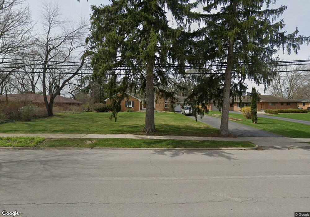
1341 Newport Rd Ann Arbor, MI 48103
Garden Homes NeighborhoodEstimated Value: $604,000 - $803,000
3
Beds
2
Baths
2,020
Sq Ft
$346/Sq Ft
Est. Value
About This Home
This home is located at 1341 Newport Rd, Ann Arbor, MI 48103 and is currently estimated at $699,875, approximately $346 per square foot. 1341 Newport Rd is a home located in Washtenaw County with nearby schools including Wines Elementary School, Forsythe Middle School, and Skyline High School.
Ownership History
Date
Name
Owned For
Owner Type
Purchase Details
Closed on
Aug 28, 2020
Sold by
Goodman Marc and Salerno Julia A
Bought by
Goodman Marc and Salerno Ulia A
Current Estimated Value
Create a Home Valuation Report for This Property
The Home Valuation Report is an in-depth analysis detailing your home's value as well as a comparison with similar homes in the area
Home Values in the Area
Average Home Value in this Area
Purchase History
| Date | Buyer | Sale Price | Title Company |
|---|---|---|---|
| Goodman Marc | -- | None Available |
Source: Public Records
Tax History Compared to Growth
Tax History
| Year | Tax Paid | Tax Assessment Tax Assessment Total Assessment is a certain percentage of the fair market value that is determined by local assessors to be the total taxable value of land and additions on the property. | Land | Improvement |
|---|---|---|---|---|
| 2025 | $9,123 | $288,800 | $0 | $0 |
| 2024 | $8,898 | $333,800 | $0 | $0 |
| 2023 | $8,204 | $312,500 | $0 | $0 |
| 2022 | $8,940 | $307,800 | $0 | $0 |
| 2021 | $8,729 | $296,100 | $0 | $0 |
| 2020 | $8,553 | $279,900 | $0 | $0 |
| 2019 | $8,140 | $242,000 | $242,000 | $0 |
| 2018 | $8,025 | $221,400 | $0 | $0 |
| 2017 | $7,807 | $224,700 | $0 | $0 |
| 2016 | $7,532 | $156,110 | $0 | $0 |
| 2015 | $7,173 | $155,644 | $0 | $0 |
| 2014 | $7,173 | $150,781 | $0 | $0 |
| 2013 | -- | $150,781 | $0 | $0 |
Source: Public Records
Map
Nearby Homes
- 1797 Miller Ave
- 915 Westwood Ave
- 827 Westwood Ave
- 701 Pomona Rd
- 1431 Hatcher Crescent
- 1006 Duncan St
- 2374 Newport Rd
- 2174 Overlook Ct Unit 326
- 2108 Newport Rd Unit Parcel 2108
- 2108 Newport Rd
- 601 Cressfield Ln
- 2136 Newport Rd
- 2134 Overlook Ct
- 1115 Western Dr
- 508 W Summit St
- 215 Bucholz Ct
- 518 Hiscock St
- 2219 Dexter Ave
- 1812 Jackson Ave
- 125 Fairview Dr
- 1333 Newport Rd
- 1307 Newport Rd
- 1351 Newport Rd
- 1361 Newport Rd
- 1238 Westport Rd
- 1314 Newport Rd
- 1244 Westport Rd
- 1422 Red Oak Rd
- 1297 Newport Rd
- 1232 Westport Rd
- 1300 Newport Rd
- 1480 Newport Rd
- 1250 Westport Rd
- 1483 Newport Rd
- 1505 Hillridge Blvd
- 1228 Westport Rd
- 1265 Newport Rd
- 1501 Hillridge Blvd
- 1496 Newport Rd
- 1296 Newport Rd