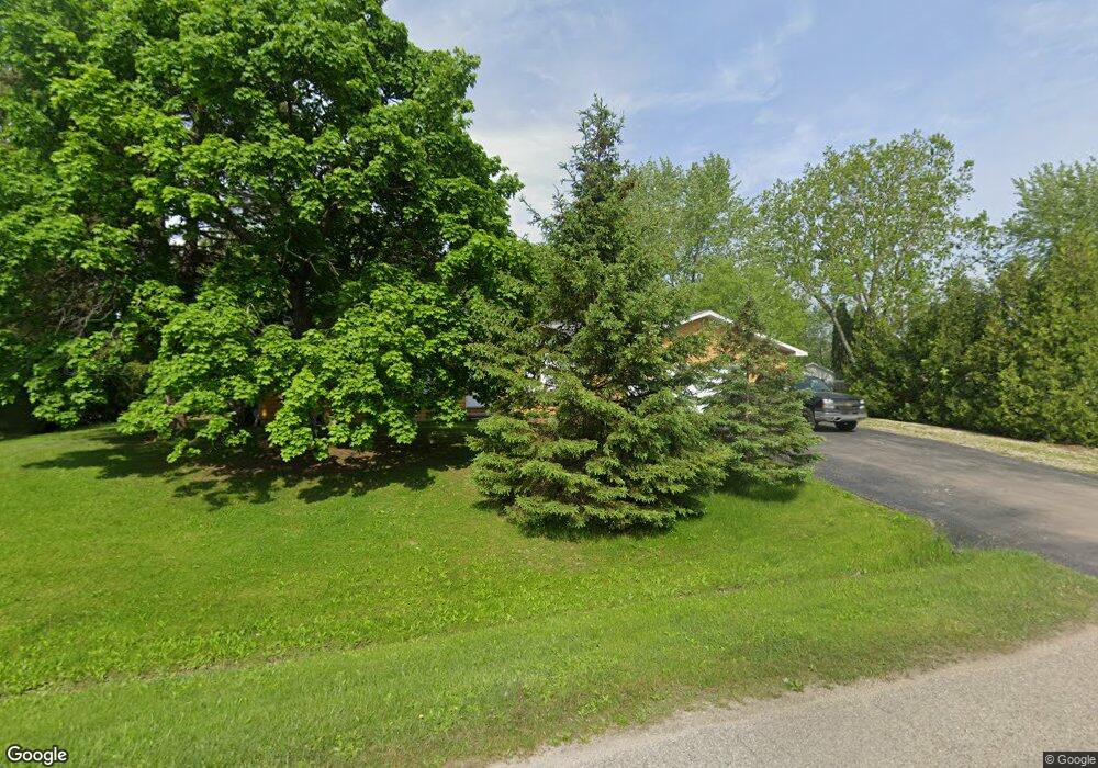
1341 Westbrooke Dr Unit Bldg-Unit Lapeer, MI 48446
Estimated Value: $204,000 - $217,000
3
Beds
2
Baths
1,008
Sq Ft
$208/Sq Ft
Est. Value
About This Home
This home is located at 1341 Westbrooke Dr Unit Bldg-Unit, Lapeer, MI 48446 and is currently estimated at $209,165, approximately $207 per square foot. 1341 Westbrooke Dr Unit Bldg-Unit is a home located in Lapeer County with nearby schools including C.K. Schickler Elementary School, Rolland-Warner Middle School, and Lapeer High School.
Ownership History
Date
Name
Owned For
Owner Type
Purchase Details
Closed on
Mar 1, 2018
Sold by
Harrison Andrea D
Bought by
Archambeau Myles and Archambeau Jessica
Current Estimated Value
Home Financials for this Owner
Home Financials are based on the most recent Mortgage that was taken out on this home.
Original Mortgage
$122,550
Outstanding Balance
$103,520
Interest Rate
4.22%
Mortgage Type
New Conventional
Estimated Equity
$105,645
Purchase Details
Closed on
May 12, 2016
Sold by
Wernick Laura J and Wernick Todd
Bought by
Harrison Andrea D
Home Financials for this Owner
Home Financials are based on the most recent Mortgage that was taken out on this home.
Original Mortgage
$123,300
Interest Rate
3.71%
Mortgage Type
New Conventional
Purchase Details
Closed on
Apr 1, 1990
Create a Home Valuation Report for This Property
The Home Valuation Report is an in-depth analysis detailing your home's value as well as a comparison with similar homes in the area
Home Values in the Area
Average Home Value in this Area
Purchase History
| Date | Buyer | Sale Price | Title Company |
|---|---|---|---|
| Archambeau Myles | $129,000 | -- | |
| Harrison Andrea D | $120,000 | -- | |
| -- | $60,900 | -- |
Source: Public Records
Mortgage History
| Date | Status | Borrower | Loan Amount |
|---|---|---|---|
| Open | Archambeau Myles | $122,550 | |
| Previous Owner | Harrison Andrea D | $123,300 |
Source: Public Records
Tax History Compared to Growth
Tax History
| Year | Tax Paid | Tax Assessment Tax Assessment Total Assessment is a certain percentage of the fair market value that is determined by local assessors to be the total taxable value of land and additions on the property. | Land | Improvement |
|---|---|---|---|---|
| 2025 | $1,438 | $81,900 | $0 | $0 |
| 2024 | $656 | $79,800 | $0 | $0 |
| 2023 | $626 | $74,100 | $0 | $0 |
| 2022 | $1,298 | $67,400 | $0 | $0 |
| 2021 | $1,183 | $59,400 | $0 | $0 |
| 2020 | $1,190 | $63,800 | $0 | $0 |
| 2019 | $1,216 | $58,400 | $0 | $0 |
| 2018 | $1,014 | $48,600 | $48,600 | $0 |
| 2017 | $1,012 | $49,000 | $0 | $0 |
| 2016 | $372 | $50,300 | $50,300 | $0 |
| 2015 | -- | $43,300 | $0 | $0 |
| 2014 | -- | $39,900 | $39,900 | $0 |
| 2013 | -- | $36,400 | $36,400 | $0 |
Source: Public Records
Map
Nearby Homes
- 1747 Westbrooke Dr
- 1441 Candace Dr
- 1408 Lincoln St
- 1389 Luxington Dr
- 1440 Lincoln St
- 1466 Lincoln St
- 1421 Luxington Dr
- 1423 Luxington Dr
- 1636 Woodbridge Park Ave
- 1227 N Jackson St
- 2792 Somerset St
- 396 Hickory Ln
- 817 Lamoreaux Dr
- 1512 Rulane Dr
- 1545 Rulane Dr
- 1110 Lancaster St
- 1205 Lancaster St
- 350 N Jackson St
- 0 Golf (H) Rd Unit 20251005981
- 0 Golf (G) Rd Unit 20251005975
- 1357 Westbrooke Dr
- 1341 Westbrooke Dr
- 1413 Westbrooke Dr
- 1394 Westbrooke Dr
- 1380 Westbrooke Dr
- 1794 Westbrooke Dr
- 1776 Westbrooke Dr
- 1762 Westbrooke Dr
- 1748 Westbrooke Dr
- 1734 Westbrooke Dr
- 1692 Westbrooke Dr
- 1691 Westbrooke Dr
- 1761 Westbrooke Dr
- 1364 Westbrooke Dr
- 1408 Westbrooke Dr
- 1727 Colonial Ln
- 1728 Colonial Ln
- 1432 Westbrooke Dr
- 1420 Westbrooke Dr
- 1743 Colonial Ln
