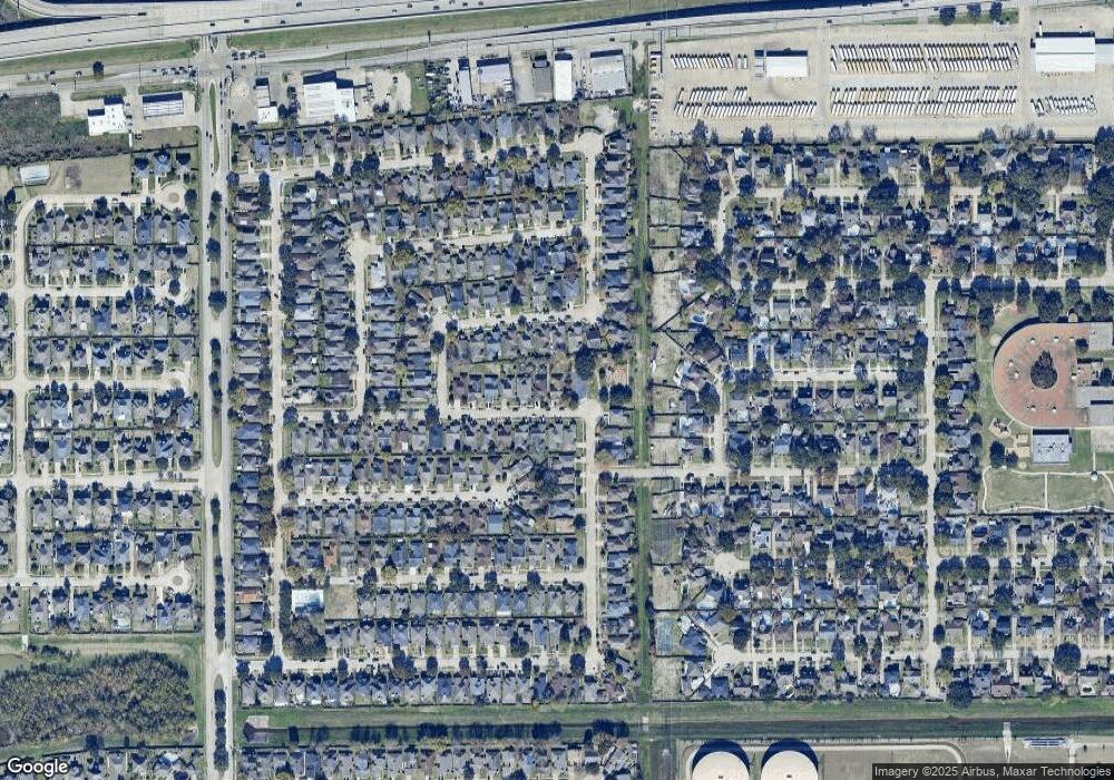
13410 Laurel River Dr Houston, TX 77083
Alief NeighborhoodEstimated Value: $239,820 - $246,000
3
Beds
2
Baths
1,853
Sq Ft
$132/Sq Ft
Est. Value
About This Home
This home is located at 13410 Laurel River Dr, Houston, TX 77083 and is currently estimated at $244,205, approximately $131 per square foot. 13410 Laurel River Dr is a home located in Harris County with nearby schools including Mahanay Elementary School, O'Donnell Middle School, and Youngblood Intermediate School.
Ownership History
Date
Name
Owned For
Owner Type
Purchase Details
Closed on
Oct 6, 2006
Sold by
Pal Dilip Kumar and Pal Gayatri
Bought by
Morgan Alton D
Current Estimated Value
Home Financials for this Owner
Home Financials are based on the most recent Mortgage that was taken out on this home.
Original Mortgage
$122,000
Outstanding Balance
$86,432
Interest Rate
10.17%
Mortgage Type
Purchase Money Mortgage
Estimated Equity
$157,773
Create a Home Valuation Report for This Property
The Home Valuation Report is an in-depth analysis detailing your home's value as well as a comparison with similar homes in the area
Home Values in the Area
Average Home Value in this Area
Purchase History
| Date | Buyer | Sale Price | Title Company |
|---|---|---|---|
| Morgan Alton D | -- | American National Title Co |
Source: Public Records
Mortgage History
| Date | Status | Borrower | Loan Amount |
|---|---|---|---|
| Open | Morgan Alton D | $122,000 |
Source: Public Records
Tax History Compared to Growth
Tax History
| Year | Tax Paid | Tax Assessment Tax Assessment Total Assessment is a certain percentage of the fair market value that is determined by local assessors to be the total taxable value of land and additions on the property. | Land | Improvement |
|---|---|---|---|---|
| 2025 | $4,827 | $229,257 | $54,954 | $174,303 |
| 2024 | $4,827 | $220,170 | $54,954 | $165,216 |
| 2023 | $4,827 | $220,170 | $54,954 | $165,216 |
| 2022 | $4,816 | $212,793 | $44,486 | $168,307 |
| 2021 | $3,690 | $153,939 | $36,636 | $117,303 |
| 2020 | $3,541 | $140,458 | $28,785 | $111,673 |
| 2019 | $3,514 | $133,945 | $20,411 | $113,534 |
| 2018 | $1,795 | $134,931 | $20,411 | $114,520 |
| 2017 | $3,581 | $134,931 | $20,411 | $114,520 |
| 2016 | $3,553 | $133,894 | $20,411 | $113,483 |
| 2015 | $2,337 | $133,894 | $20,411 | $113,483 |
| 2014 | $2,337 | $89,492 | $20,411 | $69,081 |
Source: Public Records
Map
Nearby Homes
- 6310 Manx St
- 13347 High Star Dr
- 13306 Rain Lily Ln
- 13534 Clarewood Dr
- 13431 Clarewood Dr
- 13522 Carruth Ln
- 13530 Carruth Ln
- 3806 Luton Park Dr
- 3715 Golders Green Dr
- 3714 Parkridge Glen Dr
- 3707 Kingston Vale Dr
- 6702 Metro Blvd Unit 12
- 6702 Metro Blvd Unit 3
- 13702 Matthias Trail
- 13919 Alief Clodine Rd
- 13043 Clarewood Dr
- 13707 Matthias Trail
- 6855 Caddo Lake Ln
- 6823 Wellwood Ct
- 13206 Ensley Wood Dr
- 13414 Laurel River Dr
- 13418 Laurel River Dr
- 13411 Juniper Point Dr
- 13415 Juniper Point Dr
- 13407 Juniper Point Dr
- 13422 Laurel River Dr
- 13419 Juniper Point Dr
- 13403 Juniper Point Dr
- 13411 Laurel River Dr
- 13415 Laurel River Dr
- 13423 Juniper Point Dr
- 13426 Laurel River Dr
- 13419 Laurel River Dr
- 6407 Pouter Dr
- 6351 Pouter Dr
- 13423 Laurel River Dr
- 6411 Pouter Dr
- 13430 Laurel River Dr
- 6418 Pouter Dr
- 13431 Juniper Point Dr
