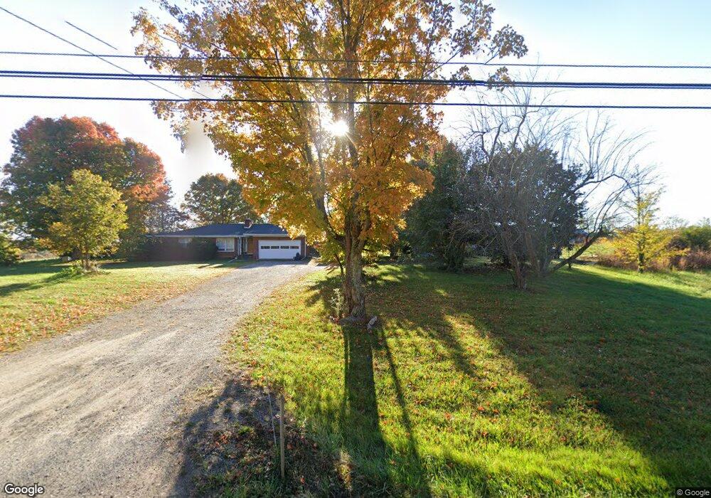
13412 Highway 127 N Crossville, TN 38571
Estimated Value: $317,000 - $669,000
--
Bed
2
Baths
1,507
Sq Ft
$326/Sq Ft
Est. Value
About This Home
This home is located at 13412 Highway 127 N, Crossville, TN 38571 and is currently estimated at $490,747, approximately $325 per square foot. 13412 Highway 127 N is a home located in Cumberland County with nearby schools including North Cumberland Elementary School and Stone Memorial High School.
Ownership History
Date
Name
Owned For
Owner Type
Purchase Details
Closed on
Sep 6, 2024
Sold by
Stevens Martha Manis
Bought by
Manis David
Current Estimated Value
Purchase Details
Closed on
Jul 10, 2024
Sold by
Harrell Karen Manis and Manis David
Bought by
State Of Tennessee
Purchase Details
Closed on
Dec 30, 2022
Sold by
England Sandra Manis
Bought by
Manis David
Purchase Details
Closed on
Jul 28, 2017
Sold by
Stevens Terry Lynn and Manis David
Bought by
Manis England Sandra Manis and Manis Harrell Karen
Create a Home Valuation Report for This Property
The Home Valuation Report is an in-depth analysis detailing your home's value as well as a comparison with similar homes in the area
Home Values in the Area
Average Home Value in this Area
Purchase History
| Date | Buyer | Sale Price | Title Company |
|---|---|---|---|
| Manis David | $135,000 | None Listed On Document | |
| State Of Tennessee | $309,575 | None Listed On Document | |
| Manis David | $150,000 | -- | |
| Manis England Sandra Manis | -- | None Available |
Source: Public Records
Tax History Compared to Growth
Tax History
| Year | Tax Paid | Tax Assessment Tax Assessment Total Assessment is a certain percentage of the fair market value that is determined by local assessors to be the total taxable value of land and additions on the property. | Land | Improvement |
|---|---|---|---|---|
| 2025 | $967 | $28,075 | $28,075 | -- |
| 2024 | $967 | $85,200 | $33,925 | $51,275 |
| 2023 | $0 | $85,200 | $0 | $0 |
| 2022 | $978 | $86,175 | $33,925 | $52,250 |
| 2021 | $925 | $59,075 | $29,625 | $29,450 |
| 2020 | $925 | $59,075 | $29,625 | $29,450 |
| 2019 | $925 | $59,075 | $29,625 | $29,450 |
| 2018 | $925 | $59,075 | $29,625 | $29,450 |
| 2017 | $925 | $59,075 | $29,625 | $29,450 |
| 2016 | $787 | $51,550 | $23,775 | $27,775 |
| 2015 | $654 | $43,675 | $23,775 | $19,900 |
| 2014 | $654 | $43,674 | $0 | $0 |
Source: Public Records
Map
Nearby Homes
- 0 Ashmor Dr
- 145 Windswept Dr
- 140 Colby Cir
- 257 Colby Cir
- 850 Colby Cir
- 815 Colby Cir
- 307 Colby Cir
- 60 Greenview Ln
- 279 Catoosa Ridge Dr
- 0 Hwy 127 N Unit RTC2636228
- 21 Bluff View Loop
- 405 Smith Rd
- 549 Smith Rd
- 401 Smith Rd
- 555 Smith Rd
- 0 Hollow Lane - 35 Acres
- 127 Bluff View Loop
- 410 Old Elmore Rd
- 1052 Catoosa Ridge Dr
- 4 Smith Rd
- 13345 Highway 127 N
- 13497 Highway 127 N
- 13558 Highway 127 N
- 77 Buck Ln
- 99 Buck Ln
- 13202 Highway 127 N
- 205 Buck Ln
- 44 Shelby Rd
- 13399 Highway 127 N
- 118 Shelby Rd
- 0 Hwy 127north Beasley Unit 748152
- 64 Jk Bowman Ln
- 13649 Highway 127 N
- 262 Shelby Rd
- 13159 Highway 127 N
- 112 Jk Bowman Ln
- 0 Beasley Ln
- 71 Beasley Ln
- 369 Buck Ln
- 40 Colby Cir