13413 S Carus Rd Oregon City, OR 97045
Estimated Value: $807,000 - $890,505
4
Beds
3
Baths
2,349
Sq Ft
$361/Sq Ft
Est. Value
About This Home
This home is located at 13413 S Carus Rd, Oregon City, OR 97045 and is currently estimated at $847,376, approximately $360 per square foot. 13413 S Carus Rd is a home located in Clackamas County with nearby schools including Carus School, Cecile Trost Elementary School, and Baker Prairie Middle School.
Ownership History
Date
Name
Owned For
Owner Type
Purchase Details
Closed on
Mar 23, 2017
Sold by
Pevonka Alan F
Bought by
Tatom Pamela and Larson Jesse
Current Estimated Value
Home Financials for this Owner
Home Financials are based on the most recent Mortgage that was taken out on this home.
Original Mortgage
$424,100
Outstanding Balance
$351,491
Interest Rate
4.15%
Mortgage Type
New Conventional
Estimated Equity
$495,885
Purchase Details
Closed on
Aug 31, 2012
Sold by
Saraceno Melvin D
Bought by
Saraceno Melvin D and Melvin D Saraceno Revocable Living Trust
Purchase Details
Closed on
Jan 27, 2004
Sold by
Morris Brandon D and Morris Kari R
Bought by
Saraceno Melvin D
Create a Home Valuation Report for This Property
The Home Valuation Report is an in-depth analysis detailing your home's value as well as a comparison with similar homes in the area
Home Values in the Area
Average Home Value in this Area
Purchase History
| Date | Buyer | Sale Price | Title Company |
|---|---|---|---|
| Tatom Pamela | $480,000 | First American | |
| Saraceno Melvin D | -- | None Available | |
| Saraceno Melvin D | -- | -- |
Source: Public Records
Mortgage History
| Date | Status | Borrower | Loan Amount |
|---|---|---|---|
| Open | Tatom Pamela | $424,100 |
Source: Public Records
Tax History Compared to Growth
Tax History
| Year | Tax Paid | Tax Assessment Tax Assessment Total Assessment is a certain percentage of the fair market value that is determined by local assessors to be the total taxable value of land and additions on the property. | Land | Improvement |
|---|---|---|---|---|
| 2024 | $7,253 | $495,902 | -- | -- |
| 2023 | $7,253 | $481,459 | $0 | $0 |
| 2022 | $6,621 | $467,436 | $0 | $0 |
| 2021 | $6,360 | $453,822 | $0 | $0 |
| 2020 | $6,265 | $440,604 | $0 | $0 |
| 2019 | $5,944 | $427,771 | $0 | $0 |
| 2018 | $5,915 | $415,312 | $0 | $0 |
| 2017 | $5,601 | $390,995 | $0 | $0 |
| 2016 | $5,404 | $379,607 | $0 | $0 |
| 2015 | $5,254 | $368,550 | $0 | $0 |
| 2014 | $5,053 | $357,816 | $0 | $0 |
Source: Public Records
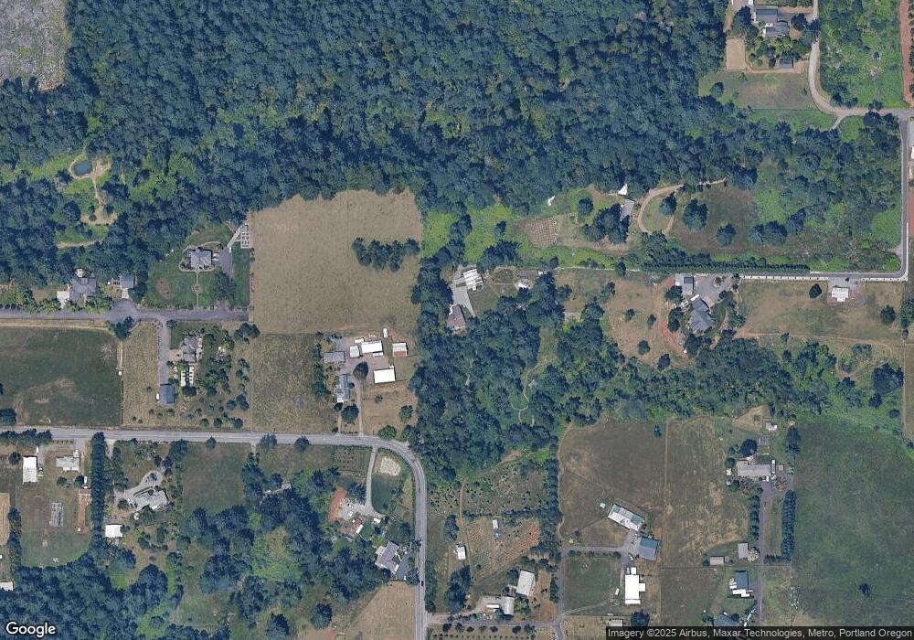
Map
Nearby Homes
- 13392 S Carus Rd
- 12720 S Carus Rd
- 22396 S Parrot Creek Rd
- 14212 S Mueller Rd
- 13631 S New Era Rd
- 13095 S New Era Rd
- 12950 S New Era Rd
- 23421 S Highway 213 Unit 6
- 22876 S Highway 213
- 13005 S Casto Rd
- 22001 S Monte Carlo Way
- 22651 S Penman Rd
- 24450 S Highway 213
- 11700 S Makin Ln
- 11800 S Carus Rd
- 12426 S Criteser Rd
- 13492 S Warnock Rd
- 14546 S Kelmsley Dr
- 23501 S Beatie Rd
- 21035 S Mossy Rock Ct
- 13397 S Carus Rd
- 13668 S Mueller Rd
- 13672 S Mueller Rd
- 13438 S Carus Rd
- 13690 S Mueller Rd
- 13335 S MacDonalds Place
- 13493 S Carus Rd
- 13288 S MacDonalds Place
- 13481 S Carus Rd
- 13565 S Carus Rd
- 13478 S Carus Rd-Priv Rd
- 13478 S Carus Rd-Private Rd
- 13478 S Carus Rd
- 13358 S Carus Rd
- 13497 S Carus Rd
- 13295 S MacDonalds Place
- 13680 S Mueller Rd
- 13236 S Carus Rd
- 13675 S Carus Rd
- 13665 S Mueller Rd