13420 Coon Hunters Rd Blue Grass, IA 52726
Estimated Value: $573,000 - $767,476
4
Beds
4
Baths
3,030
Sq Ft
$221/Sq Ft
Est. Value
About This Home
This home is located at 13420 Coon Hunters Rd, Blue Grass, IA 52726 and is currently estimated at $669,869, approximately $221 per square foot. 13420 Coon Hunters Rd is a home located in Scott County with nearby schools including Blue Grass Elementary School, Walcott Intermediate School, and West High School.
Ownership History
Date
Name
Owned For
Owner Type
Purchase Details
Closed on
May 6, 2017
Sold by
Ramker Nathan and Ramker Rebecca
Bought by
Ramker Nathan J and Nathan J Ramker Revocable Trust
Current Estimated Value
Purchase Details
Closed on
Jan 14, 2011
Sold by
Kent Michael L and Kent Sally J
Bought by
Ramker Nathan J and Ramker Rebecca L
Home Financials for this Owner
Home Financials are based on the most recent Mortgage that was taken out on this home.
Original Mortgage
$88,000
Outstanding Balance
$2,673
Interest Rate
4.53%
Mortgage Type
New Conventional
Estimated Equity
$667,196
Create a Home Valuation Report for This Property
The Home Valuation Report is an in-depth analysis detailing your home's value as well as a comparison with similar homes in the area
Home Values in the Area
Average Home Value in this Area
Purchase History
| Date | Buyer | Sale Price | Title Company |
|---|---|---|---|
| Ramker Nathan J | -- | None Available | |
| Ramker Nathan J | $470,000 | None Available |
Source: Public Records
Mortgage History
| Date | Status | Borrower | Loan Amount |
|---|---|---|---|
| Open | Ramker Nathan J | $88,000 |
Source: Public Records
Tax History Compared to Growth
Tax History
| Year | Tax Paid | Tax Assessment Tax Assessment Total Assessment is a certain percentage of the fair market value that is determined by local assessors to be the total taxable value of land and additions on the property. | Land | Improvement |
|---|---|---|---|---|
| 2025 | $7,002 | $734,800 | $248,000 | $486,800 |
| 2024 | $7,082 | $611,600 | $153,200 | $458,400 |
| 2023 | $7,550 | $634,300 | $153,200 | $481,100 |
| 2022 | $7,668 | $542,690 | $93,600 | $449,090 |
| 2021 | $7,668 | $542,690 | $93,600 | $449,090 |
| 2020 | $7,546 | $528,110 | $93,600 | $434,510 |
| 2019 | $7,102 | $481,860 | $96,000 | $385,860 |
| 2018 | $6,948 | $481,860 | $96,000 | $385,860 |
| 2017 | $2,680 | $481,860 | $96,000 | $385,860 |
| 2016 | $6,792 | $471,450 | $0 | $0 |
| 2015 | $6,792 | $452,680 | $0 | $0 |
| 2014 | $6,666 | $452,680 | $0 | $0 |
| 2013 | $6,576 | $0 | $0 | $0 |
| 2012 | -- | $475,130 | $114,000 | $361,130 |
Source: Public Records
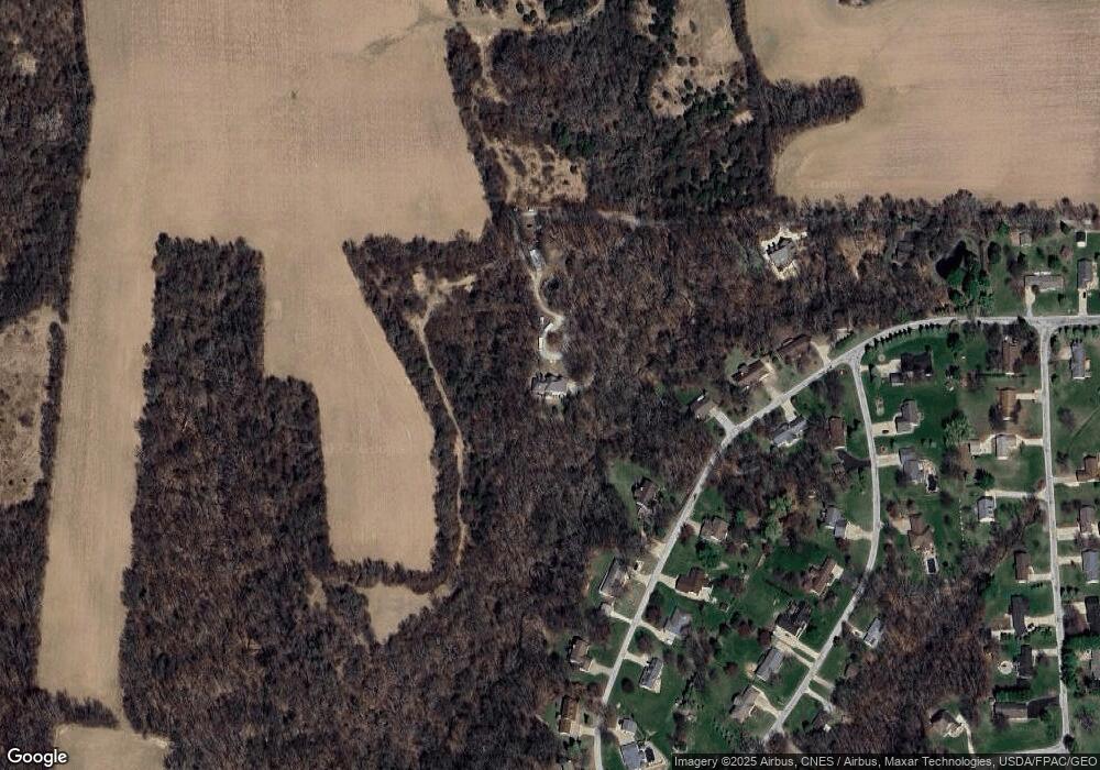
Map
Nearby Homes
- 13109 83rd Ave
- 606 Kevin Rd
- 423 Kevin Rd
- 783 Sweet Wood Ln
- 451 Celeste Cir
- 801 S Mississippi St
- 7 Sandpiper Dr
- 126 S Genessee St
- 61 W Timberline Dr
- 5 E Timberline Dr
- Lot 01 95th Ave
- Lot 02 95th Ave
- 3 Chestnut Dr
- 9933 123rd St
- 680 Sweet Wood Ln
- 12080 100th Ave
- 9520 115th St
- 501 Prairie Meadow Dr
- 508 Prairie Meadow Dr
- 13126 81st Ave
- 13210 81st Ave
- 13220 81st Ave
- 13114 81st Ave
- 13123 81st Ave
- 13177 81st Ave
- 13121 81st Ave
- 13230 81st Ave
- 13418 Coon Hunters Rd
- 13086 81st Ave
- 13115 81st Ave
- 13200 82nd Ave
- 13083 81st Ave
- 13180 82nd Ave
- 13044 81st Ave
- 13124 82nd Ave
- 13098 82nd Ave
- 13050 82nd Ave
- 13233 82nd Ave
- 13229 82nd Ave