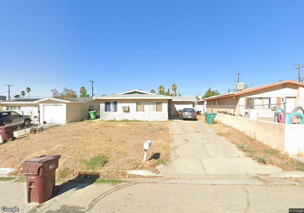
1343 N Phillips St Banning, CA 92220
Estimated Value: $307,381 - $369,000
2
Beds
1
Bath
900
Sq Ft
$380/Sq Ft
Est. Value
About This Home
This home is located at 1343 N Phillips St, Banning, CA 92220 and is currently estimated at $341,845, approximately $379 per square foot. 1343 N Phillips St is a home located in Riverside County with nearby schools including Banning High School.
Ownership History
Date
Name
Owned For
Owner Type
Purchase Details
Closed on
Oct 26, 2007
Sold by
Doty Marilyn E
Bought by
Doty Ii Robert F and Doty Marilyn E
Current Estimated Value
Home Financials for this Owner
Home Financials are based on the most recent Mortgage that was taken out on this home.
Original Mortgage
$170,000
Interest Rate
6.29%
Mortgage Type
New Conventional
Purchase Details
Closed on
Feb 9, 2005
Sold by
Doty Robert Francis
Bought by
Doty Marilyn E
Purchase Details
Closed on
Sep 12, 2003
Sold by
Moore Marilyn E and Moore Phyllis G
Bought by
Moore Marilyn E
Home Financials for this Owner
Home Financials are based on the most recent Mortgage that was taken out on this home.
Original Mortgage
$79,200
Interest Rate
7.55%
Mortgage Type
Purchase Money Mortgage
Create a Home Valuation Report for This Property
The Home Valuation Report is an in-depth analysis detailing your home's value as well as a comparison with similar homes in the area
Home Values in the Area
Average Home Value in this Area
Purchase History
| Date | Buyer | Sale Price | Title Company |
|---|---|---|---|
| Doty Ii Robert F | -- | Old Republic Title Company | |
| Doty Marilyn E | -- | Alliance Title Company | |
| Doty Marilyn E | -- | Alliance Title Company | |
| Moore Marilyn E | -- | Fidelity National Title |
Source: Public Records
Mortgage History
| Date | Status | Borrower | Loan Amount |
|---|---|---|---|
| Previous Owner | Doty Ii Robert F | $170,000 | |
| Previous Owner | Moore Marilyn E | $79,200 |
Source: Public Records
Tax History Compared to Growth
Tax History
| Year | Tax Paid | Tax Assessment Tax Assessment Total Assessment is a certain percentage of the fair market value that is determined by local assessors to be the total taxable value of land and additions on the property. | Land | Improvement |
|---|---|---|---|---|
| 2025 | $2,075 | $98,415 | $23,082 | $75,333 |
| 2024 | $2,075 | $96,486 | $22,630 | $73,856 |
| 2023 | $2,075 | $94,595 | $22,187 | $72,408 |
| 2022 | $1,359 | $92,741 | $21,752 | $70,989 |
| 2021 | $1,334 | $90,924 | $21,326 | $69,598 |
| 2020 | $1,321 | $89,993 | $21,108 | $68,885 |
| 2019 | $1,300 | $88,230 | $20,695 | $67,535 |
| 2018 | $1,291 | $86,501 | $20,291 | $66,210 |
| 2017 | $1,270 | $84,806 | $19,894 | $64,912 |
| 2016 | $1,208 | $83,144 | $19,504 | $63,640 |
| 2015 | $1,191 | $81,897 | $19,212 | $62,685 |
| 2014 | $1,184 | $80,295 | $18,837 | $61,458 |
Source: Public Records
Map
Nearby Homes
- 1508 N Almond Way
- 1354 N Hermosa Ave
- 0 N Blanchard St
- 0 N Almond Way Unit IG25103642
- 625 E Theodore St
- 1058 N Hermosa Ave
- 755 N Allen St
- 0 N Cherry St Unit CV23205173
- 1501 E Wilson St
- 732 N Allen St
- 660 N Florida St
- 720 E George St
- 1225 N Alessandro St
- 310 Santa Rita Place
- 230 E Hoffer St
- 1010 E Nicolet St
- 917 E Nicolet St Unit 157
- 378 N Hargrave St
- 186 Santa Rita Place
- 1510 E Nicolet St
- 1331 N Phillips St
- 1321 N Phillips St
- 1072 E Theodore St
- 1344 N Blanchard St
- 1307 N Phillips St
- 1332 N Blanchard St
- 1370 N Blanchard St
- 1322 N Blanchard St
- 1322 N Blanchard St
- 1384 N Blanchard St
- 1370 N Phillips St
- 1332 N Phillips St
- 1293 N Phillips St
- 1322 N Phillips St
- 1124 E Theodore St
- 1308 N Blanchard St
- 1308 N Phillips St
- 1294 N Blanchard St
- 1281 N Phillips St
- 1294 N Phillips St