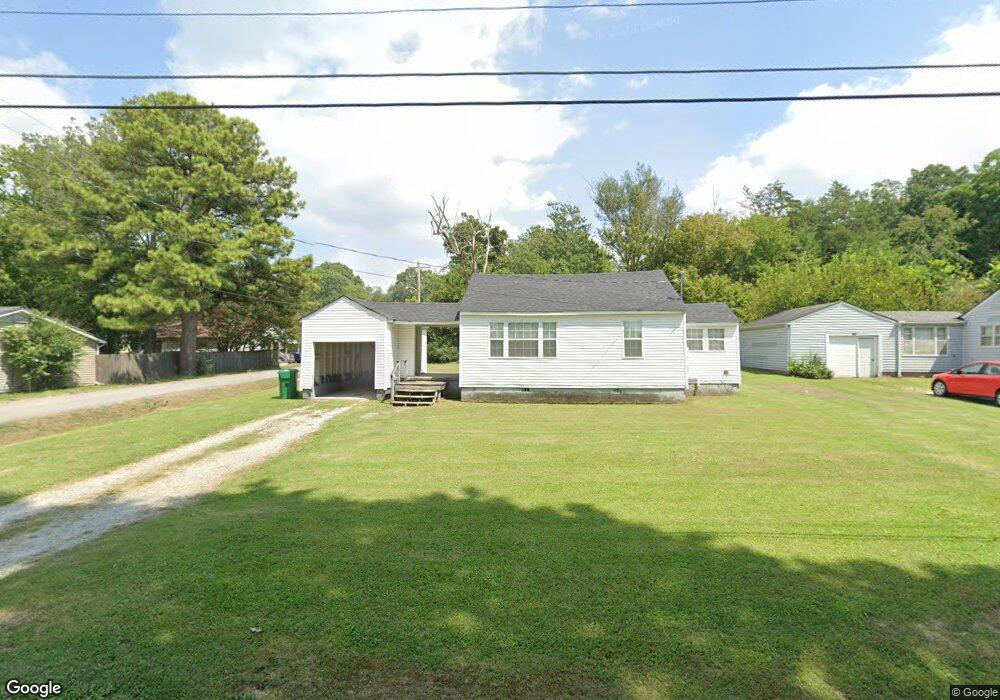
1344 Dungan St Humboldt, TN 38343
Estimated Value: $56,000 - $83,378
--
Bed
1
Bath
704
Sq Ft
$97/Sq Ft
Est. Value
About This Home
This home is located at 1344 Dungan St, Humboldt, TN 38343 and is currently estimated at $68,345, approximately $97 per square foot. 1344 Dungan St is a home located in Gibson County with nearby schools including Stigall Primary School, East Elementary School, and Humboldt Middle School.
Ownership History
Date
Name
Owned For
Owner Type
Purchase Details
Closed on
Oct 2, 2002
Sold by
G H H Properties Inc
Bought by
Teague Amber N
Current Estimated Value
Purchase Details
Closed on
Sep 21, 2002
Bought by
Teague Matthew R and Teague Amber N
Purchase Details
Closed on
Nov 22, 1988
Bought by
Amanda Construction Inc
Purchase Details
Closed on
Dec 3, 1986
Bought by
Clover Corporation
Purchase Details
Closed on
Sep 14, 1973
Purchase Details
Closed on
Jul 8, 1962
Purchase Details
Closed on
Jan 4, 1900
Create a Home Valuation Report for This Property
The Home Valuation Report is an in-depth analysis detailing your home's value as well as a comparison with similar homes in the area
Home Values in the Area
Average Home Value in this Area
Purchase History
| Date | Buyer | Sale Price | Title Company |
|---|---|---|---|
| Teague Amber N | $8,750 | -- | |
| Teague Matthew R | $8,800 | -- | |
| Amanda Construction Inc | -- | -- | |
| Clover Corporation | -- | -- | |
| -- | -- | -- | |
| -- | -- | -- | |
| -- | -- | -- |
Source: Public Records
Tax History Compared to Growth
Tax History
| Year | Tax Paid | Tax Assessment Tax Assessment Total Assessment is a certain percentage of the fair market value that is determined by local assessors to be the total taxable value of land and additions on the property. | Land | Improvement |
|---|---|---|---|---|
| 2025 | $299 | $11,050 | $0 | $0 |
| 2024 | $299 | $11,050 | $2,750 | $8,300 |
| 2023 | $68 | $6,125 | $1,500 | $4,625 |
| 2022 | $63 | $6,125 | $1,500 | $4,625 |
| 2021 | $63 | $6,125 | $1,500 | $4,625 |
| 2020 | $230 | $6,125 | $1,500 | $4,625 |
| 2019 | $230 | $6,125 | $1,500 | $4,625 |
| 2018 | $247 | $6,100 | $1,500 | $4,600 |
| 2017 | $244 | $6,100 | $1,500 | $4,600 |
| 2016 | $244 | $6,100 | $1,500 | $4,600 |
| 2015 | $242 | $6,100 | $1,500 | $4,600 |
| 2014 | $242 | $6,100 | $1,500 | $4,600 |
Source: Public Records
Map
Nearby Homes
- 1338 Dungan St
- 1211 N 29th Ave
- 811 N 24th Ave
- 2508 Vine St
- 2425 St Mary Dr
- 2107 Campbell St
- 00000 Lot 7 Mullins St
- 0000 lot 6-C Mullins St
- 000Lot 6-B Mullins St
- 00-lot 6-A Mullins St
- 3117 Laurel St
- 0 +-6 Acres Gadsden Todd Levee Unit 241321
- 700 N 29th Ave
- 0 Eastend Dr
- 2162 Dodson St
- 1438 N 19th Ave
- 2900 E Mitchell St
- 1012 Parkway Cove
- 2310 Dodson St
- 171 N 28th Ave
- 1926 Short St
- 1927 Short St
- 1318 Dungan St
- 1329 Sunset St
- 1930 Short St
- 1349 Dungan St
- 1343 Dungan St
- 1414 Dungan St
- 1413 Sunset St
- 1321 Sunset St
- 1337 Dungan St
- 1310 Dungan St
- 1415 Sunset St
- 1335 Dungan St
- 1315 Sunset St
- 1329 Dungan St
- 1419 Sunset St
- 2454 Eastend Dr
- 1311 Sunset St
- 2440 & 2454 Eastend Dr