13442 Cross Rd Ashland, VA 23005
Estimated Value: $527,000 - $634,000
3
Beds
3
Baths
2,386
Sq Ft
$240/Sq Ft
Est. Value
About This Home
This home is located at 13442 Cross Rd, Ashland, VA 23005 and is currently estimated at $573,036, approximately $240 per square foot. 13442 Cross Rd is a home located in Hanover County with nearby schools including Henry Clay Elementary School, Liberty Middle School, and Patrick Henry High School.
Ownership History
Date
Name
Owned For
Owner Type
Purchase Details
Closed on
Oct 22, 2019
Sold by
Brooks Kay Davis and Scott Robin Davis
Bought by
Scott Robin Davis and Scott Raymond Earl
Current Estimated Value
Home Financials for this Owner
Home Financials are based on the most recent Mortgage that was taken out on this home.
Original Mortgage
$100,000
Outstanding Balance
$87,605
Interest Rate
3.5%
Mortgage Type
New Conventional
Estimated Equity
$485,431
Create a Home Valuation Report for This Property
The Home Valuation Report is an in-depth analysis detailing your home's value as well as a comparison with similar homes in the area
Home Values in the Area
Average Home Value in this Area
Purchase History
| Date | Buyer | Sale Price | Title Company |
|---|---|---|---|
| Scott Robin Davis | $150,000 | Attorney |
Source: Public Records
Mortgage History
| Date | Status | Borrower | Loan Amount |
|---|---|---|---|
| Open | Scott Robin Davis | $100,000 |
Source: Public Records
Tax History Compared to Growth
Tax History
| Year | Tax Paid | Tax Assessment Tax Assessment Total Assessment is a certain percentage of the fair market value that is determined by local assessors to be the total taxable value of land and additions on the property. | Land | Improvement |
|---|---|---|---|---|
| 2025 | $4,452 | $549,600 | $113,000 | $436,600 |
| 2024 | $4,259 | $525,800 | $105,600 | $420,200 |
| 2023 | $3,581 | $465,100 | $89,100 | $376,000 |
| 2022 | $3,118 | $384,900 | $73,300 | $311,600 |
| 2021 | $3,005 | $371,000 | $73,300 | $297,700 |
| 2020 | $2,525 | $311,700 | $68,300 | $243,400 |
| 2019 | $2,525 | $311,700 | $68,300 | $243,400 |
| 2018 | $2,525 | $311,700 | $68,300 | $243,400 |
| 2017 | $2,360 | $291,400 | $68,300 | $223,100 |
| 2016 | $2,360 | $291,400 | $68,300 | $223,100 |
| 2015 | $2,360 | $291,400 | $68,300 | $223,100 |
| 2014 | $2,360 | $291,400 | $68,300 | $223,100 |
Source: Public Records
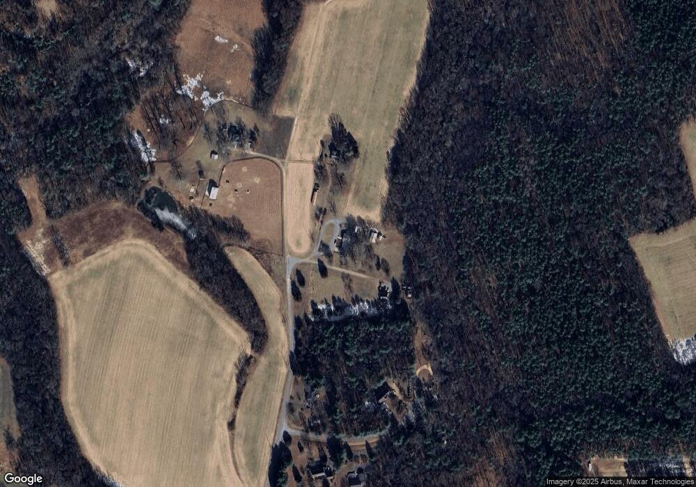
Map
Nearby Homes
- 14106 Falcon Crest Ct
- 124 Axton Ln
- 720 Chapman St
- 109 Axton Ln
- Rockefeller Plan at StillCroft
- Shearwater Plan at StillCroft
- Bridgeport Plan at StillCroft
- Whimbrel Plan at StillCroft
- Brady Plan at StillCroft
- Jameson Plan at StillCroft
- Kingfisher Plan at StillCroft
- Henlopen Plan at StillCroft
- Cassidy Plan at StillCroft
- Waterford Plan at StillCroft
- Chesapeake Plan at StillCroft
- Mayberry Plan at StillCroft
- 11182 Tinsley Dr
- 119 Thorncliff Rd
- 118 Lauradell Rd
- 11121 Stillcroft Ln
- 13440 Cross Rd
- 13444 Cross Rd
- 13443 Cross Rd
- 11314 Dairy Ln
- 11340 Dairy Ln
- 11309 Dairy Ln
- 11311 Dairy Ln
- 11337 Dairy Ln
- 11329 Dairy Ln
- 11308 Cloverhill Dr
- 11302 Cloverhill Dr
- 11320 Cloverhill Dr
- 11342 Cloverhill Dr
- 11267 Mayers Run Dr
- 13105 Cabell Farm Pkwy
- 11305 Cloverhill Dr
- 11325 Cloverhill Dr
- 11401 Governors Ln
- 11343 Cloverhill Dr
- 13100 Cabell Farm Pkwy