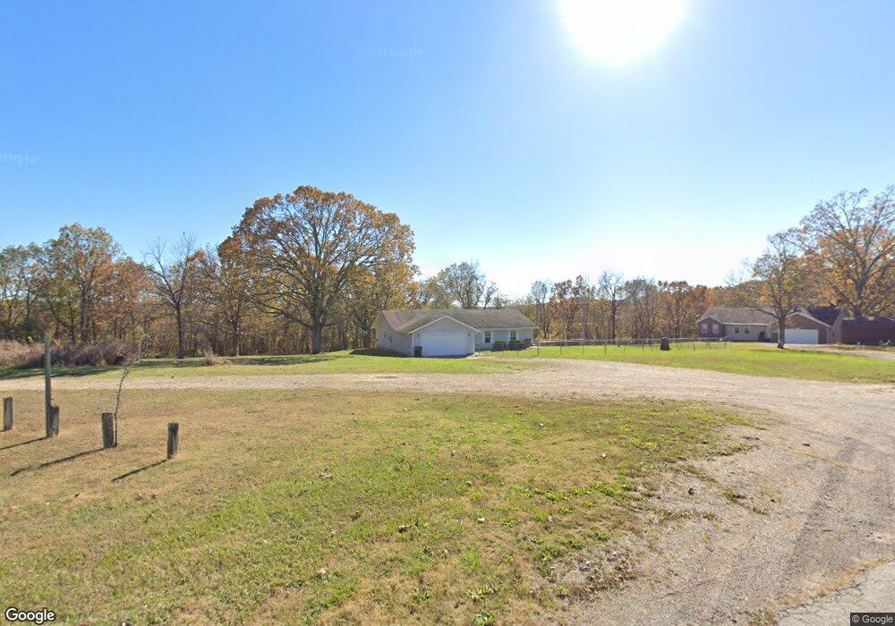
13442 Highway Z Saint Robert, MO 65584
Estimated Value: $216,000 - $236,124
3
Beds
2
Baths
1,730
Sq Ft
$130/Sq Ft
Est. Value
About This Home
This home is located at 13442 Highway Z, Saint Robert, MO 65584 and is currently estimated at $225,031, approximately $130 per square foot. 13442 Highway Z is a home located in Pulaski County with nearby schools including Freedom Elementary School, Waynesville East Elementary School, and Waynesville Sixth Grade Center.
Ownership History
Date
Name
Owned For
Owner Type
Purchase Details
Closed on
Mar 5, 2012
Sold by
Velishek Raymond E and Velishek Margie M
Bought by
Secretary Of Veterans Affairs
Current Estimated Value
Purchase Details
Closed on
Jul 31, 2006
Sold by
Wilson David F and Wilson Johnna J
Bought by
Velishek Raymond E and Velishek Margie M
Create a Home Valuation Report for This Property
The Home Valuation Report is an in-depth analysis detailing your home's value as well as a comparison with similar homes in the area
Home Values in the Area
Average Home Value in this Area
Purchase History
| Date | Buyer | Sale Price | Title Company |
|---|---|---|---|
| Secretary Of Veterans Affairs | $123,382 | None Available | |
| Velishek Raymond E | -- | None Available |
Source: Public Records
Tax History Compared to Growth
Tax History
| Year | Tax Paid | Tax Assessment Tax Assessment Total Assessment is a certain percentage of the fair market value that is determined by local assessors to be the total taxable value of land and additions on the property. | Land | Improvement |
|---|---|---|---|---|
| 2024 | $1,114 | $25,601 | $2,299 | $23,302 |
| 2023 | $1,088 | $25,601 | $2,299 | $23,302 |
| 2022 | $1,004 | $25,601 | $2,299 | $23,302 |
| 2021 | $992 | $25,601 | $2,299 | $23,302 |
| 2020 | $971 | $20,980 | $0 | $0 |
| 2019 | $971 | $24,491 | $0 | $0 |
| 2018 | $970 | $24,491 | $0 | $0 |
| 2017 | $969 | $20,980 | $0 | $0 |
| 2016 | $920 | $24,490 | $0 | $0 |
| 2015 | $919 | $24,490 | $0 | $0 |
| 2014 | $919 | $24,490 | $0 | $0 |
Source: Public Records
Map
Nearby Homes
- 21925 Teak Ln
- 21987 Teak Ln
- 13705 Hawksbill Dr
- 21409 Highway 28
- 13458 Toffee
- 22255 Target Rd
- 21195 Highway 28
- 14275 Happy Dr
- 107 Birchtree Cir
- 116 Valley Way
- 121 Valley Way
- 13446 Highway Z
- 20585 Highway 28
- 20605 Highway 28
- 13222 Hillview Ln
- 14390 Harvey Dr
- 14505 Harvey Dr
- 0 Hank Ln
- 23105 Triple Ln
- 14260 Howard Ln
- 13442 Highway Z
- 13442 Highway Z
- 13442 Highway Z
- 13442 Highway Z
- 13442 Highway Z
- 13446 State Highway Z
- 13440 Highway Z
- 0 Teak Ln Unit 12043525
- 21825 Teardrop Rd
- 21837 Teardrop Rd
- 21845 Teak Ln
- 21990 Teak Ln
- 21811 Teak Ln
- 21855 Teardrop Rd
- 21730 Twain Dr
- 22005 Teak Ln
- 21841 Teardrop Rd
- 21705 Twain Dr
- 21750 Twain Dr
- 21725 Twain Dr