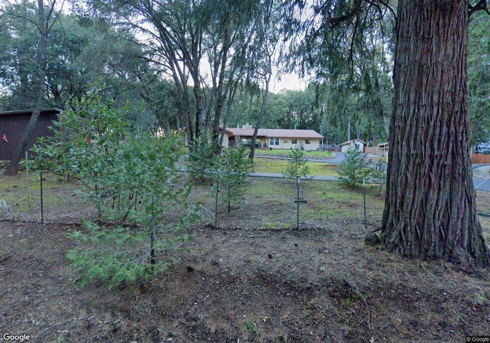
13443 Mount Zion Rd Pine Grove, CA 95665
Estimated Value: $331,000 - $578,000
3
Beds
3
Baths
2,512
Sq Ft
$198/Sq Ft
Est. Value
About This Home
This home is located at 13443 Mount Zion Rd, Pine Grove, CA 95665 and is currently estimated at $497,256, approximately $197 per square foot. 13443 Mount Zion Rd is a home located in Amador County with nearby schools including Pine Grove Elementary STEM School, Jackson Junior High School, and Argonaut High School.
Ownership History
Date
Name
Owned For
Owner Type
Purchase Details
Closed on
Apr 23, 2025
Sold by
Sare Mavis M
Bought by
Waits/Sare Living Trust and Waits
Current Estimated Value
Purchase Details
Closed on
Oct 23, 2019
Sold by
Sare Mavis Marie
Bought by
Sare Mavis M
Purchase Details
Closed on
Oct 19, 2009
Sold by
Felice Pat F
Bought by
Sare Mavis Marie
Create a Home Valuation Report for This Property
The Home Valuation Report is an in-depth analysis detailing your home's value as well as a comparison with similar homes in the area
Home Values in the Area
Average Home Value in this Area
Purchase History
| Date | Buyer | Sale Price | Title Company |
|---|---|---|---|
| Waits/Sare Living Trust | -- | None Listed On Document | |
| Sare Mavis M | -- | None Listed On Document | |
| Sare Mavis M | -- | None Available | |
| Sare Mavis Marie | $315,000 | First American Title Company | |
| Sare Mavis Marie | -- | First American Title Company |
Source: Public Records
Tax History Compared to Growth
Tax History
| Year | Tax Paid | Tax Assessment Tax Assessment Total Assessment is a certain percentage of the fair market value that is determined by local assessors to be the total taxable value of land and additions on the property. | Land | Improvement |
|---|---|---|---|---|
| 2025 | $1,544 | $406,593 | $135,528 | $271,065 |
| 2024 | $1,544 | $398,621 | $132,871 | $265,750 |
| 2023 | $1,595 | $390,806 | $130,266 | $260,540 |
| 2022 | $1,646 | $383,144 | $127,712 | $255,432 |
| 2021 | $1,607 | $375,632 | $125,208 | $250,424 |
| 2020 | $1,633 | $371,782 | $123,925 | $247,857 |
| 2019 | $1,617 | $364,494 | $121,496 | $242,998 |
| 2018 | $1,616 | $357,348 | $119,114 | $238,234 |
| 2017 | $1,604 | $350,342 | $116,779 | $233,563 |
| 2016 | $1,584 | $343,474 | $114,490 | $228,984 |
| 2015 | $1,550 | $338,316 | $112,771 | $225,545 |
| 2014 | $1,503 | $331,689 | $110,562 | $221,127 |
Source: Public Records
Map
Nearby Homes
- 20117 Neilson Rd
- 19934 Pitts Ct
- 13820 Tank Ct
- 13851 Tank Ct
- 13331 Valley Vista Ct
- 20445 Wild Pine Dr
- 12970 Spagnoli Mine Rd
- 14074 Irishtown Rd Unit 11
- 14074 Irishtown Rd Unit 52
- 14074 Irishtown Rd Unit 74
- 14074 Irishtown Rd Unit 12
- 14074 Irishtown Rd Unit 40
- 13825 Pine View Dr
- 12815 Bonnefoy Rd
- 0 Mitchell Mine Rd
- 20070 Tellurium Dr
- 14337 Walnut St
- 21000 French Gulch Rd
- 19620 State Highway 88
- 13475 Paintbrush Ln
- 20220 Neilson Rd
- 13395 Mount Zion Rd
- 20154 Neilson Rd
- 13461 Mount Zion Rd
- 13325 Mount Zion Rd
- 13440 Mount Zion Rd
- 20118 Neilson Rd
- 13375 Mount Zion Rd
- 20214 S Cedar Ln
- 20180 S Cedar Ln
- 13500 Mount Zion Rd
- 20092 Neilson Rd
- 13460 Oak Ln
- 20120 S Cedar Ln
- 13550 Mount Zion Rd
- 13360 Oak Ln
- 13285 Mount Zion Rd
- 13275 Mount Zion Rd
- 20160 N Cedar Ln
- 13530 Mount Zion Rd