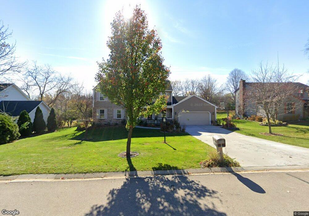
1345 Gaslight Dr Algonquin, IL 60102
Estimated Value: $461,165 - $521,000
About This Home
This home is located at 1345 Gaslight Dr, Algonquin, IL 60102 and is currently estimated at $490,541, approximately $205 per square foot. 1345 Gaslight Dr is a home located in Kane County with nearby schools including Westfield Community School, Kenneth E Neubert Elementary School, and Harry D Jacobs High School.
Ownership History
We collect this data history from publicly available records. To have your information removed, we recommend requesting removal directly through your county’s website.
Purchase Details
Home Financials for this Owner
Home Financials are based on the most recent Mortgage that was taken out on this home.Purchase Details
Home Financials for this Owner
Home Financials are based on the most recent Mortgage that was taken out on this home.Purchase Details
Home Financials for this Owner
Home Financials are based on the most recent Mortgage that was taken out on this home.Purchase History
We collect this data history from publicly available records. To have your information removed, we recommend requesting removal directly through your county’s website.
| Date | Buyer | Sale Price | Title Company |
|---|---|---|---|
| $345,000 | Ticor Title Insurance Co | ||
| $282,000 | Heritage Title Co | ||
| $236,500 | Chicago Title Insurance Co |
Mortgage History
We collect this data history from publicly available records. To have your information removed, we recommend requesting removal directly through your county’s website.
| Date | Status | Borrower | Loan Amount |
|---|---|---|---|
| Open | $238,000 | ||
| Previous Owner | $222,000 | ||
| Previous Owner | $176,500 |
Tax History
We collect this data history from publicly available records. To have your information removed, we recommend requesting removal directly through your county’s website.
| Year | Tax Paid | Tax Assessment Tax Assessment Total Assessment is a certain percentage of the fair market value that is determined by local assessors to be the total taxable value of land and additions on the property. | Land | Improvement |
|---|---|---|---|---|
| 2024 | $8,973 | $128,542 | $25,228 | $103,314 |
| 2023 | $8,578 | $115,657 | $22,699 | $92,958 |
| 2022 | $8,303 | $107,622 | $22,699 | $84,923 |
| 2021 | $8,086 | $99,776 | $21,432 | $78,344 |
| 2020 | $7,930 | $97,533 | $20,950 | $76,583 |
| 2019 | $8,249 | $98,911 | $19,888 | $79,023 |
| 2018 | $8,106 | $93,919 | $26,182 | $67,737 |
| 2017 | $7,782 | $87,857 | $24,492 | $63,365 |
| 2016 | $7,983 | $85,067 | $23,714 | $61,353 |
| 2015 | -- | $79,711 | $22,221 | $57,490 |
| 2014 | -- | $73,010 | $21,607 | $51,403 |
| 2013 | -- | $75,244 | $22,268 | $52,976 |
Map
- 1335 Gaslight Dr
- 14 Hampton Ct
- 11905 Kingston Place
- 1210 Merrill Ave
- SWC Talaga and Algonquin Rd
- 1111 Saint Andrews Ct Unit 282
- 1721 Dorchester Ave
- 1713 Edgewood Dr
- 1610 Hartley Dr
- 730 Yorktown Dr
- 1530 Westbourne Pkwy
- 1540 Westbourne Pkwy
- Lot #3-5 Hayes Rd
- 635 Oakview Dr Unit 6
- 209 Beach Dr
- 2067 Peach Tree Ln Unit 4115
- 1071 Glenmont St
- 1940 Waverly Ln
- 731 Roaring Brook Ln
- 2161 Burnham Ct
- 1325 Gaslight Dr Unit 2
- 1405 Gaslight Dr
- 1315 Gaslight Dr Unit 2
- 1320 Brandywine Cir
- 1330 Brandywine Cir
- 1310 Brandywine Cir
- 1400 Brandywine Cir
- 1330 Gaslight Dr
- 1340 Gaslight Dr
- 1320 Gaslight Dr
- 1415 Gaslight Dr
- 1305 Gaslight Dr
- 1300 Brandywine Cir
- 1410 Brandywine Cir
- 1310 Gaslight Dr
- 1400 Gaslight Dr
- 1425 Gaslight Dr
- 1215 Gaslight Dr
- 1300 Gaslight Dr
- 1420 Brandywine Cir
Ask me questions while you tour the home.