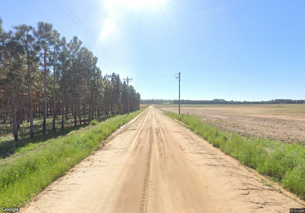
Estimated Value: $476,000 - $1,402,578
Studio
2
Baths
3,870
Sq Ft
$243/Sq Ft
Est. Value
About This Home
This home is located at 1345 Kennedy Hill Rd, Pavo, GA 31778 and is currently estimated at $939,289, approximately $242 per square foot. 1345 Kennedy Hill Rd is a home with nearby schools including North Brooks Elementary School.
Ownership History
Date
Name
Owned For
Owner Type
Purchase Details
Closed on
Apr 22, 2014
Sold by
Dowdy Randall B
Bought by
Conservation Use Covenant Recording
Current Estimated Value
Purchase Details
Closed on
Jun 8, 2004
Sold by
Hicks Richard N and Mary El
Bought by
Dowdy Randall B
Purchase Details
Closed on
Sep 29, 2003
Sold by
Black Charles W
Bought by
Hicks Richard N and Mary Ellen
Create a Home Valuation Report for This Property
The Home Valuation Report is an in-depth analysis detailing your home's value as well as a comparison with similar homes in the area
Purchase History
| Date | Buyer | Sale Price | Title Company |
|---|---|---|---|
| Conservation Use Covenant Recording | -- | -- | |
| Dowdy Randall B | $257,800 | -- | |
| Hicks Richard N | $274,400 | -- |
Source: Public Records
Tax History
| Year | Tax Paid | Tax Assessment Tax Assessment Total Assessment is a certain percentage of the fair market value that is determined by local assessors to be the total taxable value of land and additions on the property. | Land | Improvement |
|---|---|---|---|---|
| 2025 | $6,130 | $395,988 | $216,400 | $179,588 |
| 2024 | $6,095 | $395,988 | $216,400 | $179,588 |
| 2023 | $5,247 | $355,908 | $190,120 | $165,788 |
| 2022 | $5,035 | $305,628 | $181,040 | $124,588 |
| 2021 | $4,749 | $261,228 | $146,120 | $115,108 |
| 2020 | $7,263 | $261,508 | $146,120 | $115,388 |
| 2019 | $4,521 | $240,428 | $129,240 | $111,188 |
| 2018 | $7,571 | $259,228 | $146,760 | $112,468 |
| 2017 | $4,440 | $254,508 | $146,760 | $107,748 |
| 2016 | $4,452 | $255,708 | $146,760 | $108,948 |
| 2015 | -- | $256,068 | $146,760 | $109,308 |
| 2014 | -- | $231,868 | $146,760 | $85,108 |
| 2013 | -- | $201,600 | $163,320 | $38,280 |
Source: Public Records
Map
Nearby Homes
- 9283 Tallokas Rd Unit 54/13
- 9283 Tallokas Rd
- 3898 Beaty Rd
- 1136 Nesbitt Rd
- 3.97ACR Beaty Rd
- 581 Harris St
- 95 Azalea St
- 85 Hitch St
- 165 Fletcher St
- 800 Clifford St
- 1038-BA Church St
- 2430 Spain Rd
- 0 Burton Rd Unit 23760976
- 0 Burton Rd Unit 23669194
- 1521 Mount Carmel Chuch Rx
- 1230 Parrish Rd
- 410 Railroad St
- 331 Ashley St
- 128 Rogers St
- 7402 Coffee Rd
Your Personal Tour Guide
Ask me questions while you tour the home.
