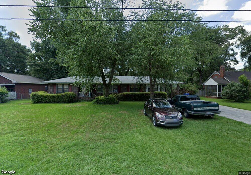
1345 Mosstree Rd North Charleston, SC 29405
Park Circle NeighborhoodEstimated Value: $571,000 - $694,000
3
Beds
2
Baths
2,214
Sq Ft
$288/Sq Ft
Est. Value
About This Home
This home is located at 1345 Mosstree Rd, North Charleston, SC 29405 and is currently estimated at $637,333, approximately $287 per square foot. 1345 Mosstree Rd is a home located in Charleston County with nearby schools including North Charleston Elementary School, Allegro Charter School of Music, and Morningside Middle.
Ownership History
Date
Name
Owned For
Owner Type
Purchase Details
Closed on
Apr 17, 2023
Sold by
Grant Mike J
Bought by
Grant Mike J and Grant Brennda B
Current Estimated Value
Home Financials for this Owner
Home Financials are based on the most recent Mortgage that was taken out on this home.
Original Mortgage
$253,000
Outstanding Balance
$237,021
Interest Rate
6.6%
Mortgage Type
New Conventional
Estimated Equity
$400,312
Create a Home Valuation Report for This Property
The Home Valuation Report is an in-depth analysis detailing your home's value as well as a comparison with similar homes in the area
Home Values in the Area
Average Home Value in this Area
Purchase History
| Date | Buyer | Sale Price | Title Company |
|---|---|---|---|
| Grant Mike J | -- | Mortgage Connect | |
| Grant Mike J | -- | Mortgage Connect |
Source: Public Records
Mortgage History
| Date | Status | Borrower | Loan Amount |
|---|---|---|---|
| Open | Grant Mike J | $253,000 | |
| Closed | Grant Mike J | $253,000 |
Source: Public Records
Tax History Compared to Growth
Tax History
| Year | Tax Paid | Tax Assessment Tax Assessment Total Assessment is a certain percentage of the fair market value that is determined by local assessors to be the total taxable value of land and additions on the property. | Land | Improvement |
|---|---|---|---|---|
| 2024 | $222 | $0 | $0 | $0 |
| 2023 | $222 | $8,360 | $0 | $0 |
| 2022 | $1,263 | $8,360 | $0 | $0 |
| 2021 | $1,313 | $8,360 | $0 | $0 |
| 2020 | $1,346 | $8,360 | $0 | $0 |
| 2019 | $1,196 | $7,280 | $0 | $0 |
| 2017 | $1,126 | $7,280 | $0 | $0 |
| 2016 | $1,088 | $7,280 | $0 | $0 |
| 2015 | $1,138 | $7,280 | $0 | $0 |
| 2014 | $978 | $0 | $0 | $0 |
| 2011 | -- | $0 | $0 | $0 |
Source: Public Records
Map
Nearby Homes
- 4515 Holmes Ave
- 4412 Holmes Ave
- 4530 Holly St
- 4566 Durant Ave
- 1213 Chesterfield Rd
- 4350 Rugheimer Ave
- 4488 Durant Ave
- 1174 Leesville St
- 4625 Durant Ave
- 4230 Barnwell Ave
- 4228 Barnwell Ave
- 4226 Barnwell Ave
- 4229 Barnwell Ave
- 1514 Cuyler Ln
- 4543 Mixson Ave
- 4587 Summey St
- 4577 Summey St
- 4714 Marlboro Rd
- 1181 Park Place S
- 1657 Indy Dr
- 1351 Mosstree Rd
- 1333 Mosstree Rd
- 1338 Bexley St
- 1344 Bexley St
- 1332 Bexley St
- 1321 Mosstree Rd
- 1350 Bexley St
- 1326 Bexley St
- 1340 Mosstree Rd
- 1330 Mosstree Rd
- 1401 Mosstree Rd
- 1320 Bexley St
- 1320 Mosstree Rd
- 1315 Mosstree Rd
- 1400 Bexley St
- 1314 Bexley St
- 1400 Mosstree Rd
- 1407 Mosstree Rd
- 1407 Mosstree Rd Unit 2
- 1310 Mosstree Rd