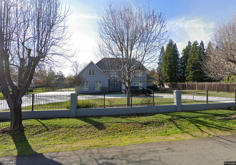
1345 Stewart Rd Sacramento, CA 95864
Marie-Gordon Heights NeighborhoodEstimated Value: $1,277,000 - $1,829,000
4
Beds
4
Baths
3,483
Sq Ft
$448/Sq Ft
Est. Value
About This Home
This home is located at 1345 Stewart Rd, Sacramento, CA 95864 and is currently estimated at $1,561,294, approximately $448 per square foot. 1345 Stewart Rd is a home located in Sacramento County with nearby schools including Mariemont Elementary School, Arden Middle School, and Rio Americano High School.
Ownership History
Date
Name
Owned For
Owner Type
Purchase Details
Closed on
Sep 11, 2015
Sold by
Abrate Margaret A
Bought by
Revocab Abrate Margaret A and Revocab 2015 Margaret A Abrate
Current Estimated Value
Purchase Details
Closed on
Dec 4, 2001
Sold by
Griffin Tom
Bought by
Abrate Margaret
Home Financials for this Owner
Home Financials are based on the most recent Mortgage that was taken out on this home.
Original Mortgage
$300,000
Outstanding Balance
$112,260
Interest Rate
6%
Estimated Equity
$1,449,034
Purchase Details
Closed on
Jun 26, 1995
Sold by
Poage Robert and Poage Lauren Heard
Bought by
Abrate Andy and Abrate Margaret
Create a Home Valuation Report for This Property
The Home Valuation Report is an in-depth analysis detailing your home's value as well as a comparison with similar homes in the area
Home Values in the Area
Average Home Value in this Area
Purchase History
| Date | Buyer | Sale Price | Title Company |
|---|---|---|---|
| Revocab Abrate Margaret A | -- | None Available | |
| Abrate Margaret | -- | Fidelity National Title Co | |
| Abrate Andy | $290,000 | Stewart Title |
Source: Public Records
Mortgage History
| Date | Status | Borrower | Loan Amount |
|---|---|---|---|
| Open | Abrate Margaret | $300,000 |
Source: Public Records
Tax History Compared to Growth
Tax History
| Year | Tax Paid | Tax Assessment Tax Assessment Total Assessment is a certain percentage of the fair market value that is determined by local assessors to be the total taxable value of land and additions on the property. | Land | Improvement |
|---|---|---|---|---|
| 2025 | $10,736 | $913,543 | $419,919 | $493,624 |
| 2024 | $10,736 | $895,632 | $411,686 | $483,946 |
| 2023 | $10,456 | $878,071 | $403,614 | $474,457 |
| 2022 | $10,398 | $860,854 | $395,700 | $465,154 |
| 2021 | $10,232 | $843,976 | $387,942 | $456,034 |
| 2020 | $10,041 | $835,323 | $383,965 | $451,358 |
| 2019 | $9,838 | $818,945 | $376,437 | $442,508 |
| 2018 | $9,795 | $802,888 | $369,056 | $433,832 |
| 2017 | $9,712 | $787,146 | $361,820 | $425,326 |
| 2016 | $9,073 | $771,713 | $354,726 | $416,987 |
| 2015 | $8,917 | $760,122 | $349,398 | $410,724 |
| 2014 | $8,730 | $745,233 | $342,554 | $402,679 |
Source: Public Records
Map
Nearby Homes
- 4313 Sierra Madre Dr
- 4320 Rand Ln
- 1508 Joby Ln
- 4611 Fair Oaks Blvd
- 1389 Pars Oak Ln
- 4116 Puente Way
- 1717 Mercury Way
- 1712 Mercury Way
- 1510 Barnett Cir
- 1325 Philomene Ct
- 1360 Pars Oak Ln
- 4040 Cayente Way
- 868 Wixford Way
- 1816 Eastern Ave
- 4935 Fair Oaks Blvd
- 4221 East Ln
- 5021 Jardin Ln
- 4525 Juno Way
- 1753 Park Place Dr
- 760 Cortlandt Dr
- 1336 Mariemont Ave
- 1401 Stewart Rd
- 1317 Stewart Rd
- 1350 Mariemont Ave
- 1316 Mariemont Ave
- 1400 Mariemont Ave
- 1341 Carter Rd
- 1412 Stewart Rd
- 4441 Rand Ln
- 4440 Berrendo Dr
- 1335 Mariemont Ave
- 1424 Mariemont Ave
- 1349 Mariemont Ave
- 1321 Mariemont Ave
- 1330 Carter Rd
- 4520 Berrendo Dr
- 1411 Mariemont Ave
- 1230 Stewart Rd
- 4528 Berrendo Dr
- 1301 Mariemont Ave