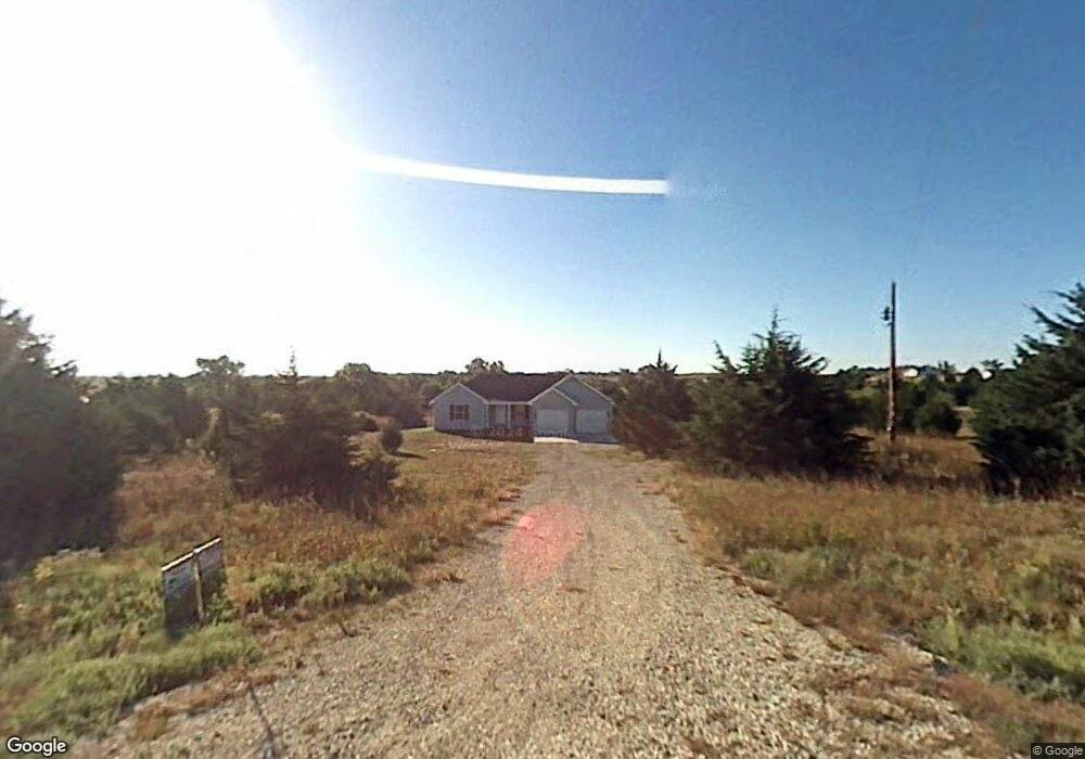
13460 Wildridge Rd Wamego, KS 66547
Estimated Value: $320,000 - $455,185
5
Beds
3
Baths
1,604
Sq Ft
$252/Sq Ft
Est. Value
About This Home
This home is located at 13460 Wildridge Rd, Wamego, KS 66547 and is currently estimated at $404,796, approximately $252 per square foot. 13460 Wildridge Rd is a home located in Pottawatomie County with nearby schools including Rock Creek Junior/Senior High School.
Ownership History
Date
Name
Owned For
Owner Type
Purchase Details
Closed on
Aug 6, 2008
Sold by
Burlingame Concrete Construction Inc
Bought by
Foster Timothy R and Foster Wendi S
Current Estimated Value
Home Financials for this Owner
Home Financials are based on the most recent Mortgage that was taken out on this home.
Original Mortgage
$212,000
Outstanding Balance
$141,376
Interest Rate
6.66%
Estimated Equity
$263,420
Create a Home Valuation Report for This Property
The Home Valuation Report is an in-depth analysis detailing your home's value as well as a comparison with similar homes in the area
Home Values in the Area
Average Home Value in this Area
Purchase History
| Date | Buyer | Sale Price | Title Company |
|---|---|---|---|
| Foster Timothy R | -- | None Available |
Source: Public Records
Mortgage History
| Date | Status | Borrower | Loan Amount |
|---|---|---|---|
| Open | Foster Timothy R | $212,000 |
Source: Public Records
Tax History Compared to Growth
Tax History
| Year | Tax Paid | Tax Assessment Tax Assessment Total Assessment is a certain percentage of the fair market value that is determined by local assessors to be the total taxable value of land and additions on the property. | Land | Improvement |
|---|---|---|---|---|
| 2025 | $3,533 | $37,931 | $4,479 | $33,452 |
| 2024 | $35 | $36,725 | $4,304 | $32,421 |
| 2023 | $3,601 | $35,799 | $4,310 | $31,489 |
| 2022 | $2,998 | $32,135 | $4,191 | $27,944 |
| 2021 | $2,998 | $29,738 | $3,846 | $25,892 |
| 2020 | $2,998 | $29,561 | $3,846 | $25,715 |
| 2019 | $3,094 | $30,103 | $3,846 | $26,257 |
| 2018 | $3,182 | $30,073 | $3,703 | $26,370 |
| 2017 | $2,796 | $29,809 | $3,703 | $26,106 |
| 2016 | $2,668 | $29,426 | $3,580 | $25,846 |
| 2015 | -- | $28,934 | $3,534 | $25,400 |
| 2014 | -- | $26,335 | $3,288 | $23,047 |
Source: Public Records
Map
Nearby Homes
- 13000 Anthony Dr
- 4225 Rockenham Rd
- 4075 Rockenham Cir
- 14362 Prairie W
- 14344 Prairie W
- 14226 Prairie W
- 00000 Prairie Trail (Lot #3)
- 00000 Wildwood Cir
- 00000 Prairie Trail
- 13318 Woodland Dr
- 14205 Prairie Trail
- 14416 Wildwood Cir
- 14409 Wildwood Cir
- 13880 Berry Ln
- 14391 Prairie Trail
- 14380 Prairie Trail
- 14373 Prairie Trail
- 14434 Wildwood Cir
- 14470 Wildwood Cir
- 14578 Wildwood Cir
- 13482 Wildridge Rd
- 13420 Wildridge Rd
- 13445 Wildridge Rd
- 13420 Wildridge Dr
- 13495 Wildridge Rd
- 13520 Wildridge Rd
- 13383 Wildridge Dr
- 13395 Wildridge Dr
- 13525 Wildridge Dr
- 13525 Cottonwood Ln
- 13525 Wildridge Dr
- 13475 Cottonwood Ln
- 13370 Wildridge Rd
- 13570 Wildridge Dr
- 13570 Wildridge Dr
- 13383 Wildridge Dr
- 13575 Cottonwood Ln
- 13575 Wildridge Dr
- 13425 Cottonwood Ln
- 13480 Cottonwood Ln