13461 Kings Way Redding, CA 96003
Estimated Value: $479,000 - $519,000
3
Beds
2
Baths
1,831
Sq Ft
$270/Sq Ft
Est. Value
About This Home
This home is located at 13461 Kings Way, Redding, CA 96003 and is currently estimated at $494,791, approximately $270 per square foot. 13461 Kings Way is a home located in Shasta County.
Ownership History
Date
Name
Owned For
Owner Type
Purchase Details
Closed on
Feb 11, 2008
Sold by
Va
Bought by
Dale Robert J and Dale Carol A
Current Estimated Value
Home Financials for this Owner
Home Financials are based on the most recent Mortgage that was taken out on this home.
Original Mortgage
$482,932
Outstanding Balance
$254,772
Interest Rate
3.1%
Mortgage Type
Reverse Mortgage Home Equity Conversion Mortgage
Estimated Equity
$240,019
Purchase Details
Closed on
Feb 27, 1997
Sold by
Sp Diez Julio A and Sp Nora A
Bought by
Dale Robert J and Dale Carol A
Create a Home Valuation Report for This Property
The Home Valuation Report is an in-depth analysis detailing your home's value as well as a comparison with similar homes in the area
Home Values in the Area
Average Home Value in this Area
Purchase History
| Date | Buyer | Sale Price | Title Company |
|---|---|---|---|
| Dale Robert J | -- | Fidelity National Title | |
| Dale Robert J | $13,185 | Fidelity National Title |
Source: Public Records
Mortgage History
| Date | Status | Borrower | Loan Amount |
|---|---|---|---|
| Open | Dale Robert J | $482,932 |
Source: Public Records
Tax History Compared to Growth
Tax History
| Year | Tax Paid | Tax Assessment Tax Assessment Total Assessment is a certain percentage of the fair market value that is determined by local assessors to be the total taxable value of land and additions on the property. | Land | Improvement |
|---|---|---|---|---|
| 2025 | $4,042 | $349,215 | $106,085 | $243,130 |
| 2024 | $3,964 | $342,368 | $104,005 | $238,363 |
| 2023 | $3,964 | $335,656 | $101,966 | $233,690 |
| 2022 | $3,839 | $329,075 | $99,967 | $229,108 |
| 2021 | $3,820 | $322,623 | $98,007 | $224,616 |
| 2020 | $3,786 | $319,316 | $97,003 | $222,313 |
| 2019 | $3,672 | $313,055 | $95,101 | $217,954 |
| 2018 | $3,687 | $306,918 | $93,237 | $213,681 |
| 2017 | $3,627 | $300,901 | $91,409 | $209,492 |
| 2016 | $3,475 | $295,002 | $89,617 | $205,385 |
| 2015 | $3,421 | $290,571 | $88,271 | $202,300 |
| 2014 | $3,428 | $284,880 | $86,542 | $198,338 |
Source: Public Records
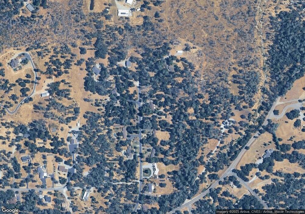
Map
Nearby Homes
- 0 Bear Mountain Rd Unit 25-3999
- 20509 Bernard Way
- 0 Spring Lake St
- 13160 Bear Mountain Rd
- 0 Manzanillo Way Unit 25-2218
- 0 Manzanillo Way Unit 22-4418
- 13592 Old Oregon Trail
- 19902 Little Acres Ln
- 20700 Bernard Way
- 13911 Blue Ridge Dr
- 19924 Woodchuck Trail
- 20119 Sunrise Dr
- NSA Bernard Way
- 0 Bernard Way
- 13365 Tierra Heights Rd
- 13787 Walter Ave
- 13320 Tierra Heights Rd
- 13155 Tierra Heights Rd
- 13315 Tierra Heights Rd
- 12832 Los Osos St
- 13433 Kings Way
- 13460 Kings Way
- 13471 Kings Way
- 13413 Kings Way
- 13432 Kings Way
- 13412 Kings Way
- 13403 Kings Way
- 13404 Kings Way
- 0 6 4 Acres Off Bear Mountain Rd
- 13383 Kings Way
- 0 Los Palos Dr Unit 8-6073
- 0 Los Palos Dr Unit 12-4535
- 0 Los Palos Dr
- 20245 Oakwood Rd
- 13399 Calle de Lorena
- 20200 Los Palos Dr
- 13351 Fernie Way
- 20211 Los Palos Dr
- 13346 Kings Way
- 13303 Intermountain Rd