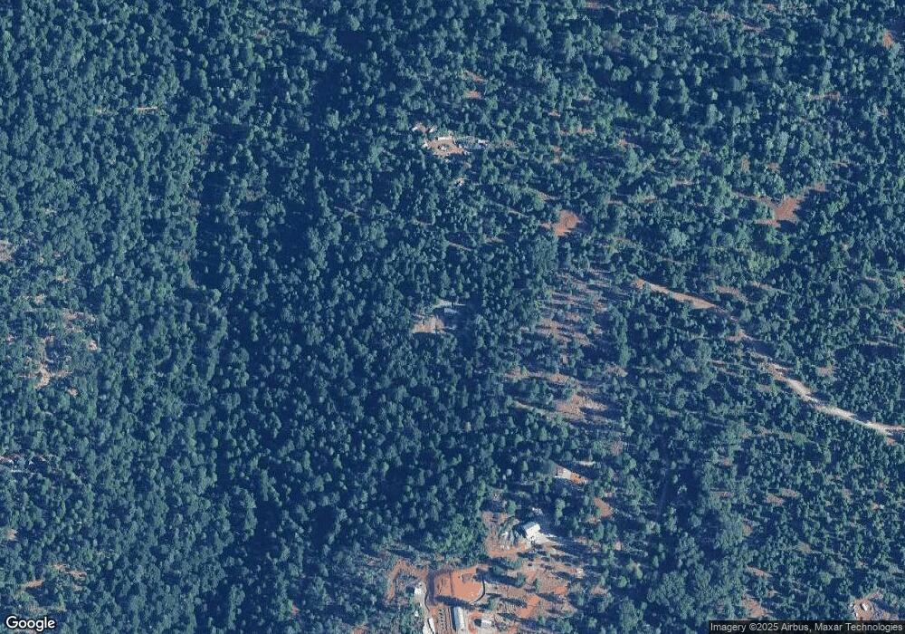
13474 Deep Creek Rd Nevada City, CA 95959
Estimated Value: $801,000 - $942,000
3
Beds
2
Baths
2,919
Sq Ft
$297/Sq Ft
Est. Value
About This Home
This home is located at 13474 Deep Creek Rd, Nevada City, CA 95959 and is currently estimated at $866,428, approximately $296 per square foot. 13474 Deep Creek Rd is a home located in Nevada County with nearby schools including Deer Creek Elementary School and Seven Hills Intermediate School.
Ownership History
Date
Name
Owned For
Owner Type
Purchase Details
Closed on
Dec 16, 1999
Sold by
Barbakow Paul T and Barbakow Pauline L
Bought by
Mccaffree Patrick and Mccaffree Ilana
Current Estimated Value
Purchase Details
Closed on
Jun 18, 1999
Sold by
Mccaffree Patrick and Mccaffree Ilana
Bought by
Barbakow Paul T and Barbakow Pauline L
Purchase Details
Closed on
May 11, 1999
Sold by
Reed Diana L
Bought by
Mccaffree Patrick and Mccaffree Ilana
Create a Home Valuation Report for This Property
The Home Valuation Report is an in-depth analysis detailing your home's value as well as a comparison with similar homes in the area
Home Values in the Area
Average Home Value in this Area
Purchase History
| Date | Buyer | Sale Price | Title Company |
|---|---|---|---|
| Mccaffree Patrick | -- | Fidelity National Title Co | |
| Barbakow Paul T | -- | -- | |
| Mccaffree Patrick | $19,000 | Fidelity National Title Co |
Source: Public Records
Tax History Compared to Growth
Tax History
| Year | Tax Paid | Tax Assessment Tax Assessment Total Assessment is a certain percentage of the fair market value that is determined by local assessors to be the total taxable value of land and additions on the property. | Land | Improvement |
|---|---|---|---|---|
| 2025 | $7,125 | $670,586 | $66,534 | $604,052 |
| 2024 | $6,987 | $657,438 | $65,230 | $592,208 |
| 2023 | $6,987 | $644,548 | $63,951 | $580,597 |
| 2022 | $6,844 | $631,911 | $62,698 | $569,213 |
| 2021 | $6,670 | $619,521 | $61,469 | $558,052 |
| 2020 | $6,656 | $613,169 | $60,839 | $552,330 |
| 2019 | $6,521 | $462,037 | $59,647 | $402,390 |
| 2018 | $4,962 | $452,978 | $58,478 | $394,500 |
| 2017 | $4,388 | $398,489 | $57,989 | $340,500 |
| 2016 | $4,134 | $381,519 | $58,019 | $323,500 |
| 2015 | $3,816 | $350,649 | $57,149 | $293,500 |
| 2014 | $3,765 | $344,638 | $39,258 | $305,380 |
Source: Public Records
Map
Nearby Homes
- 14915 Lolas Echo Rd
- 14014 Red Dog Rd
- 16805 Jones Ridge Rd
- 14289 Banner Mtn Lookout Rd
- 14757 Sanctum Place
- 12444 Manion Canyon Rd
- 16425 Jones Ridge Rd
- 13162 Manion Canyon Rd
- 13755 Quaker Hill Cross Rd
- 12755 Red Dog Rd
- 11668 Blackberry Place
- 13646 Quaker Hill Cross Rd
- 14138-14164 Quaker Hill Cross Rd
- 11352 Caroline Ln
- 13837 Gemini Ct
- 13518 Quaker Hill Cross Rd
- 17215 Sweetwater Trail
- 13966 Mill Creek Ln
- 16856 Red Dog Rd
- 11610 Victorian Ct
- 13413 Deep Creek Rd
- 13413 Deep Creek Rd
- 17045 Dusty Dr
- 13297 Wild Lily Place
- 13975 Wings of Morning Dr Unit House Apt.
- 13975 Wings of Morning Dr
- 13969 Wings of Morning Dr
- 17318 Dusty Dr
- 13182 Wild Lily Place
- 17347 Dusty Dr
- 14052 Wings of Morning Dr
- 13938 Wings of Morning Dr
- 13380 Wild Lily Place
- 15187 Banner Lava Cap Rd
- 14415 Opalite Way
- 13877 Wings of Morning Dr
- 13840 Wings of Morning Dr
- 14530 Opalite Way
- 12577 Blazing Star Rd
