Estimated Value: $195,000 - $218,000
3
Beds
2
Baths
1,494
Sq Ft
$137/Sq Ft
Est. Value
About This Home
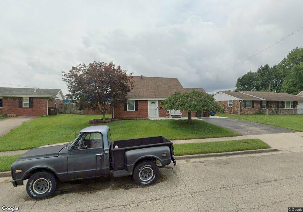
This home is located at 1348 Commonwealth Dr, Xenia, OH 45385 and is currently estimated at $204,407, approximately $136 per square foot. 1348 Commonwealth Dr is a home located in Greene County with nearby schools including Xenia High School and Summit Academy Community School for Alternative Learners - Xenia.
Ownership History
Date
Name
Owned For
Owner Type
Purchase Details
Closed on
Jun 12, 2007
Sold by
Hornick Stacie J
Bought by
Flott James L
Current Estimated Value
Home Financials for this Owner
Home Financials are based on the most recent Mortgage that was taken out on this home.
Original Mortgage
$103,500
Outstanding Balance
$63,365
Interest Rate
6.2%
Mortgage Type
VA
Estimated Equity
$141,042
Purchase Details
Closed on
Nov 22, 2005
Sold by
Hornick Todd M
Bought by
Hornick Stacie J
Home Financials for this Owner
Home Financials are based on the most recent Mortgage that was taken out on this home.
Original Mortgage
$97,200
Interest Rate
6.2%
Mortgage Type
Fannie Mae Freddie Mac
Purchase Details
Closed on
Sep 9, 1998
Sold by
Border Rickey L and Gayle Nola
Bought by
Hornick Todd M and Hornick Stacie J
Home Financials for this Owner
Home Financials are based on the most recent Mortgage that was taken out on this home.
Original Mortgage
$68,450
Interest Rate
6.98%
Mortgage Type
FHA
Create a Home Valuation Report for This Property
The Home Valuation Report is an in-depth analysis detailing your home's value as well as a comparison with similar homes in the area
Home Values in the Area
Average Home Value in this Area
Purchase History
| Date | Buyer | Sale Price | Title Company |
|---|---|---|---|
| Flott James L | $103,500 | Attorney | |
| Hornick Stacie J | -- | -- | |
| Hornick Todd M | $68,500 | -- |
Source: Public Records
Mortgage History
| Date | Status | Borrower | Loan Amount |
|---|---|---|---|
| Open | Flott James L | $103,500 | |
| Previous Owner | Hornick Stacie J | $97,200 | |
| Previous Owner | Hornick Todd M | $68,450 |
Source: Public Records
Tax History Compared to Growth
Tax History
| Year | Tax Paid | Tax Assessment Tax Assessment Total Assessment is a certain percentage of the fair market value that is determined by local assessors to be the total taxable value of land and additions on the property. | Land | Improvement |
|---|---|---|---|---|
| 2024 | $1,317 | $51,200 | $10,680 | $40,520 |
| 2023 | $1,317 | $51,200 | $10,680 | $40,520 |
| 2022 | $1,833 | $36,540 | $6,280 | $30,260 |
| 2021 | $1,858 | $36,540 | $6,280 | $30,260 |
| 2020 | $1,780 | $36,540 | $6,280 | $30,260 |
| 2019 | $1,613 | $31,180 | $6,240 | $24,940 |
| 2018 | $1,620 | $31,180 | $6,240 | $24,940 |
| 2017 | $1,573 | $31,180 | $6,240 | $24,940 |
| 2016 | $1,492 | $28,190 | $6,240 | $21,950 |
| 2015 | $1,496 | $28,190 | $6,240 | $21,950 |
| 2014 | $1,433 | $28,190 | $6,240 | $21,950 |
Source: Public Records
Map
Nearby Homes
- 1769 Gayhart Dr
- 1829 Gayhart Dr
- 2142 Michigan Dr
- 1403 Texas Dr
- 1908 Whitt St
- 2257 Maryland Dr
- 1653 Seneca Dr
- 1107 Arkansas Dr
- 2545 Harmony Dr
- 414 Whisper Ln
- 1255 Colorado Dr
- 1778 Arapaho Dr
- 1866 Roxbury Dr
- 1618 Navajo Dr
- 2758 Wyoming Dr
- 2345 Tennessee Dr
- 219 Kansas Dr
- 161 Montana Dr
- 2499 Jenny Marie Dr
- 1568 Cheyenne Dr
- 1334 Commonwealth Dr
- 1362 Commonwealth Dr
- 1320 Commonwealth Dr
- 1374 Commonwealth Dr
- 1361 Commonwealth Dr
- 1347 Commonwealth Dr
- 1306 Commonwealth Dr
- 1333 Commonwealth Dr
- 1379 Commonwealth Dr
- 1319 Commonwealth Dr
- 1399 Commonwealth Dr
- 3300 Wyoming Dr
- 1305 Commonwealth Dr
- 1931 Nebraska Dr
- 1917 Nebraska Dr
- 3286 Wyoming Dr
- 3350 Wyoming Dr
- 1945 Nebraska Dr
- 3272 Wyoming Dr
- 1959 Nebraska Dr