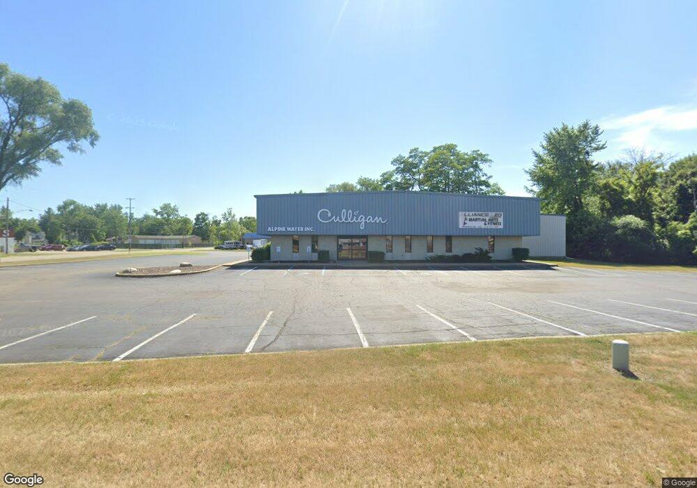
1348 King Hwy Unit B Kalamazoo, MI 49001
Edison NeighborhoodEstimated Value: $1,074,910
--
Bed
--
Bath
15,294
Sq Ft
$70/Sq Ft
Est. Value
About This Home
This home is located at 1348 King Hwy Unit B, Kalamazoo, MI 49001 and is currently estimated at $1,074,910, approximately $70 per square foot. 1348 King Hwy Unit B is a home located in Kalamazoo County with nearby schools including Edison Environmental Science Academy, Maple Street Magnet School for the Arts, and Loy Norrix High School.
Ownership History
Date
Name
Owned For
Owner Type
Purchase Details
Closed on
Mar 3, 2010
Sold by
Kendall Electric Incorporated
Bought by
Jackson David A and Jackson Mary E
Current Estimated Value
Home Financials for this Owner
Home Financials are based on the most recent Mortgage that was taken out on this home.
Original Mortgage
$212,500
Outstanding Balance
$141,192
Interest Rate
5.03%
Mortgage Type
Future Advance Clause Open End Mortgage
Estimated Equity
$933,718
Create a Home Valuation Report for This Property
The Home Valuation Report is an in-depth analysis detailing your home's value as well as a comparison with similar homes in the area
Home Values in the Area
Average Home Value in this Area
Purchase History
| Date | Buyer | Sale Price | Title Company |
|---|---|---|---|
| Jackson David A | $425,000 | Chicago Title |
Source: Public Records
Mortgage History
| Date | Status | Borrower | Loan Amount |
|---|---|---|---|
| Open | Jackson David A | $212,500 |
Source: Public Records
Tax History Compared to Growth
Tax History
| Year | Tax Paid | Tax Assessment Tax Assessment Total Assessment is a certain percentage of the fair market value that is determined by local assessors to be the total taxable value of land and additions on the property. | Land | Improvement |
|---|---|---|---|---|
| 2025 | $14,717 | $301,700 | $0 | $0 |
| 2024 | $6,099 | $284,600 | $0 | $0 |
| 2023 | $5,812 | $283,900 | $0 | $0 |
| 2022 | $13,348 | $281,000 | $0 | $0 |
| 2021 | $12,910 | $242,600 | $0 | $0 |
| 2020 | $12,666 | $228,300 | $0 | $0 |
| 2019 | $12,198 | $198,600 | $0 | $0 |
| 2018 | $11,917 | $189,600 | $0 | $0 |
| 2017 | $12,531 | $177,600 | $0 | $0 |
| 2016 | $12,531 | $171,300 | $0 | $0 |
| 2015 | $12,531 | $173,000 | $0 | $0 |
| 2014 | $12,531 | $175,700 | $0 | $0 |
Source: Public Records
Map
Nearby Homes
- 907 Russell St
- 427 Sheldon St
- 1129 Mills St
- 1211 James St
- 619 Lake St
- 1212 Washington Ave
- 1303 E Stockbridge Ave
- 920 Washington Ave
- 1517 E Stockbridge Ave
- 916 Washington Ave
- 1707 E Stockbridge Ave
- 923 E Stockbridge Ave
- 1336 Portage St
- 117 E Stockbridge Ave
- 644 Lake St
- 1002 Egleston Ave
- 407 Phelps Ave
- 1512 Race St
- 2008 E Stockbridge Ave
- 1028 Clinton Ave
- 1348 King Hwy
- 723 Hibbard Ave
- 733 Hibbard Ave
- 715 Hibbard Ave
- 725 Hibbard Ave
- 711 Hibbard Ave
- 1313 Branch St Unit Works
- 1313 Branch St Unit Showr
- 1313 Branch St Unit Wareh
- 1313 Branch St Unit Entir
- 1313 Branch St Unit Workspace
- 1313 Branch St Unit Entire Building
- 1313 Branch St Unit Showroom
- 1313 Branch St Unit Warehouse
- 1313 Branch St
- 1310 4th St
- 719 Hibbard Ave
- 1302 4th St
- 1306 4th St
- 1338 Branch St Unit 1