13491 Albright Ln Unit Lot 7 Bigfork, MT 59911
Estimated Value: $915,000 - $1,407,676
1
Bed
2
Baths
918
Sq Ft
$1,235/Sq Ft
Est. Value
About This Home
This home is located at 13491 Albright Ln Unit Lot 7, Bigfork, MT 59911 and is currently estimated at $1,133,892, approximately $1,235 per square foot. 13491 Albright Ln Unit Lot 7 is a home located in Lake County with nearby schools including Bigfork Elementary School, Bigfork Middle School, and Bigfork High School.
Ownership History
Date
Name
Owned For
Owner Type
Purchase Details
Closed on
Sep 15, 2017
Sold by
Last Best Place Llc
Bought by
Frank Jeffrey S and Frank Eugenia M
Current Estimated Value
Home Financials for this Owner
Home Financials are based on the most recent Mortgage that was taken out on this home.
Original Mortgage
$424,100
Outstanding Balance
$354,154
Interest Rate
3.9%
Mortgage Type
New Conventional
Estimated Equity
$779,738
Purchase Details
Closed on
Mar 26, 2007
Sold by
Idler Richard D
Bought by
Last Best Place Llc
Create a Home Valuation Report for This Property
The Home Valuation Report is an in-depth analysis detailing your home's value as well as a comparison with similar homes in the area
Home Values in the Area
Average Home Value in this Area
Purchase History
| Date | Buyer | Sale Price | Title Company |
|---|---|---|---|
| Frank Jeffrey S | -- | Fidelity National Title | |
| Last Best Place Llc | -- | None Available | |
| Idler Richard D | -- | None Available |
Source: Public Records
Mortgage History
| Date | Status | Borrower | Loan Amount |
|---|---|---|---|
| Open | Frank Jeffrey S | $424,100 |
Source: Public Records
Tax History Compared to Growth
Tax History
| Year | Tax Paid | Tax Assessment Tax Assessment Total Assessment is a certain percentage of the fair market value that is determined by local assessors to be the total taxable value of land and additions on the property. | Land | Improvement |
|---|---|---|---|---|
| 2025 | $9,157 | $1,850,219 | $0 | $0 |
| 2024 | $6,729 | $1,155,600 | $0 | $0 |
| 2023 | $6,395 | $1,155,600 | $0 | $0 |
| 2022 | $4,944 | $687,200 | $0 | $0 |
| 2021 | $5,191 | $687,200 | $0 | $0 |
| 2020 | $5,195 | $658,500 | $0 | $0 |
| 2019 | $5,091 | $658,500 | $0 | $0 |
| 2018 | $5,603 | $710,800 | $0 | $0 |
Source: Public Records
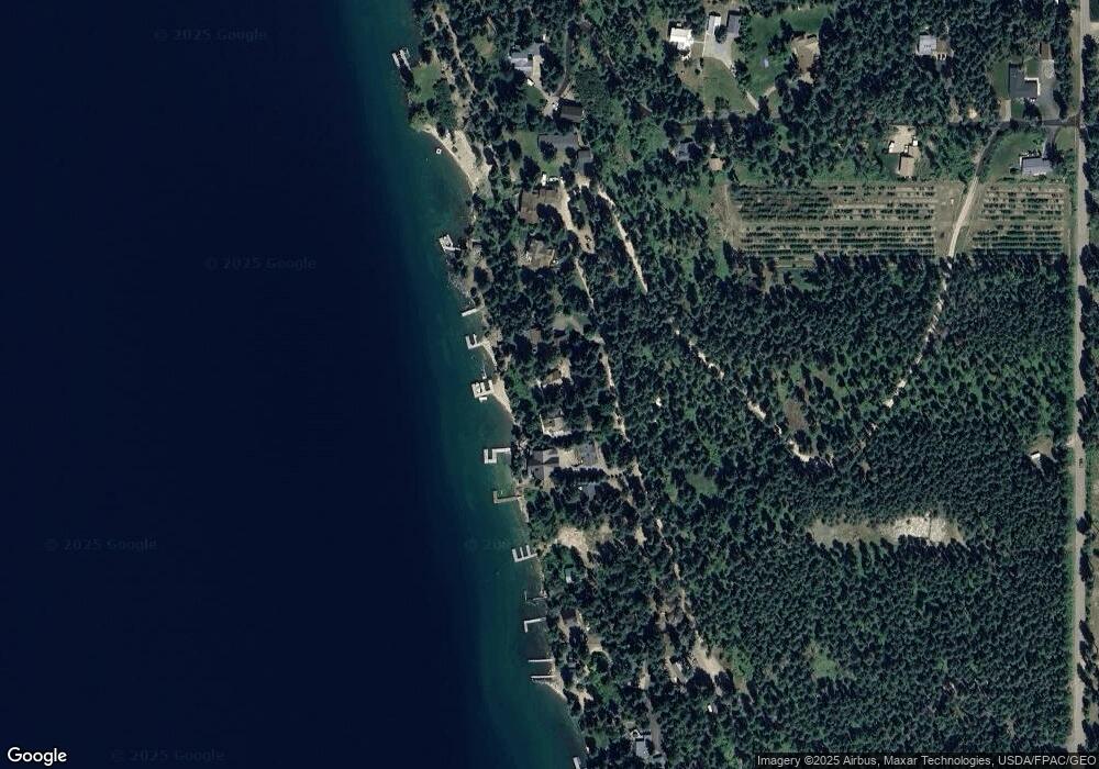
Map
Nearby Homes
- NHN Sylvan Dr
- 181 Sylvan Dr
- 13390 Montana Highway 35
- 33676 Hilltop Terrace
- NHN Hilltop Terrace
- Nhn Westview Dr
- 9234 Montana Highway 35
- 13962 Pine St
- 33376 Orchard Hills Dr
- 52 Hidden Dr
- 14306 Yenne Point Rd
- 14530 Yenne Point Rd
- Nhn Yenne Point Rd
- 32996 Orchard Dr
- 52 Hidden Harbor
- 551 Ranch Rd
- 604 Ranch Rd
- 616 Ranch Rd
- 15286 Woods Bay Point Rd
- 661 Latigo Ln
- 13491 Albright Ln
- Nhn Albright Ln
- 13555 Albright Ln
- 302 Albright Ln
- 13519 Albright Ln Unit Lot 7
- 13519 Albright Ln Unit Lot 8
- 13519 Albright Ln
- 13519 Albright Ln Unit Lot 8
- 13637 Albright Ln
- 0 Albright Ln
- 982 Albright Ln
- 33998 County Line Dr
- 192 County Line Dr
- 13335 Sylvan Dr
- 194 Sylvan Dr
- 33940 County Line Dr
- 33889 County Line Dr
- 13341 Sylvan Dr
- 13645 Albright Ln
- 660 Sylvan Dr