135 Apache Rd Harrellsville, NC 27942
Estimated Value: $121,000 - $298,000
4
Beds
2
Baths
1,013
Sq Ft
$218/Sq Ft
Est. Value
About This Home
This home is located at 135 Apache Rd, Harrellsville, NC 27942 and is currently estimated at $220,461, approximately $217 per square foot. 135 Apache Rd is a home.
Create a Home Valuation Report for This Property
The Home Valuation Report is an in-depth analysis detailing your home's value as well as a comparison with similar homes in the area
Tax History
| Year | Tax Paid | Tax Assessment Tax Assessment Total Assessment is a certain percentage of the fair market value that is determined by local assessors to be the total taxable value of land and additions on the property. | Land | Improvement |
|---|---|---|---|---|
| 2025 | $1,510 | $147,655 | $0 | $0 |
| 2024 | $1,500 | $147,655 | $0 | $0 |
| 2023 | $1,500 | $147,655 | $0 | $0 |
| 2022 | $1,430 | $147,655 | $0 | $0 |
| 2019 | $1,420 | $147,655 | $0 | $0 |
| 2018 | $1,255 | $131,594 | $0 | $0 |
| 2017 | $1,255 | $131,594 | $0 | $0 |
| 2016 | $1,255 | $131,594 | $0 | $0 |
| 2015 | -- | $131,594 | $0 | $0 |
| 2014 | -- | $131,594 | $0 | $0 |
Source: Public Records
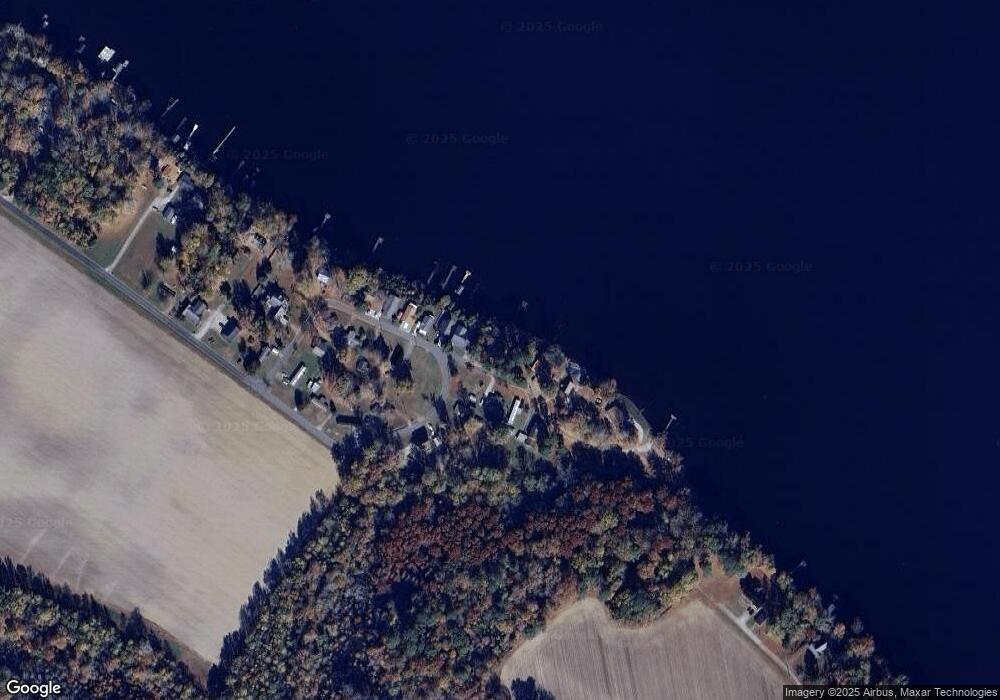
Map
Nearby Homes
- 118 Apache Rd
- TBD Swains Mill Rd
- 2317 N Carolina 45
- 115 Taylors Way
- 419 Cannons Ferry Rd
- 415 Cannons Ferry Rd
- 4136 Virginia Rd
- 37 Zion Rd
- 358 Flat Branch Rd
- 1306 Slick Hill Rd
- 111 Pueblo Trail
- 1502 Sac Trail
- 100 Pueblo Trail
- 121 & 123 Pueblo Trail
- 213 Shoshone Trail
- 0 U S 158 Business
- 328 Ryland Rd
- 313 Pima Trail Unit Lot 133
- 315 Pima Trail Unit Lot 134
- 208 Seminole Trail Unit Lot 104
Your Personal Tour Guide
Ask me questions while you tour the home.