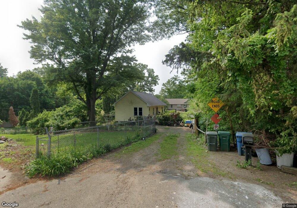
135 Arbor St Battle Creek, MI 49015
Westlake Prairieview NeighborhoodEstimated Value: $96,498 - $120,000
1
Bed
1
Bath
560
Sq Ft
$200/Sq Ft
Est. Value
About This Home
This home is located at 135 Arbor St, Battle Creek, MI 49015 and is currently estimated at $112,125, approximately $200 per square foot. 135 Arbor St is a home located in Calhoun County with nearby schools including Lakeview Middle School, Lakeview High School, and Arbor Academy.
Ownership History
Date
Name
Owned For
Owner Type
Purchase Details
Closed on
Oct 2, 1997
Sold by
Shepard Raymond L and Shepard Genieve
Bought by
Shepard Diane R
Current Estimated Value
Purchase Details
Closed on
Apr 30, 1994
Sold by
Greenman Thomas R and Greenman Brenda V
Bought by
Shepard Raymond L and Shepard Genieve D
Home Financials for this Owner
Home Financials are based on the most recent Mortgage that was taken out on this home.
Original Mortgage
$26,400
Interest Rate
6.07%
Mortgage Type
Credit Line Revolving
Purchase Details
Closed on
Apr 5, 1994
Bought by
Greenman Thomas R and Greenman Brenda
Home Financials for this Owner
Home Financials are based on the most recent Mortgage that was taken out on this home.
Original Mortgage
$26,400
Interest Rate
6.07%
Mortgage Type
Credit Line Revolving
Create a Home Valuation Report for This Property
The Home Valuation Report is an in-depth analysis detailing your home's value as well as a comparison with similar homes in the area
Home Values in the Area
Average Home Value in this Area
Purchase History
| Date | Buyer | Sale Price | Title Company |
|---|---|---|---|
| Shepard Diane R | $16,000 | -- | |
| Shepard Raymond L | $731,913 | -- | |
| Shepard Raymond L | $7,300 | -- | |
| Greenman Thomas R | $7,300 | -- | |
| Breenman Thomas R | $7,300 | -- |
Source: Public Records
Mortgage History
| Date | Status | Borrower | Loan Amount |
|---|---|---|---|
| Previous Owner | Shepard Raymond L | $26,400 |
Source: Public Records
Tax History Compared to Growth
Tax History
| Year | Tax Paid | Tax Assessment Tax Assessment Total Assessment is a certain percentage of the fair market value that is determined by local assessors to be the total taxable value of land and additions on the property. | Land | Improvement |
|---|---|---|---|---|
| 2025 | -- | $38,400 | $0 | $0 |
| 2024 | $808 | $35,932 | $0 | $0 |
| 2023 | $921 | $31,485 | $0 | $0 |
| 2022 | $730 | $26,931 | $0 | $0 |
| 2021 | $897 | $25,555 | $0 | $0 |
| 2020 | $844 | $24,711 | $0 | $0 |
| 2019 | $840 | $23,841 | $0 | $0 |
| 2018 | $840 | $20,336 | $5,126 | $15,210 |
| 2017 | $815 | $19,362 | $0 | $0 |
| 2016 | $813 | $17,237 | $0 | $0 |
| 2015 | $781 | $19,746 | $3,930 | $15,816 |
| 2014 | $781 | $19,436 | $3,930 | $15,506 |
Source: Public Records
Map
Nearby Homes
- 123 Arbor St
- 143 Waupakisco Beach
- 245 20th St S
- 96 Woodrow Ave S
- 177 Wheaton Ave
- 0 Terry Ct
- 179 Wheaton Ave
- 1 Woodrow Ct
- 126 Devoll Ct
- 1305 Lakeview Ave
- 1302 Lakeview Ave
- 563 Wentworth Ave
- 1330 Lakeview Ave
- 348 Lakeview Ave
- 251 Columbia Ave W Unit 1
- 450 Orchard Ln
- 109 23rd St S
- 0 Jennings Landing
- 890 Fairfield Ave
- 265 Lakeshore Dr