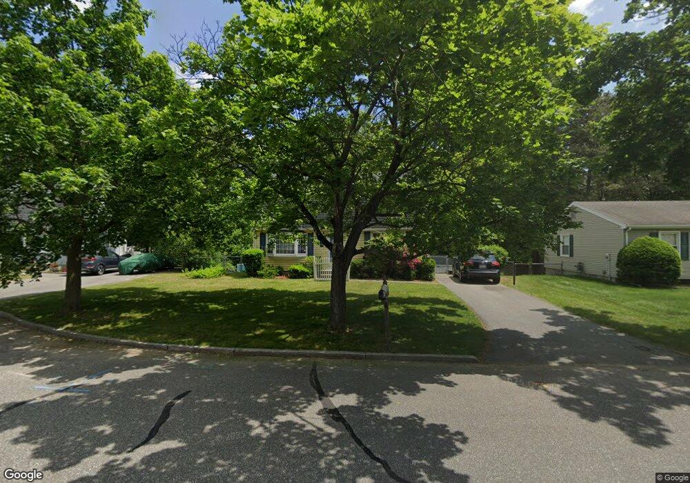
135 Bairdcrest Rd Springfield, MA 01118
East Forest Park NeighborhoodEstimated Value: $299,000 - $344,000
3
Beds
2
Baths
1,536
Sq Ft
$213/Sq Ft
Est. Value
About This Home
This home is located at 135 Bairdcrest Rd, Springfield, MA 01118 and is currently estimated at $326,777, approximately $212 per square foot. 135 Bairdcrest Rd is a home located in Hampden County with nearby schools including Frederick Harris Elementary School, M Marcus Kiley Middle, and Springfield High School of Science and Technology.
Ownership History
Date
Name
Owned For
Owner Type
Purchase Details
Closed on
May 21, 2024
Sold by
Massmutual Fcu
Bought by
Sanders Nicole M
Current Estimated Value
Home Financials for this Owner
Home Financials are based on the most recent Mortgage that was taken out on this home.
Original Mortgage
$198,058
Outstanding Balance
$195,099
Interest Rate
6.88%
Mortgage Type
Purchase Money Mortgage
Estimated Equity
$131,678
Purchase Details
Closed on
Feb 14, 2011
Sold by
Sanders Andrew M and Sanders Rose M
Bought by
Springfield City Of
Purchase Details
Closed on
Oct 29, 1998
Sold by
Davis Nancy J
Bought by
Sanders Andrew M and Sanders Rose M
Home Financials for this Owner
Home Financials are based on the most recent Mortgage that was taken out on this home.
Original Mortgage
$83,000
Interest Rate
6.68%
Mortgage Type
Purchase Money Mortgage
Purchase Details
Closed on
Jan 26, 1987
Sold by
Yevalenko Myron
Bought by
Davis Donald V
Create a Home Valuation Report for This Property
The Home Valuation Report is an in-depth analysis detailing your home's value as well as a comparison with similar homes in the area
Home Values in the Area
Average Home Value in this Area
Purchase History
| Date | Buyer | Sale Price | Title Company |
|---|---|---|---|
| Sanders Nicole M | $210,700 | None Available | |
| Sanders Nicole M | $210,700 | None Available | |
| Sanders Nicole M | $210,700 | None Available | |
| Springfield City Of | $3,829 | -- | |
| Sanders Andrew M | $104,000 | -- | |
| Springfield City Of | $3,829 | -- | |
| Sanders Andrew M | $104,000 | -- | |
| Davis Donald V | $115,900 | -- |
Source: Public Records
Mortgage History
| Date | Status | Borrower | Loan Amount |
|---|---|---|---|
| Open | Sanders Nicole M | $198,058 | |
| Closed | Sanders Nicole M | $198,058 | |
| Previous Owner | Davis Donald V | $12,000 | |
| Previous Owner | Davis Donald V | $83,000 |
Source: Public Records
Tax History
| Year | Tax Paid | Tax Assessment Tax Assessment Total Assessment is a certain percentage of the fair market value that is determined by local assessors to be the total taxable value of land and additions on the property. | Land | Improvement |
|---|---|---|---|---|
| 2025 | $4,161 | $265,400 | $52,300 | $213,100 |
| 2024 | $4,641 | $289,000 | $52,300 | $236,700 |
| 2023 | $4,319 | $253,300 | $49,800 | $203,500 |
| 2022 | $3,916 | $208,100 | $49,800 | $158,300 |
| 2021 | $3,536 | $187,100 | $45,300 | $141,800 |
| 2020 | $3,541 | $181,300 | $45,300 | $136,000 |
| 2019 | $3,464 | $176,000 | $45,300 | $130,700 |
| 2018 | $3,487 | $177,200 | $45,300 | $131,900 |
| 2017 | $3,350 | $170,400 | $45,300 | $125,100 |
| 2016 | $3,248 | $165,200 | $45,300 | $119,900 |
| 2015 | $3,031 | $154,100 | $45,300 | $108,800 |
Source: Public Records
Map
Nearby Homes
- 101 Regal St
- 27 Regal St
- 1201 Allen St
- 120 Bridle Path Rd
- 55 Allen St
- 231 Dayton St
- 37 Chesterfield Ave
- 5 Manor Ct Unit 5
- 19 Manor Ct Unit 19
- 42 Talmadge Dr
- 138 Abbott St
- 17 Pebble Mill Rd
- 86 Talmadge Dr
- 125 Manor Ct Unit 125
- 100 Abbott St
- 85 Talmadge Dr
- 24 Wands St
- 81 W Crystal Brook Dr
- 86 Wildwood Ave
- 384 Abbott St
- 125 Bairdcrest Rd
- 143 Bairdcrest Rd
- 52 Westbank Ct
- 52 Westbanks Ct
- 119 Bairdcrest Rd
- 44 Westbank Ct
- 149 Bairdcrest Rd
- 60 Westbank Ct
- 38 Westbank Ct
- 130 Bairdcrest Rd
- 68 Westbank Ct
- 122 Bairdcrest Rd
- 111 Bairdcrest Rd
- 140 Bairdcrest Rd
- 150 Bairdcrest Rd
- 89 Intervale Rd
- 30 Westbank Ct
- 74 Westbank Ct
- 114 Bairdcrest Rd
- 103 Bairdcrest Rd
Your Personal Tour Guide
Ask me questions while you tour the home.