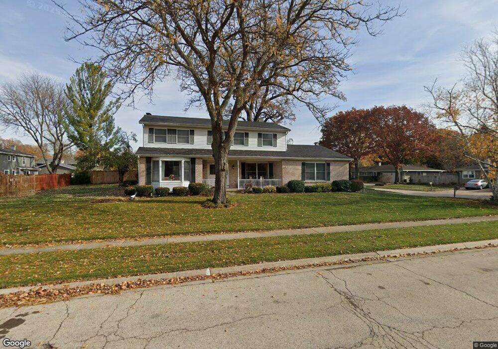
135 Brookside Dr Unit 18 Elgin, IL 60123
North Country Knolls NeighborhoodEstimated Value: $415,000 - $450,000
4
Beds
3
Baths
2,526
Sq Ft
$174/Sq Ft
Est. Value
About This Home
This home is located at 135 Brookside Dr Unit 18, Elgin, IL 60123 and is currently estimated at $438,525, approximately $173 per square foot. 135 Brookside Dr Unit 18 is a home located in Kane County with nearby schools including Hillcrest Elementary School, Kimball Middle School, and Larkin High School.
Ownership History
Date
Name
Owned For
Owner Type
Purchase Details
Closed on
Jul 19, 1996
Sold by
Crisanti Lawrence I and Crisanti Diane E
Bought by
Raap Leon H and Raap Sharon Y
Current Estimated Value
Home Financials for this Owner
Home Financials are based on the most recent Mortgage that was taken out on this home.
Original Mortgage
$140,000
Interest Rate
8.43%
Create a Home Valuation Report for This Property
The Home Valuation Report is an in-depth analysis detailing your home's value as well as a comparison with similar homes in the area
Home Values in the Area
Average Home Value in this Area
Purchase History
| Date | Buyer | Sale Price | Title Company |
|---|---|---|---|
| Raap Leon H | $175,000 | -- |
Source: Public Records
Mortgage History
| Date | Status | Borrower | Loan Amount |
|---|---|---|---|
| Closed | Raap Leon H | $140,000 |
Source: Public Records
Tax History
| Year | Tax Paid | Tax Assessment Tax Assessment Total Assessment is a certain percentage of the fair market value that is determined by local assessors to be the total taxable value of land and additions on the property. | Land | Improvement |
|---|---|---|---|---|
| 2024 | $8,713 | $124,876 | $34,395 | $90,481 |
| 2023 | $8,253 | $112,816 | $31,073 | $81,743 |
| 2022 | $7,966 | $102,868 | $28,333 | $74,535 |
| 2021 | $7,599 | $96,174 | $26,489 | $69,685 |
| 2020 | $7,370 | $91,813 | $25,288 | $66,525 |
| 2019 | $7,141 | $87,457 | $24,088 | $63,369 |
| 2018 | $6,488 | $76,622 | $22,692 | $53,930 |
| 2017 | $6,319 | $72,435 | $21,452 | $50,983 |
| 2016 | $5,994 | $67,200 | $19,902 | $47,298 |
| 2015 | -- | $61,595 | $18,242 | $43,353 |
| 2014 | -- | $60,835 | $18,017 | $42,818 |
| 2013 | -- | $62,439 | $18,492 | $43,947 |
Source: Public Records
Map
Nearby Homes
- 40 Acres Randall Rd
- 2705 Colonial Dr
- 92 N Airlite St
- 2022 Torino Dr
- 550 Madison Ln
- 512 Shenandoah Trail
- Lot 1 Highland Springs Dr
- 640 Highland Springs Dr
- 2829 Randall Ridge Dr
- 519 Shagbark Dr
- 660 Robin Ridge
- 2865 Winchester Dr
- 10N866 Hawthorne St
- 10N827 Hawthorne St
- 304 Nautical Way Unit D
- 2214 Colorado Ave Unit 4
- 11N060 Johnstown Rd
- 3032 Long Common Pkwy
- 1630 Maple Ln
- 207 Second St
- 131 Brookside Dr
- 139 Brookside Dr
- 143 Brookside Dr Unit 18
- 127 Brookside Dr
- 99 Brookside Dr
- 132 Brookside Dr
- 136 Brookside Dr
- 103 Brookside Dr
- 147 Brookside Dr
- 138 Brookside Dr Unit 18
- 100 Brookside Dr
- 107 Brookside Dr
- 156 Brookside Dr
- 123 Brookside Dr
- 151 Brookside Dr
- 98 Brookside Dr
- 91 Brookside Dr
- 175 Brookside Dr
- 171 Brookside Dr
- 174 Brookside Dr
Your Personal Tour Guide
Ask me questions while you tour the home.