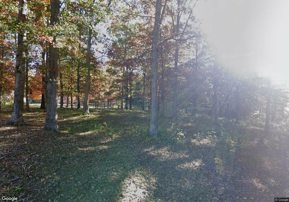
135 Broyles Cemetery Rd Jamestown, TN 38556
Estimated Value: $261,412 - $435,000
--
Bed
2
Baths
1,733
Sq Ft
$187/Sq Ft
Est. Value
About This Home
This home is located at 135 Broyles Cemetery Rd, Jamestown, TN 38556 and is currently estimated at $323,853, approximately $186 per square foot. 135 Broyles Cemetery Rd is a home located in Fentress County.
Ownership History
Date
Name
Owned For
Owner Type
Purchase Details
Closed on
May 23, 2008
Sold by
Riley Russell Rex
Bought by
Buckner Watler S
Current Estimated Value
Home Financials for this Owner
Home Financials are based on the most recent Mortgage that was taken out on this home.
Original Mortgage
$50,000
Interest Rate
6%
Mortgage Type
Cash
Purchase Details
Closed on
Jun 24, 1997
Bought by
Russell Rex
Purchase Details
Closed on
Oct 25, 1993
Bought by
Russell Grant J and Russell Neva Jean
Create a Home Valuation Report for This Property
The Home Valuation Report is an in-depth analysis detailing your home's value as well as a comparison with similar homes in the area
Home Values in the Area
Average Home Value in this Area
Purchase History
| Date | Buyer | Sale Price | Title Company |
|---|---|---|---|
| Buckner Watler S | $129,000 | -- | |
| Russell Rex | $5,000 | -- | |
| Russell Grant J | $5,000 | -- |
Source: Public Records
Mortgage History
| Date | Status | Borrower | Loan Amount |
|---|---|---|---|
| Closed | Russell Grant J | $50,000 |
Source: Public Records
Tax History Compared to Growth
Tax History
| Year | Tax Paid | Tax Assessment Tax Assessment Total Assessment is a certain percentage of the fair market value that is determined by local assessors to be the total taxable value of land and additions on the property. | Land | Improvement |
|---|---|---|---|---|
| 2025 | $634 | $46,250 | $0 | $0 |
| 2024 | $634 | $46,975 | $9,575 | $37,400 |
| 2023 | $634 | $46,975 | $9,575 | $37,400 |
| 2022 | $612 | $32,025 | $7,100 | $24,925 |
| 2021 | $612 | $32,025 | $7,100 | $24,925 |
| 2020 | $612 | $32,025 | $7,100 | $24,925 |
| 2019 | $612 | $32,025 | $7,100 | $24,925 |
| 2018 | $612 | $32,025 | $7,100 | $24,925 |
| 2017 | $597 | $30,075 | $6,700 | $23,375 |
| 2016 | $597 | $30,075 | $6,700 | $23,375 |
| 2015 | $596 | $30,060 | $0 | $0 |
| 2014 | $596 | $30,060 | $0 | $0 |
Source: Public Records
Map
Nearby Homes
- 1271 Gouldstown Rd
- 2203 Meadowview Dr
- 1112 Whispering Pine Ln
- 00 W Central Ave
- 518 Flatt Spur Rd
- 105 Charity Ln
- 0 Iroquois Dr
- n/a Iroquois Dr
- 514 Flatt Spur Rd
- 514 Flatt Spur Rd Unit A & B
- 0 Apache Rd Unit RTC2992962
- 0 Apache Rd Unit RTC2890879
- 0 Apache Rd Unit 22926394
- 0 Apache Rd Unit RTC2785312
- 103 N Duncan St
- 219 N Crabtree St
- 1 Clayburn Ave
- 0 Beaty St
- 115 Broyles Cemetery Rd
- 147 Broyles Cemetery Rd
- 0 Broyles Cemetery Rd
- 120 Broyles Cemetery Rd
- 144 Broyles Cemetery Rd
- 161 Broyles Cemetery Rd
- 118 Broyles Cemetery Rd
- 1283 Gouldstown Rd
- 100 Sam Beaty Rd
- 0 White Pine Ln
- 1247 Gouldstown Rd
- 199 Broyles Cemetery Rd
- 1282 Gouldstown Rd
- 103 White Pine Ln
- 1306 Gouldstown Rd
- 120 White Pine Ln
- 104 White Pine Ln
- 140 White Pine Ln
- 1286 Gouldstown Rd
- - White Pine Ln
