135 Castle Shore Rd Moultonborough, NH 03254
Estimated Value: $548,000 - $601,000
3
Beds
2
Baths
1,720
Sq Ft
$328/Sq Ft
Est. Value
About This Home
This home is located at 135 Castle Shore Rd, Moultonborough, NH 03254 and is currently estimated at $564,115, approximately $327 per square foot. 135 Castle Shore Rd is a home located in Carroll County with nearby schools including Moultonborough Central School and Moultonborough Academy High School.
Ownership History
Date
Name
Owned For
Owner Type
Purchase Details
Closed on
Dec 22, 2003
Sold by
Whitney Ronald N
Bought by
Masone Stephen J
Current Estimated Value
Home Financials for this Owner
Home Financials are based on the most recent Mortgage that was taken out on this home.
Original Mortgage
$228,000
Outstanding Balance
$106,241
Interest Rate
5.96%
Mortgage Type
Purchase Money Mortgage
Estimated Equity
$457,874
Create a Home Valuation Report for This Property
The Home Valuation Report is an in-depth analysis detailing your home's value as well as a comparison with similar homes in the area
Home Values in the Area
Average Home Value in this Area
Purchase History
| Date | Buyer | Sale Price | Title Company |
|---|---|---|---|
| Masone Stephen J | $285,000 | -- |
Source: Public Records
Mortgage History
| Date | Status | Borrower | Loan Amount |
|---|---|---|---|
| Open | Masone Stephen J | $228,000 |
Source: Public Records
Tax History Compared to Growth
Tax History
| Year | Tax Paid | Tax Assessment Tax Assessment Total Assessment is a certain percentage of the fair market value that is determined by local assessors to be the total taxable value of land and additions on the property. | Land | Improvement |
|---|---|---|---|---|
| 2024 | $2,400 | $424,800 | $193,300 | $231,500 |
| 2023 | $2,133 | $374,200 | $147,900 | $226,300 |
| 2022 | $1,619 | $338,600 | $133,100 | $205,500 |
| 2021 | $2,014 | $288,500 | $108,800 | $179,700 |
| 2020 | $1,853 | $259,900 | $90,700 | $169,200 |
| 2019 | $1,958 | $273,800 | $90,700 | $183,100 |
| 2018 | $2,033 | $263,400 | $83,900 | $179,500 |
| 2017 | $2,034 | $247,500 | $86,300 | $161,200 |
| 2016 | $2,147 | $245,600 | $86,300 | $159,300 |
| 2015 | $2,146 | $238,200 | $93,500 | $144,700 |
| 2014 | $2,075 | $234,200 | $100,700 | $133,500 |
| 2013 | $1,889 | $217,400 | $83,900 | $133,500 |
Source: Public Records
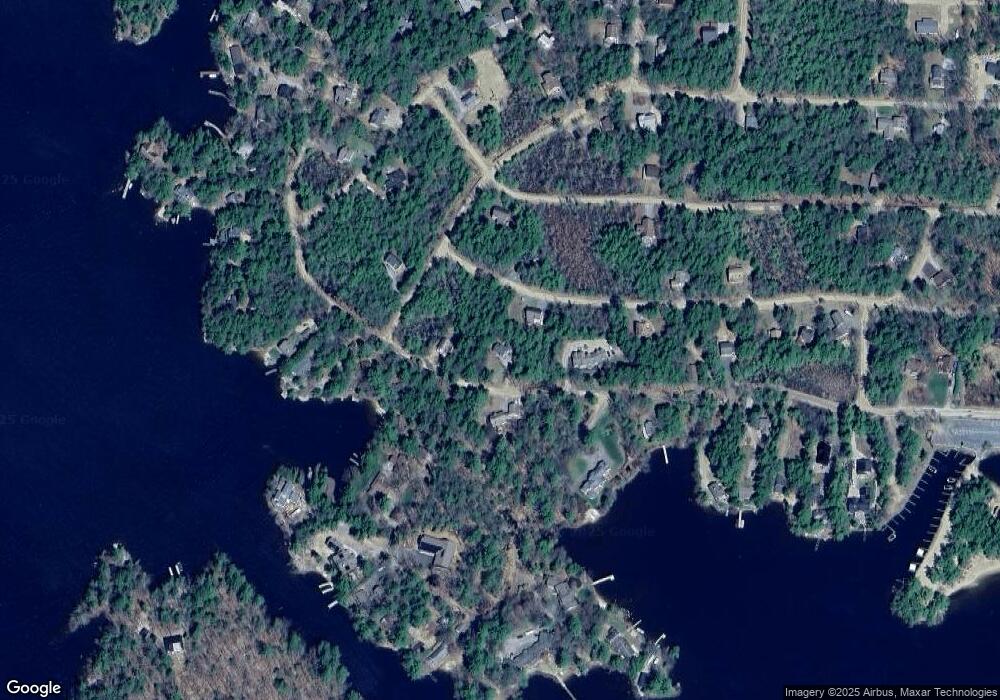
Map
Nearby Homes
- 41 Saint Gallen St
- 00 Grande St Unit 44
- 72 Sundorf St
- 00 Sundorf St Unit 117
- 22 Sundorf St
- 11 Geery Ln
- 16 Myrtle Dr
- 244 Wentworth Shores Rd
- 7 Eden Ln
- 21 Orton Ln
- 122-1 Gwh Hwy
- 0 States Landing Rd Unit 4
- 122-001-002 Governor Wentworth Hwy
- 16 Buckingham Terrace
- 27 First Point Rd
- 538 Governor Wentworth Hwy
- 2 Little Badger Island
- 122 Toltec Point Rd
- 0 Moose Walk
- 28 Moose Walk
- 127 Castle Shore Rd
- 89 Spitzen St
- 134 Castle Shore Rd
- 128 Castle Shore Rd
- 84 Spitzen St
- 149 Castle Shore Rd
- 10 Gansy Ln
- 9 Cannes St
- 6 Saint Gallen St
- 126 Castle Shore Rd
- 124 Castle Shore Rd
- 65 Spitzen St
- 66 Gansy Ln
- 150 Castle Shore Rd
- 118 Castle Shore Rd
- 12 Basel St
- 40 Saint Gallen St
- 23 Gansy Ln
- 116 Castle Shore Rd
- 62 Spitzen St