135 Clinton St Austin, MN 55912
Estimated Value: $56,000 - $110,000
2
Beds
1
Bath
1,089
Sq Ft
$88/Sq Ft
Est. Value
About This Home
This home is located at 135 Clinton St, Austin, MN 55912 and is currently estimated at $95,330, approximately $87 per square foot. 135 Clinton St is a home located in Mower County with nearby schools including Sumner Elementary School, Ellis Middle School, and I.J. Holton Intermediate School.
Ownership History
Date
Name
Owned For
Owner Type
Purchase Details
Closed on
Dec 31, 2020
Sold by
Maserus Michael
Bought by
Raven Thomas
Current Estimated Value
Purchase Details
Closed on
Aug 10, 2011
Sold by
Secretary Of Housing & Urban Development
Bought by
Majerus Michael J
Purchase Details
Closed on
Mar 30, 2011
Sold by
Minnesota Housing Finance Agency
Bought by
The Secretary Of Housing & Urban Develop
Purchase Details
Closed on
Sep 30, 2010
Sold by
Metcalf Mark A
Bought by
Minnesota Housing Finance Agency
Create a Home Valuation Report for This Property
The Home Valuation Report is an in-depth analysis detailing your home's value as well as a comparison with similar homes in the area
Home Values in the Area
Average Home Value in this Area
Purchase History
We collect this data history from publicly available records. To have your information removed, we recommend requesting removal directly through your county’s website.
| Date | Buyer | Sale Price | Title Company |
|---|---|---|---|
| Raven Thomas | $30,000 | None Available | |
| Majerus Michael J | -- | Northwest Title Agency Inc | |
| The Secretary Of Housing & Urban Develop | -- | None Available | |
| Minnesota Housing Finance Agency | $40,492 | None Available | |
| Rauen Thomas Thomas | $30,000 | -- |
Source: Public Records
Tax History
| Year | Tax Paid | Tax Assessment Tax Assessment Total Assessment is a certain percentage of the fair market value that is determined by local assessors to be the total taxable value of land and additions on the property. | Land | Improvement |
|---|---|---|---|---|
| 2025 | $718 | $58,100 | $16,000 | $42,100 |
| 2024 | $630 | $49,800 | $16,000 | $33,800 |
| 2023 | $668 | $52,400 | $16,000 | $36,400 |
| 2022 | $382 | $50,600 | $16,000 | $34,600 |
| 2021 | $360 | $36,900 | $6,900 | $30,000 |
| 2020 | $350 | $33,100 | $6,900 | $26,200 |
| 2018 | $169 | $30,800 | $6,900 | $23,900 |
| 2017 | $338 | $0 | $0 | $0 |
| 2016 | $486 | $0 | $0 | $0 |
| 2015 | $618 | $0 | $0 | $0 |
| 2012 | $618 | $0 | $0 | $0 |
Source: Public Records
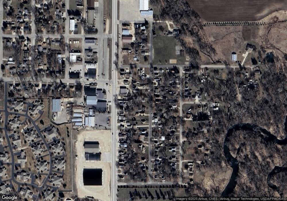
Map
Nearby Homes
- 1906 Oak Tree Ln Unit B
- 211 Clinton St
- 213 Clinton St
- 809 24th Ave NW
- 1706 2nd St NE
- 1200 18th Ave NW Unit 111
- 1200 18th Ave NW Unit 120
- 1200 18th Ave NW Unit 118
- 307 14th Place NW
- 1405 5th St NW
- 1100 9th St NW
- 1107 10th St NW
- 907 1st Dr NW
- 1408 11th Ave NW
- 800 1st Dr NW Unit 102
- 607 6th Ave NW
- 611 3rd St NW
- 1006 6th Ave NW
- 601 5th Ave NW
- 801 5th Ave NW
Your Personal Tour Guide
Ask me questions while you tour the home.