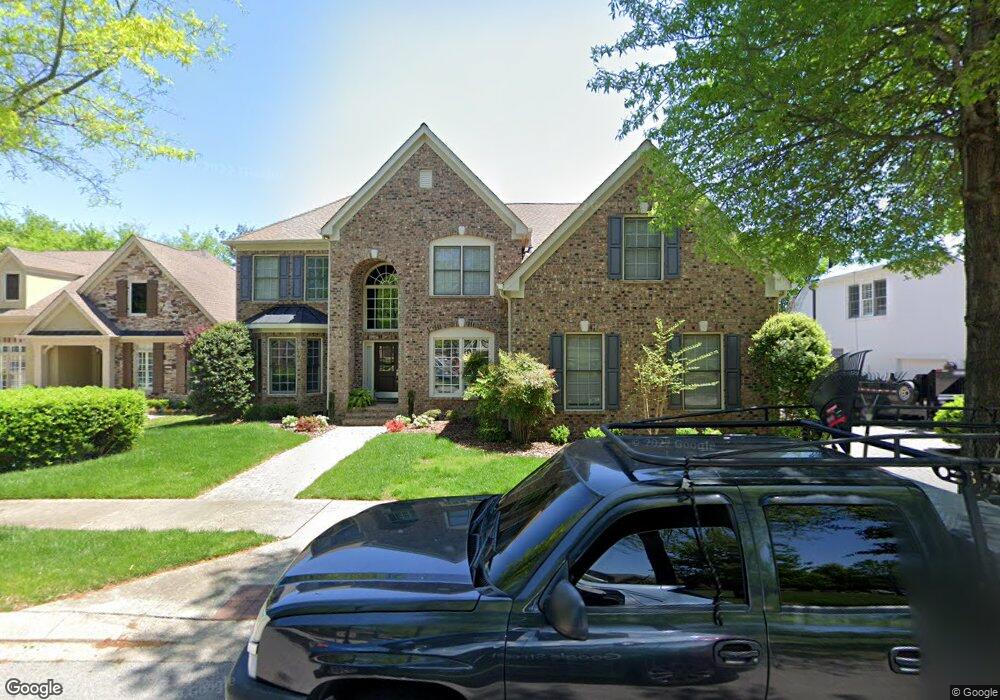
135 Cornerstone Cir Franklin, TN 37064
West Franklin NeighborhoodEstimated Value: $985,943 - $1,134,000
--
Bed
4
Baths
3,354
Sq Ft
$321/Sq Ft
Est. Value
About This Home
This home is located at 135 Cornerstone Cir, Franklin, TN 37064 and is currently estimated at $1,077,236, approximately $321 per square foot. 135 Cornerstone Cir is a home located in Williamson County with nearby schools including Walnut Grove Elementary School, Grassland Middle School, and Franklin High School.
Ownership History
Date
Name
Owned For
Owner Type
Purchase Details
Closed on
Jul 12, 2013
Sold by
Mccabe Eugene T
Bought by
Schuster Ann M and Schuster Daniel O
Current Estimated Value
Home Financials for this Owner
Home Financials are based on the most recent Mortgage that was taken out on this home.
Original Mortgage
$356,250
Outstanding Balance
$83,623
Interest Rate
3.79%
Mortgage Type
New Conventional
Estimated Equity
$993,613
Purchase Details
Closed on
Feb 28, 2006
Sold by
Turnberry Homes Llc
Bought by
Mccabe Eugene T
Home Financials for this Owner
Home Financials are based on the most recent Mortgage that was taken out on this home.
Original Mortgage
$150,000
Interest Rate
6.05%
Mortgage Type
Fannie Mae Freddie Mac
Purchase Details
Closed on
Sep 19, 2005
Sold by
Cornerstone Land Development Llc
Bought by
Turnberry Homes Llc
Create a Home Valuation Report for This Property
The Home Valuation Report is an in-depth analysis detailing your home's value as well as a comparison with similar homes in the area
Home Values in the Area
Average Home Value in this Area
Purchase History
| Date | Buyer | Sale Price | Title Company |
|---|---|---|---|
| Schuster Ann M | $475,000 | Land Title South Inc | |
| Mccabe Eugene T | $397,132 | None Available | |
| Turnberry Homes Llc | $198,900 | -- |
Source: Public Records
Mortgage History
| Date | Status | Borrower | Loan Amount |
|---|---|---|---|
| Open | Schuster Ann M | $356,250 | |
| Previous Owner | Mccabe Eugene T | $150,000 |
Source: Public Records
Tax History Compared to Growth
Tax History
| Year | Tax Paid | Tax Assessment Tax Assessment Total Assessment is a certain percentage of the fair market value that is determined by local assessors to be the total taxable value of land and additions on the property. | Land | Improvement |
|---|---|---|---|---|
| 2024 | -- | $130,675 | $32,500 | $98,175 |
| 2023 | $0 | $130,675 | $32,500 | $98,175 |
| 2022 | $2,817 | $130,675 | $32,500 | $98,175 |
| 2021 | $2,817 | $130,675 | $32,500 | $98,175 |
| 2020 | $2,954 | $114,600 | $22,500 | $92,100 |
| 2019 | $2,954 | $114,600 | $22,500 | $92,100 |
| 2018 | $2,874 | $114,600 | $22,500 | $92,100 |
| 2017 | $2,851 | $114,600 | $22,500 | $92,100 |
| 2016 | $0 | $114,600 | $22,500 | $92,100 |
| 2015 | -- | $98,775 | $20,000 | $78,775 |
| 2014 | -- | $98,775 | $20,000 | $78,775 |
Source: Public Records
Map
Nearby Homes
- 1632 Cooper Creek Ln
- 454 Cardel Ln
- 3042 Blossom Trail Ln
- 527 Antebellum Ct
- 523 Antebellum Ct
- 714 Founders Pointe Blvd
- 1802 Thornbrook Ln
- 1431 Primrose Ln
- 305 Abram Ct
- 262 Wrennewood Ln
- 264 Wrennewood Ln
- 301 Connelly Ct
- 215 Wrennewood Ln
- 226 Wrennewood Ln
- 310 Devonshire Dr
- Azalea Plan at Reese
- Jordan Plan at Reese
- 5029 Owenruth Dr
- 4076 Penfield Dr
- 5037 Owenruth Dr
- 400 Cornerstone Way
- 133 Cornerstone Cir
- 402 Cornerstone Way
- 131 Cornerstone Cir
- 209 Tyne Dr
- 207 Tyne Dr
- 137 Cornerstone Cir
- 211 Tyne Dr
- 139 Cornerstone Cir
- 213 Tyne Dr
- 205 Tyne Dr
- 127 Cornerstone Cir
- 141 Cornerstone Cir
- 206 Tyne Dr
- 215 Tyne Dr
- 125 Cornerstone Cir
- 208 Tyne Dr
- 4042 Blossom Trail Ln
- 203 Tyne Dr
- 142 Cornerstone Cir