Estimated Value: $270,000 - $358,000
--
Bed
3
Baths
2,786
Sq Ft
$111/Sq Ft
Est. Value
About This Home
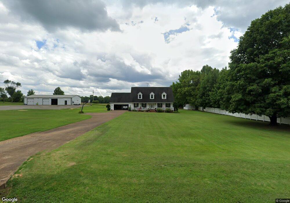
This home is located at 135 Currie Rd, Dyer, TN 38330 and is currently estimated at $307,920, approximately $110 per square foot. 135 Currie Rd is a home located in Gibson County with nearby schools including Dyer Elementary School and Gibson County High School.
Ownership History
Date
Name
Owned For
Owner Type
Purchase Details
Closed on
Apr 18, 2002
Sold by
Bank Of Dyer
Bought by
Johnson Jeffrey and Johnson Kimberly
Current Estimated Value
Home Financials for this Owner
Home Financials are based on the most recent Mortgage that was taken out on this home.
Original Mortgage
$130,000
Interest Rate
7.07%
Purchase Details
Closed on
Nov 30, 2000
Sold by
Davis Jeff
Bought by
Bank Of Dyer
Purchase Details
Closed on
Jan 24, 1996
Sold by
Wright Willie D
Bought by
Davis Jeff and Davis Barbara
Purchase Details
Closed on
Jan 1, 1984
Purchase Details
Closed on
Jan 1, 1983
Purchase Details
Closed on
Jan 20, 1978
Create a Home Valuation Report for This Property
The Home Valuation Report is an in-depth analysis detailing your home's value as well as a comparison with similar homes in the area
Home Values in the Area
Average Home Value in this Area
Purchase History
| Date | Buyer | Sale Price | Title Company |
|---|---|---|---|
| Johnson Jeffrey | $134,900 | -- | |
| Bank Of Dyer | $161,115 | -- | |
| Davis Jeff | $14,000 | -- | |
| -- | $7,300 | -- | |
| -- | $5,600 | -- | |
| -- | -- | -- |
Source: Public Records
Mortgage History
| Date | Status | Borrower | Loan Amount |
|---|---|---|---|
| Closed | Not Available | $130,000 |
Source: Public Records
Tax History Compared to Growth
Tax History
| Year | Tax Paid | Tax Assessment Tax Assessment Total Assessment is a certain percentage of the fair market value that is determined by local assessors to be the total taxable value of land and additions on the property. | Land | Improvement |
|---|---|---|---|---|
| 2024 | $1,597 | $74,425 | $4,000 | $70,425 |
| 2023 | $1,165 | $37,425 | $1,825 | $35,600 |
| 2022 | $1,138 | $37,425 | $1,825 | $35,600 |
| 2021 | $1,138 | $37,425 | $1,825 | $35,600 |
| 2020 | $1,138 | $37,425 | $1,825 | $35,600 |
| 2019 | $1,138 | $37,425 | $1,825 | $35,600 |
| 2018 | $1,203 | $38,075 | $1,825 | $36,250 |
| 2017 | $1,184 | $38,075 | $1,825 | $36,250 |
| 2016 | $1,184 | $38,075 | $1,825 | $36,250 |
| 2015 | -- | $38,075 | $1,825 | $36,250 |
| 2014 | -- | $38,075 | $1,825 | $36,250 |
Source: Public Records
Map
Nearby Homes
- 288 W Broad St
- 208 & 210 Lee St
- 246 Thomas St
- 173 Orr Rd
- 117 Washington St
- 137 W South St
- 0 Royal St
- 0 Reed Rd
- 142 S Poplar St
- 299 E Walnut St
- 205 Division St
- 00 Old Dyersburg Rd
- 0 Old Dyersburg Rd
- 354 E Maple St
- 139 Peach St
- 163 Monroe St
- 548 E College St
- 23 Gravettes Crossing Rd W
- 153 New Hope St
- 273 Fletcher Rd