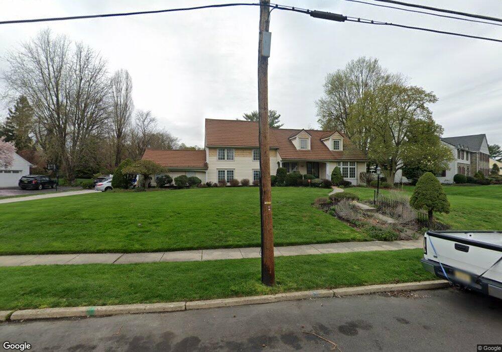
135 Forest Rd Moorestown, NJ 08057
Estimated Value: $975,621 - $1,031,000
4
Beds
4
Baths
3,537
Sq Ft
$286/Sq Ft
Est. Value
About This Home
This home is located at 135 Forest Rd, Moorestown, NJ 08057 and is currently estimated at $1,010,207, approximately $285 per square foot. 135 Forest Rd is a home located in Burlington County with nearby schools including Mary E. Roberts Elementary School, Moorestown Upper Elementary School, and William Allen Middle School.
Ownership History
Date
Name
Owned For
Owner Type
Purchase Details
Closed on
Sep 24, 2004
Sold by
Eisenberg Edwin and Eisenberg Marcia
Bought by
Sassani Paul and Sassani Melanie
Current Estimated Value
Home Financials for this Owner
Home Financials are based on the most recent Mortgage that was taken out on this home.
Original Mortgage
$25,000
Outstanding Balance
$12,534
Interest Rate
5.85%
Mortgage Type
Unknown
Estimated Equity
$997,673
Create a Home Valuation Report for This Property
The Home Valuation Report is an in-depth analysis detailing your home's value as well as a comparison with similar homes in the area
Home Values in the Area
Average Home Value in this Area
Purchase History
| Date | Buyer | Sale Price | Title Company |
|---|---|---|---|
| Sassani Paul | $600,000 | Weichert Title Agency |
Source: Public Records
Mortgage History
| Date | Status | Borrower | Loan Amount |
|---|---|---|---|
| Open | Sassani Paul | $25,000 | |
| Open | Sassani Paul | $480,000 |
Source: Public Records
Tax History
| Year | Tax Paid | Tax Assessment Tax Assessment Total Assessment is a certain percentage of the fair market value that is determined by local assessors to be the total taxable value of land and additions on the property. | Land | Improvement |
|---|---|---|---|---|
| 2025 | $14,551 | $512,900 | $182,700 | $330,200 |
| 2024 | $14,110 | $512,900 | $182,700 | $330,200 |
| 2023 | $14,110 | $512,900 | $182,700 | $330,200 |
| 2022 | $13,966 | $512,900 | $182,700 | $330,200 |
| 2021 | $13,782 | $512,900 | $182,700 | $330,200 |
| 2020 | $13,694 | $512,900 | $182,700 | $330,200 |
| 2019 | $13,453 | $512,900 | $182,700 | $330,200 |
| 2018 | $13,089 | $512,900 | $182,700 | $330,200 |
| 2017 | $13,202 | $512,900 | $182,700 | $330,200 |
| 2016 | $13,156 | $512,900 | $182,700 | $330,200 |
| 2015 | $12,997 | $512,900 | $182,700 | $330,200 |
| 2014 | $12,340 | $512,900 | $182,700 | $330,200 |
Source: Public Records
Map
Nearby Homes
- 601 Stratford Dr
- 93 Westbrook Dr
- 15 Circle Dr
- 444 Shady Ln
- 401 W 3rd St
- 307 Fairview Ave
- 206 E Camden Ave
- 111 Fellowship Rd
- 15 W Close Unit 15
- 22 E Close Unit 22
- 8 S Close Unit 8
- 149 Chalkboard Ct
- 141 Chalkboard Ct Unit 141
- 5 Vincent Way
- 27 Domenica Dr
- 129 S Church St
- 316 Farmdale Rd
- 21 N Lenola Rd
- 115 E Kings Hwy Unit 187
- 115 E Kings Hwy Unit 125
Your Personal Tour Guide
Ask me questions while you tour the home.