135 Hurt Ln Dickson, TN 37055
Estimated Value: $383,468 - $462,000
Studio
2
Baths
2,034
Sq Ft
$203/Sq Ft
Est. Value
About This Home
This home is located at 135 Hurt Ln, Dickson, TN 37055 and is currently estimated at $412,367, approximately $202 per square foot. 135 Hurt Ln is a home located in Dickson County with nearby schools including The Discovery School, Dickson Middle School, and Dickson County High School.
Ownership History
Date
Name
Owned For
Owner Type
Purchase Details
Closed on
Jun 21, 2017
Sold by
Hurt Mona Sue
Bought by
Hurt Mona Sue Trustee and Hurt Family Trust
Current Estimated Value
Purchase Details
Closed on
Dec 14, 2016
Sold by
Hurt Mona Sue
Bought by
Hurt Mona Sue and Laurance Gregory Thomas
Purchase Details
Closed on
Nov 14, 2003
Sold by
Weatherspoon James E Et
Bought by
Hurt Alan D
Home Financials for this Owner
Home Financials are based on the most recent Mortgage that was taken out on this home.
Original Mortgage
$110,400
Interest Rate
6.04%
Purchase Details
Closed on
May 27, 1980
Bought by
Weatherspoon James E
Purchase Details
Closed on
Aug 2, 1976
Create a Home Valuation Report for This Property
The Home Valuation Report is an in-depth analysis detailing your home's value as well as a comparison with similar homes in the area
Home Values in the Area
Average Home Value in this Area
Purchase History
| Date | Buyer | Sale Price | Title Company |
|---|---|---|---|
| Hurt Mona Sue Trustee | -- | -- | |
| Hurt Mona Sue | -- | -- | |
| Hurt Alan D | $138,000 | -- | |
| Weatherspoon James E | -- | -- | |
| -- | -- | -- |
Source: Public Records
Mortgage History
| Date | Status | Borrower | Loan Amount |
|---|---|---|---|
| Previous Owner | Not Available | $110,400 |
Source: Public Records
Tax History
| Year | Tax Paid | Tax Assessment Tax Assessment Total Assessment is a certain percentage of the fair market value that is determined by local assessors to be the total taxable value of land and additions on the property. | Land | Improvement |
|---|---|---|---|---|
| 2025 | -- | $81,825 | $25,300 | $56,525 |
| 2024 | -- | $81,825 | $25,300 | $56,525 |
| 2023 | $1,682 | $53,850 | $12,475 | $41,375 |
| 2022 | $1,682 | $53,850 | $12,475 | $41,375 |
| 2021 | $1,682 | $53,850 | $12,475 | $41,375 |
| 2020 | $1,682 | $53,850 | $12,475 | $41,375 |
| 2019 | $1,682 | $53,850 | $12,475 | $41,375 |
| 2018 | $1,395 | $38,225 | $12,150 | $26,075 |
| 2017 | $1,395 | $38,225 | $12,150 | $26,075 |
| 2016 | $1,395 | $38,225 | $12,150 | $26,075 |
| 2015 | $1,321 | $34,050 | $12,150 | $21,900 |
| 2014 | $1,321 | $34,050 | $12,150 | $21,900 |
Source: Public Records
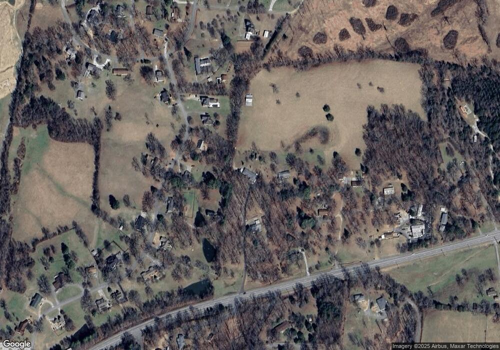
Map
Nearby Homes
- 2054 Ridgecrest Cir
- 0 Ridgecrest Dr Unit 1
- 0 Ridgecrest Dr
- 0 Ridgecrest Dr Unit 4
- 0 Ridgecrest Dr Unit 5
- 0 Ridgecrest Dr Unit 2
- 1021 Woodmont Dr
- 1022 Belmont Dr
- 245 Pate Ln
- 0 Buddy Rd Unit RTC3058739
- 115 Rae Ln
- 108 Eastwood Dr
- 145 Bishop Ln
- 555 Buddy Rd
- 1 Myatt Loop
- 1222 Rock Church Rd
- 112 Florence Cove
- 107 Florence Cove
- 108 Florence Cove
- 105 Florence Cove
- 1028 Ridgecrest Dr
- 2743 Highway 70 E
- 1024 Ridgecrest Dr
- 1030 Ridgecrest Dr
- 2759 Highway 70 E
- 1032 Ridgecrest Dr
- 1020 Ridgecrest Dr
- 2761 Highway 70 E
- 1025 Ridgecrest Dr
- 2755 Highway 70 E
- 1018 Ridgecrest Dr
- 2741 Highway 70 E
- 1035 Ridgecrest Dr
- 1019 Ridgecrest Dr
- 1036 Ridgecrest Dr
- 0W Highway 70 Unit W
- 70 N of Hwy
- 1037 Ridgecrest Dr
- 1016 Ridgecrest Dr
- 120 Minorcrest Dr
Your Personal Tour Guide
Ask me questions while you tour the home.