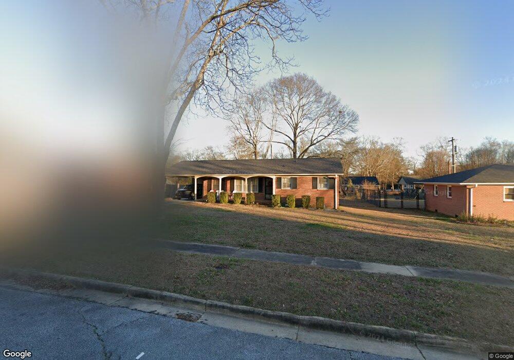
135 Lanier St Spartanburg, SC 29303
Cleveland Park NeighborhoodEstimated Value: $99,000 - $193,000
2
Beds
2
Baths
1,128
Sq Ft
$136/Sq Ft
Est. Value
About This Home
This home is located at 135 Lanier St, Spartanburg, SC 29303 and is currently estimated at $153,061, approximately $135 per square foot. 135 Lanier St is a home located in Spartanburg County with nearby schools including Spartanburg High School, First Baptist Weekday Preschool, and St. Paul The Apostle Catholic School.
Ownership History
Date
Name
Owned For
Owner Type
Purchase Details
Closed on
Mar 1, 2021
Sold by
Pitts Nelson
Bought by
Petty Jacqueline A
Current Estimated Value
Home Financials for this Owner
Home Financials are based on the most recent Mortgage that was taken out on this home.
Original Mortgage
$81,800
Outstanding Balance
$75,234
Interest Rate
4.5%
Mortgage Type
New Conventional
Estimated Equity
$77,827
Purchase Details
Closed on
Jun 21, 2011
Sold by
Estate Of Lester E Pitts and Pitts Nelson
Bought by
Pitts Nelson
Create a Home Valuation Report for This Property
The Home Valuation Report is an in-depth analysis detailing your home's value as well as a comparison with similar homes in the area
Home Values in the Area
Average Home Value in this Area
Purchase History
| Date | Buyer | Sale Price | Title Company |
|---|---|---|---|
| Petty Jacqueline A | $80,000 | None Available | |
| Pitts Nelson | -- | -- |
Source: Public Records
Mortgage History
| Date | Status | Borrower | Loan Amount |
|---|---|---|---|
| Open | Petty Jacqueline A | $81,800 |
Source: Public Records
Tax History Compared to Growth
Tax History
| Year | Tax Paid | Tax Assessment Tax Assessment Total Assessment is a certain percentage of the fair market value that is determined by local assessors to be the total taxable value of land and additions on the property. | Land | Improvement |
|---|---|---|---|---|
| 2025 | $896 | $3,680 | $635 | $3,045 |
| 2024 | $896 | $3,680 | $635 | $3,045 |
| 2023 | $896 | $3,680 | $635 | $3,045 |
| 2022 | $768 | $3,200 | $600 | $2,600 |
| 2021 | $889 | $3,200 | $600 | $2,600 |
| 2020 | $2,534 | $5,628 | $900 | $4,728 |
| 2019 | $2,534 | $5,628 | $900 | $4,728 |
| 2018 | $2,534 | $5,628 | $900 | $4,728 |
| 2017 | $2,251 | $4,956 | $900 | $4,056 |
| 2016 | $2,275 | $4,956 | $900 | $4,056 |
| 2015 | $2,172 | $4,956 | $900 | $4,056 |
| 2014 | $2,165 | $4,956 | $900 | $4,056 |
Source: Public Records
Map
Nearby Homes
- 125 Scruggs Ave
- 112 Scruggs Ave
- 99 Allen Ave
- 140 Huxley St
- 512 El Paso St
- 2025 Howard St
- 131 S Cleveland Park Dr
- 795 Howard St
- 538 Alamo St
- 9 Jordan St
- 275 W Wood St
- 2 Robinsview Ln
- 539 Houston St
- 3 Robinsview Ln
- 850 Melton Ave
- 688 Saxon Ave
- 1110 Hayne St
- 105 Williams St
- 120 Rosetta Ct
- 342 Watkins St