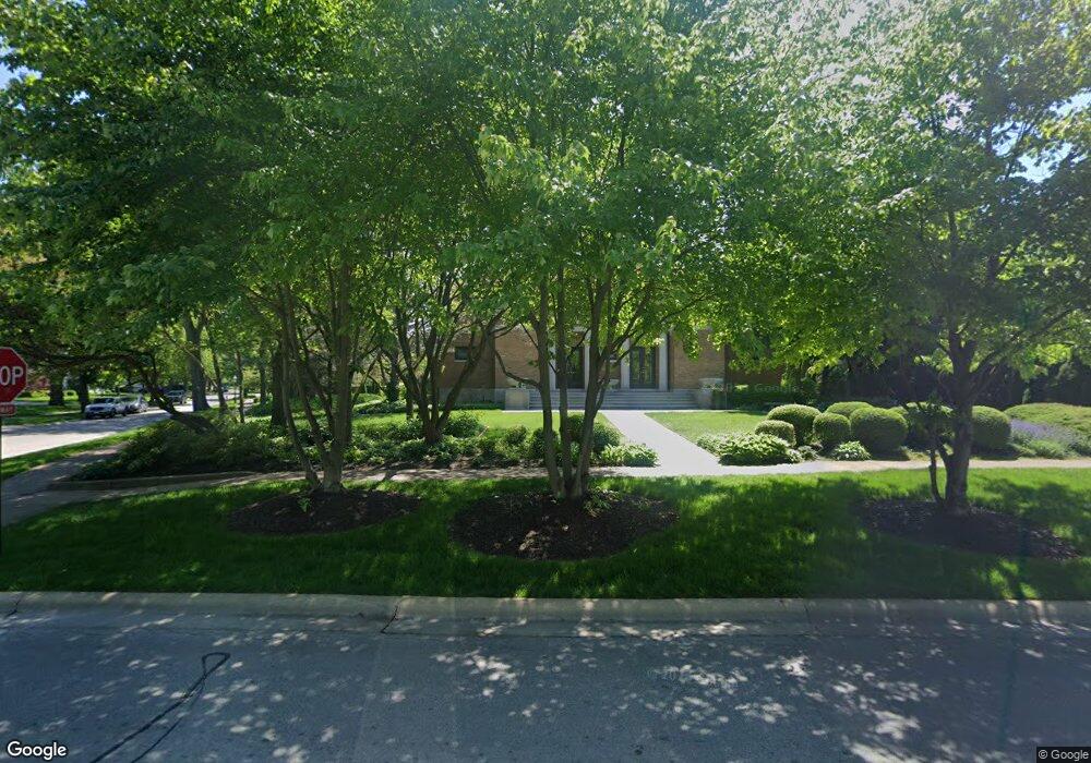
135 Longcommon Rd Riverside, IL 60546
Estimated Value: $814,000 - $1,866,000
6
Beds
3
Baths
8,496
Sq Ft
$146/Sq Ft
Est. Value
About This Home
This home is located at 135 Longcommon Rd, Riverside, IL 60546 and is currently estimated at $1,241,714, approximately $146 per square foot. 135 Longcommon Rd is a home located in Cook County with nearby schools including Central Elementary School, L J Hauser Jr High School, and Riverside Brookfield High School.
Ownership History
Date
Name
Owned For
Owner Type
Purchase Details
Closed on
Mar 18, 1997
Sold by
Papalia Louis and Papalia Karen
Bought by
The Northern Trust Company and Trust #9403
Current Estimated Value
Home Financials for this Owner
Home Financials are based on the most recent Mortgage that was taken out on this home.
Original Mortgage
$500,000
Interest Rate
7.95%
Mortgage Type
Balloon
Purchase Details
Closed on
Mar 17, 1997
Sold by
Papalia Louis and Papalia Karen
Bought by
The Northern Trust Company and Trust #9403
Home Financials for this Owner
Home Financials are based on the most recent Mortgage that was taken out on this home.
Original Mortgage
$500,000
Interest Rate
7.95%
Mortgage Type
Balloon
Create a Home Valuation Report for This Property
The Home Valuation Report is an in-depth analysis detailing your home's value as well as a comparison with similar homes in the area
Home Values in the Area
Average Home Value in this Area
Purchase History
| Date | Buyer | Sale Price | Title Company |
|---|---|---|---|
| The Northern Trust Company | $842,500 | Centennial Title Incorporate | |
| The Northern Trust Company | $842,500 | Centennial Title Incorporate |
Source: Public Records
Mortgage History
| Date | Status | Borrower | Loan Amount |
|---|---|---|---|
| Previous Owner | The Northern Trust Company | $500,000 |
Source: Public Records
Tax History
| Year | Tax Paid | Tax Assessment Tax Assessment Total Assessment is a certain percentage of the fair market value that is determined by local assessors to be the total taxable value of land and additions on the property. | Land | Improvement |
|---|---|---|---|---|
| 2025 | $31,890 | $103,000 | $20,734 | $82,266 |
| 2024 | $31,890 | $103,000 | $20,734 | $82,266 |
| 2023 | $43,385 | $103,000 | $20,734 | $82,266 |
| 2022 | $43,385 | $116,690 | $17,907 | $98,783 |
| 2021 | $41,720 | $116,688 | $17,906 | $98,782 |
| 2020 | $40,436 | $116,688 | $17,906 | $98,782 |
| 2019 | $42,720 | $124,806 | $16,492 | $108,314 |
| 2018 | $41,463 | $124,806 | $16,492 | $108,314 |
| 2017 | $41,254 | $124,806 | $16,492 | $108,314 |
| 2016 | $38,042 | $108,022 | $14,136 | $93,886 |
| 2015 | $37,171 | $108,022 | $14,136 | $93,886 |
| 2014 | $35,665 | $108,022 | $14,136 | $93,886 |
| 2013 | $38,476 | $125,960 | $14,136 | $111,824 |
Source: Public Records
Map
Nearby Homes
- 108 E Burlington St Unit B
- 10 E Burlington St Unit 2C
- 10 E Burlington St Unit 2B
- 269 Shenstone Rd
- 231 Bartram Rd
- 78 Pine Ave
- 220 Maplewood Rd
- 236 Maplewood Rd
- 305 Desplaines Ave
- 315 Bartram Rd
- 369 Addison Rd
- 176 Riverside Rd
- 101 Southcote Rd
- 8117 W 30th St
- 280 Blackhawk Rd
- 367 Bartram Rd
- 410 Repton Rd
- 262 Lionel Rd
- 303 Lionel Rd
- 475 Shenstone Rd Unit 104
- 131 Longcommon Rd
- 111 Longcommon Rd
- 155 Addison Rd
- 159 Addison Rd
- 149 Longcommon Rd
- 163 Addison Rd
- 140 Herrick Rd
- 150 Addison Rd
- 134 Herrick Rd
- 157 Longcommon Rd
- 156 Addison Rd
- 150 Herrick Rd
- 175 Addison Rd
- 165 Longcommon Rd
- 130 Nuttall Rd
- 168 Addison Rd
- 122 Nuttall Rd
- 183 Addison Rd
- 116 Nuttall Rd
- 56 N Cowley Rd
Your Personal Tour Guide
Ask me questions while you tour the home.