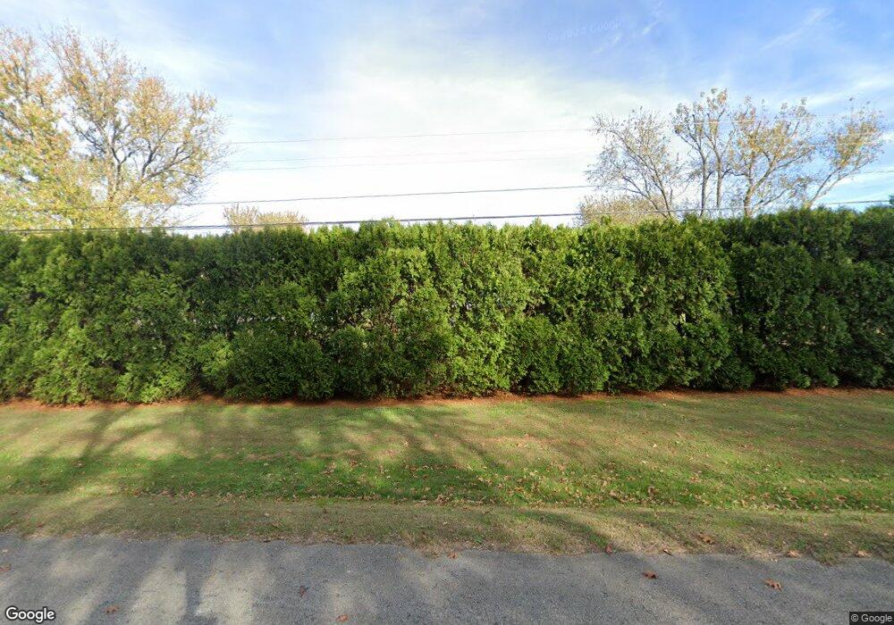
135 Main St Huntland, TN 37345
Estimated Value: $335,000 - $619,000
--
Bed
3
Baths
2,567
Sq Ft
$192/Sq Ft
Est. Value
About This Home
This home is located at 135 Main St, Huntland, TN 37345 and is currently estimated at $494,059, approximately $192 per square foot. 135 Main St is a home located in Franklin County with nearby schools including Huntland School.
Ownership History
Date
Name
Owned For
Owner Type
Purchase Details
Closed on
Aug 2, 2002
Sold by
Webb Nonie
Bought by
Vernon Timothy
Current Estimated Value
Home Financials for this Owner
Home Financials are based on the most recent Mortgage that was taken out on this home.
Original Mortgage
$198,000
Outstanding Balance
$83,604
Interest Rate
6.52%
Estimated Equity
$410,455
Purchase Details
Closed on
Mar 2, 1999
Sold by
Stewman June
Bought by
Webb Nonie and Webb Debra E
Purchase Details
Closed on
Oct 22, 1998
Sold by
Smith Cathy Ann
Bought by
Stewman June
Purchase Details
Closed on
Feb 2, 1965
Bought by
Stewman June
Purchase Details
Closed on
Jan 2, 1900
Create a Home Valuation Report for This Property
The Home Valuation Report is an in-depth analysis detailing your home's value as well as a comparison with similar homes in the area
Home Values in the Area
Average Home Value in this Area
Purchase History
| Date | Buyer | Sale Price | Title Company |
|---|---|---|---|
| Vernon Timothy | $198,000 | -- | |
| Webb Nonie | $129,000 | -- | |
| Stewman June | $140,000 | -- | |
| Stewman June | -- | -- | |
| -- | -- | -- |
Source: Public Records
Mortgage History
| Date | Status | Borrower | Loan Amount |
|---|---|---|---|
| Open | Not Available | $198,000 |
Source: Public Records
Tax History Compared to Growth
Tax History
| Year | Tax Paid | Tax Assessment Tax Assessment Total Assessment is a certain percentage of the fair market value that is determined by local assessors to be the total taxable value of land and additions on the property. | Land | Improvement |
|---|---|---|---|---|
| 2024 | $3,750 | $129,600 | $13,250 | $116,350 |
| 2023 | $3,750 | $129,600 | $13,250 | $116,350 |
| 2022 | $2,867 | $104,500 | $13,250 | $91,250 |
| 2021 | $1,770 | $104,500 | $13,250 | $91,250 |
| 2020 | $2,596 | $63,100 | $8,325 | $54,775 |
| 2019 | $2,596 | $63,100 | $8,325 | $54,775 |
| 2018 | $2,466 | $63,100 | $8,325 | $54,775 |
| 2017 | $2,466 | $63,100 | $8,325 | $54,775 |
| 2016 | $2,306 | $58,075 | $8,325 | $49,750 |
| 2015 | $2,305 | $58,075 | $8,325 | $49,750 |
| 2014 | $2,305 | $58,067 | $0 | $0 |
Source: Public Records
Map
Nearby Homes
- 107 Hickory Dr
- 117 Bruce St
- 103 Cedar St
- 243 Main St
- 230 Lee Ln
- 0 Main St
- 0 Main St
- 10.23 Main St
- 646 Indian Creek Rd
- 246 Indian Creek Rd
- 878 Indian Creek Rd
- 0 John Hunter Hwy
- 1225 Collins Ln
- 0 Francisco Rd
- 2160 Francisco Rd
- 100 Stovall Dr
- 1689 Pleasant Ridge Rd
- 0 Pleasant Ridge Rd Unit RTC2790030
- 58 Campbell Ln
- 0 Indian Creek Dr
- 161 Main St
- 165 Main St
- 164 Main St
- 0 MacKenzie Circle Lot 5 Unit RTC1752480
- 171 Main St
- 170 Main St
- 14341 David Crockett Pkwy W
- 14341 David Crockett Pkwy W
- 109 Dogwood Dr
- 177 Main St
- 9 Robinson Rd
- 126 Dogwood Dr
- 117 Dogwood Dr
- 302 Poplar Ave
- 183 Main St
- 182 Main St
- 125 Dogwood Dr
- 0 Mackenzie Cir Unit 5 1752480
- 0 MacKenzie Circle Lot 4 Unit RTC1752478
- 104 Hickory Dr
