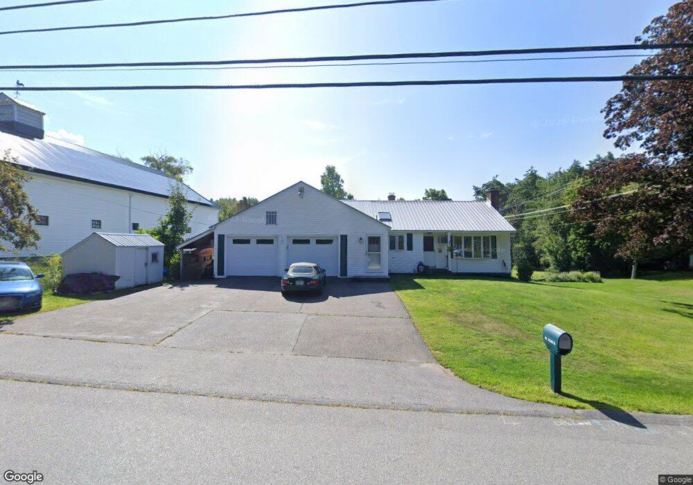
135 Morrill St Gilford, NH 03249
Estimated Value: $501,000 - $572,000
3
Beds
3
Baths
2,248
Sq Ft
$237/Sq Ft
Est. Value
About This Home
This home is located at 135 Morrill St, Gilford, NH 03249 and is currently estimated at $532,643, approximately $236 per square foot. 135 Morrill St is a home located in Belknap County with nearby schools including Gilford Elementary School, Gilford Middle School, and Gilford High School.
Ownership History
Date
Name
Owned For
Owner Type
Purchase Details
Closed on
Mar 22, 2022
Sold by
Brulotte Edmund and Brulotte Wendy L
Bought by
E & W Brulotte 2022 Ret
Current Estimated Value
Purchase Details
Closed on
Jun 19, 1998
Sold by
Stjacques Ernest O
Bought by
Brulotte Edmund A and Brulotte Wendy L
Home Financials for this Owner
Home Financials are based on the most recent Mortgage that was taken out on this home.
Original Mortgage
$99,200
Interest Rate
7.09%
Create a Home Valuation Report for This Property
The Home Valuation Report is an in-depth analysis detailing your home's value as well as a comparison with similar homes in the area
Home Values in the Area
Average Home Value in this Area
Purchase History
| Date | Buyer | Sale Price | Title Company |
|---|---|---|---|
| E & W Brulotte 2022 Ret | -- | None Available | |
| Brulotte Edmund A | $102,000 | -- |
Source: Public Records
Mortgage History
| Date | Status | Borrower | Loan Amount |
|---|---|---|---|
| Previous Owner | Brulotte Edmund A | $113,000 | |
| Previous Owner | Brulotte Edmund A | $25,000 | |
| Previous Owner | Brulotte Edmund A | $99,200 |
Source: Public Records
Tax History Compared to Growth
Tax History
| Year | Tax Paid | Tax Assessment Tax Assessment Total Assessment is a certain percentage of the fair market value that is determined by local assessors to be the total taxable value of land and additions on the property. | Land | Improvement |
|---|---|---|---|---|
| 2024 | $4,799 | $426,570 | $109,270 | $317,300 |
| 2023 | $4,394 | $426,570 | $109,270 | $317,300 |
| 2022 | $3,969 | $324,010 | $72,410 | $251,600 |
| 2021 | $3,979 | $324,010 | $72,410 | $251,600 |
| 2020 | $4,214 | $280,360 | $67,660 | $212,700 |
| 2019 | $4,030 | $254,110 | $39,110 | $215,000 |
| 2018 | $3,821 | $224,210 | $45,110 | $179,100 |
| 2017 | $3,818 | $221,210 | $45,110 | $176,100 |
| 2016 | $3,806 | $212,010 | $45,110 | $166,900 |
| 2015 | $3,706 | $206,210 | $43,510 | $162,700 |
| 2011 | $3,518 | $189,660 | $48,060 | $141,600 |
Source: Public Records
Map
Nearby Homes
- 74 Morrill St
- 0 Sanborn St Unit 8 5059863
- 47 Woodland Ave
- 162 Gilford Ave
- 239 Gilford Ave
- 7 Countryside Dr
- Lot 1 Winter St
- 6 Colonial Dr
- 468 Union Ave
- 521 Union Ave
- 56 Fairview St
- 84 Spring St
- 44 Highland St
- 122 Valley St
- 45 Lafayette St
- 66 Lyford St
- 17 Arch St
- 30 Messer St
- 106 Valley St
- 42 Beaman St