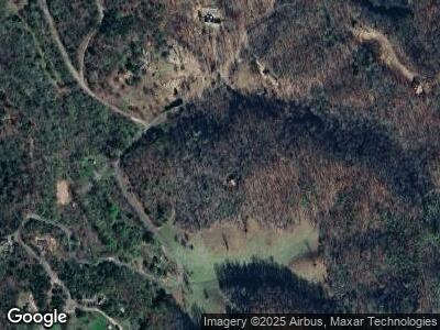
135 Mowery Ln Marble, NC 28905
Estimated Value: $304,000 - $407,000
3
Beds
2
Baths
1,620
Sq Ft
$211/Sq Ft
Est. Value
About This Home
This home is located at 135 Mowery Ln, Marble, NC 28905 and is currently estimated at $341,863, approximately $211 per square foot. 135 Mowery Ln is a home with nearby schools including Peachtree Elementary School, Murphy Middle School, and Murphy High School.
Ownership History
Date
Name
Owned For
Owner Type
Purchase Details
Closed on
Apr 9, 2011
Sold by
Murray Doreen and Paquette Shannon
Bought by
Harmon Troyce and Harmon Kerrie
Current Estimated Value
Home Financials for this Owner
Home Financials are based on the most recent Mortgage that was taken out on this home.
Original Mortgage
$82,000
Outstanding Balance
$57,891
Interest Rate
4.92%
Mortgage Type
New Conventional
Estimated Equity
$283,972
Purchase Details
Closed on
Jul 28, 2008
Sold by
Murray Doreen R
Bought by
Flanigan Shannon Elizabeth and Murray Doreen R
Create a Home Valuation Report for This Property
The Home Valuation Report is an in-depth analysis detailing your home's value as well as a comparison with similar homes in the area
Home Values in the Area
Average Home Value in this Area
Purchase History
| Date | Buyer | Sale Price | Title Company |
|---|---|---|---|
| Harmon Troyce | $132,000 | None Available | |
| Flanigan Shannon Elizabeth | -- | -- |
Source: Public Records
Mortgage History
| Date | Status | Borrower | Loan Amount |
|---|---|---|---|
| Open | Harmon Troyce | $82,000 |
Source: Public Records
Tax History Compared to Growth
Tax History
| Year | Tax Paid | Tax Assessment Tax Assessment Total Assessment is a certain percentage of the fair market value that is determined by local assessors to be the total taxable value of land and additions on the property. | Land | Improvement |
|---|---|---|---|---|
| 2024 | $1,367 | $183,170 | $0 | $0 |
| 2023 | $1,311 | $183,170 | $0 | $0 |
| 2022 | $1,311 | $183,170 | $0 | $0 |
| 2021 | $1,110 | $183,170 | $45,900 | $137,270 |
| 2020 | $1,018 | $183,170 | $0 | $0 |
| 2019 | $1,041 | $166,330 | $0 | $0 |
| 2018 | $1,041 | $166,330 | $0 | $0 |
| 2017 | $1,041 | $166,330 | $0 | $0 |
| 2016 | $1,041 | $166,330 | $0 | $0 |
| 2015 | $1,041 | $166,330 | $45,600 | $120,730 |
| 2012 | -- | $166,330 | $45,600 | $120,730 |
Source: Public Records
Map
Nearby Homes
- 1311 Daylily Dr
- Lot 88 Daylily Dr
- TBD Turkey Walk Dr
- Lt 75E&F Turkey Walk Dr
- Lot 16 Paradise Mountain
- Lot 13 Paradise Mountain
- Lot 15 Paradise Mountain
- Lot 12 Paradise Mountain
- Lot 11 Paradise Mountain
- 00 Heaton Rd
- 21 Stalcup Ln
- 0 Long Branch Rd
- 124 Bradford Dr
- 667 Jasmine Dr
- 55 Bluejay Ln
- Lot 9 Paradise Mountain
- Lot 7 Paradise Mountain
- Lot 5& 6 Jasmine Dr
- 85 Autumn Branch Ln
- Lot 43 Silo View Rd
- 135 Mowery Ln
- 1813 Daylily Dr
- 1843 Daylily Dr Unit 42-M
- 1843 Daylily Dr
- 0 Daylily Dr Unit 22108
- 0 Dylil;y Dr
- Lot 94 Daylilly Dr
- 00 Daylilly Dr
- 21 Black Walnut Ln
- 1282 Daylily Dr
- 89 Black Walnut Ln
- 2062 Daylily Dr
- 2072 Daylily Dr
- 2072 Daylily Dr
- 1255 Daylily Dr
- Lot 1 Daylilly Dr
- 777 Airport Rd
- 90 Brown Ln
- 1169 Daylily Dr
- 1169 Daylily Dr
