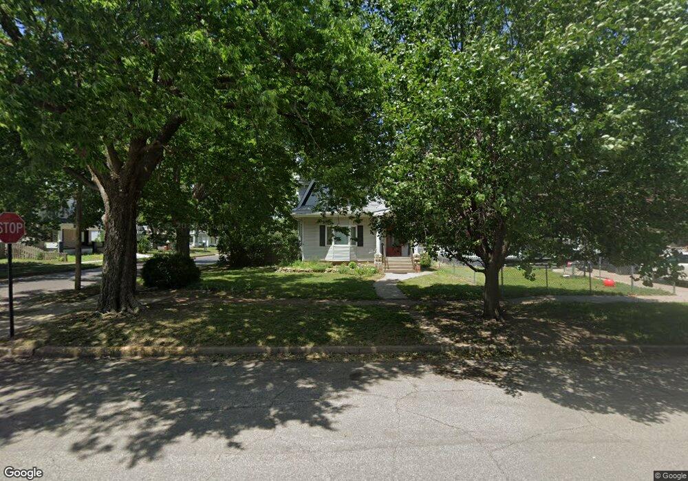
135 N 10th St Salina, KS 67401
Estimated Value: $140,000 - $190,000
3
Beds
2
Baths
2,358
Sq Ft
$67/Sq Ft
Est. Value
About This Home
This home is located at 135 N 10th St, Salina, KS 67401 and is currently estimated at $158,243, approximately $67 per square foot. 135 N 10th St is a home located in Saline County with nearby schools including Cottonwood Elementary School, Lakewood Middle School, and Salina High School Central.
Ownership History
Date
Name
Owned For
Owner Type
Purchase Details
Closed on
Aug 15, 2025
Sold by
Marie E Robinson Trust and Robinson Marie E
Bought by
Marie E Robinson Trust and Newell
Current Estimated Value
Purchase Details
Closed on
Jul 12, 2024
Sold by
Marie E Robinson Trust and Robinson Marie E
Bought by
Robinson Marie E
Create a Home Valuation Report for This Property
The Home Valuation Report is an in-depth analysis detailing your home's value as well as a comparison with similar homes in the area
Home Values in the Area
Average Home Value in this Area
Purchase History
| Date | Buyer | Sale Price | Title Company |
|---|---|---|---|
| Marie E Robinson Trust | -- | Land Title | |
| Marie E Robinson Trust | -- | Land Title | |
| Robinson Marie E | -- | Land Title |
Source: Public Records
Tax History Compared to Growth
Tax History
| Year | Tax Paid | Tax Assessment Tax Assessment Total Assessment is a certain percentage of the fair market value that is determined by local assessors to be the total taxable value of land and additions on the property. | Land | Improvement |
|---|---|---|---|---|
| 2025 | $1,513 | $12,650 | $1,179 | $11,471 |
| 2024 | $1,513 | $12,110 | $1,110 | $11,000 |
| 2023 | $1,513 | $12,385 | $1,176 | $11,209 |
| 2022 | $1,603 | $12,489 | $1,380 | $11,109 |
| 2021 | $1,669 | $12,363 | $911 | $11,452 |
| 2020 | $2,115 | $15,398 | $883 | $14,515 |
| 2019 | $1,861 | $14,950 | $524 | $14,426 |
| 2018 | $1,628 | $12,100 | $524 | $11,576 |
| 2017 | $0 | $13,521 | $524 | $12,997 |
| 2016 | $0 | $13,305 | $524 | $12,781 |
| 2015 | -- | $12,713 | $524 | $12,189 |
| 2013 | -- | $0 | $0 | $0 |
Source: Public Records
Map
Nearby Homes
- 507 Park St
- 610 State St
- 152 S 10th St
- 600 W Walnut St
- 158 S 10th St
- 604 W Walnut St
- 408 W Walnut St
- 110 N College Ave
- B1 L3 Cedar Point Place
- B1 L13 Cedar Point Place
- B1 L12 Cedar Point Place
- B1 L4 Cedar Point Place
- B1 L2 Cedar Point Place
- B1 L1 Cedar Point Place
- 324 Baker St
- 335 Baker St
- 141 S Chicago St
- 401 S 10th St
- 121 N Front St
- 214 S Clark St