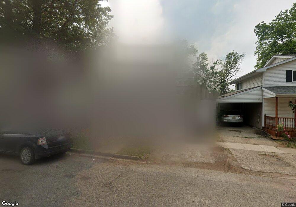
135 N River Update, MI 48827
Estimated Value: $90,743 - $198,000
2
Beds
1
Bath
792
Sq Ft
$162/Sq Ft
Est. Value
About This Home
This home is located at 135 N River, Update, MI 48827 and is currently estimated at $128,186, approximately $161 per square foot. 135 N River is a home located in Eaton County with nearby schools including Lockwood Elementary School, Greyhound Intermediate School, and Eaton Rapids Middle School.
Ownership History
Date
Name
Owned For
Owner Type
Purchase Details
Closed on
Dec 17, 2013
Sold by
Hanks H Terry
Bought by
Hanks H Terry and H Terry Hanks Living Trust
Current Estimated Value
Purchase Details
Closed on
Mar 29, 2007
Sold by
Frey Mary L
Bought by
Wells Fargo Bank Na and National City Mortgage Loan Trust 2005-1
Purchase Details
Closed on
Mar 23, 2005
Sold by
Chase Home Finance Llc
Bought by
Frey Mary L
Home Financials for this Owner
Home Financials are based on the most recent Mortgage that was taken out on this home.
Original Mortgage
$57,600
Interest Rate
6.87%
Mortgage Type
Stand Alone First
Purchase Details
Closed on
Dec 11, 2003
Sold by
Laclear Elmer and Laclear Jenny
Bought by
Chase Manhattan Mortgage Corp
Create a Home Valuation Report for This Property
The Home Valuation Report is an in-depth analysis detailing your home's value as well as a comparison with similar homes in the area
Home Values in the Area
Average Home Value in this Area
Purchase History
| Date | Buyer | Sale Price | Title Company |
|---|---|---|---|
| Hanks H Terry | -- | None Available | |
| Wells Fargo Bank Na | $53,331 | None Available | |
| Frey Mary L | $72,000 | Trans | |
| Chase Manhattan Mortgage Corp | $68,000 | -- |
Source: Public Records
Mortgage History
| Date | Status | Borrower | Loan Amount |
|---|---|---|---|
| Previous Owner | Frey Mary L | $57,600 | |
| Closed | Frey Mary L | $14,400 |
Source: Public Records
Tax History Compared to Growth
Tax History
| Year | Tax Paid | Tax Assessment Tax Assessment Total Assessment is a certain percentage of the fair market value that is determined by local assessors to be the total taxable value of land and additions on the property. | Land | Improvement |
|---|---|---|---|---|
| 2025 | $1,245 | $34,100 | $0 | $0 |
| 2024 | $799 | $31,500 | $0 | $0 |
| 2023 | $795 | $28,600 | $0 | $0 |
| 2022 | $1,182 | $22,900 | $0 | $0 |
| 2021 | $1,141 | $19,100 | $0 | $0 |
| 2020 | $1,129 | $18,600 | $0 | $0 |
| 2019 | $1,516 | $25,304 | $0 | $0 |
| 2018 | $1,481 | $26,676 | $0 | $0 |
| 2017 | $1,427 | $25,650 | $0 | $0 |
| 2016 | -- | $24,300 | $0 | $0 |
| 2015 | -- | $23,600 | $0 | $0 |
| 2014 | -- | $23,150 | $0 | $0 |
| 2013 | -- | $23,000 | $0 | $0 |
Source: Public Records
Map
Nearby Homes
- 210 Diana St
- 215 E Knight St
- 101 S East St
- 108 Division St
- 100 S Center St
- 220 S River St
- 220 Dexter Rd
- 518 Clark St
- 329 W Knight St
- 208 Dutton St
- 502 S East St
- 502 S Main St
- 500 King St
- 201 W Broad St
- V/L Chester St
- 5895 Plains Rd
- 716 Cumberland Dr
- 618 St Andrews Dr
- 601 Muirfield Dr
- 618 Saint Andrews Dr