135 Queens Brook Rd Pembroke, MA 02359
Estimated Value: $598,000 - $672,000
3
Beds
2
Baths
1,130
Sq Ft
$562/Sq Ft
Est. Value
About This Home
This home is located at 135 Queens Brook Rd, Pembroke, MA 02359 and is currently estimated at $635,434, approximately $562 per square foot. 135 Queens Brook Rd is a home located in Plymouth County with nearby schools including Pembroke High School.
Ownership History
Date
Name
Owned For
Owner Type
Purchase Details
Closed on
Feb 27, 1991
Sold by
Sugrue John J and Sugrue Barbara L
Bought by
Zadrozny Richard P and Zadrozny Lisa M
Current Estimated Value
Create a Home Valuation Report for This Property
The Home Valuation Report is an in-depth analysis detailing your home's value as well as a comparison with similar homes in the area
Home Values in the Area
Average Home Value in this Area
Purchase History
| Date | Buyer | Sale Price | Title Company |
|---|---|---|---|
| Zadrozny Richard P | $145,000 | -- |
Source: Public Records
Mortgage History
| Date | Status | Borrower | Loan Amount |
|---|---|---|---|
| Open | Zadrozny Richard P | $30,000 | |
| Open | Zadrozny Richard P | $150,000 | |
| Closed | Zadrozny Richard P | $30,000 |
Source: Public Records
Tax History Compared to Growth
Tax History
| Year | Tax Paid | Tax Assessment Tax Assessment Total Assessment is a certain percentage of the fair market value that is determined by local assessors to be the total taxable value of land and additions on the property. | Land | Improvement |
|---|---|---|---|---|
| 2025 | $6,724 | $559,400 | $305,200 | $254,200 |
| 2024 | $6,648 | $552,600 | $300,000 | $252,600 |
| 2023 | $6,616 | $520,100 | $285,200 | $234,900 |
| 2022 | $6,097 | $430,900 | $235,200 | $195,700 |
| 2021 | $5,979 | $410,100 | $220,000 | $190,100 |
| 2020 | $5,886 | $406,200 | $215,200 | $191,000 |
| 2019 | $5,195 | $355,800 | $210,000 | $145,800 |
| 2018 | $5,164 | $346,800 | $210,000 | $136,800 |
| 2017 | $5,031 | $333,200 | $195,200 | $138,000 |
| 2016 | $4,869 | $319,100 | $180,000 | $139,100 |
| 2015 | $4,477 | $303,700 | $170,000 | $133,700 |
Source: Public Records
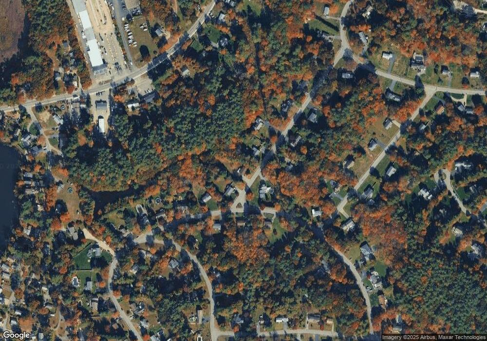
Map
Nearby Homes
- 53 Grove St
- 8 Pinehurst Ave
- 22 Pondview Ave
- 29 Liberty Dr Unit 29
- 299 Center St
- 10 Warren Terrace
- 204 Center St Unit 9
- 10 Fir Rd
- 18 Wampatuck St
- 5 Hatch Rd
- 269 Lakeside Rd
- 34 Montclair Ave
- 72 Old Cart Path Ln Unit Lot 2
- 78 Old Cart Path Ln Unit Lot 3
- 456 Maquan St
- 62 Toole Trail
- 77 Old Cart Path Ln Unit Lot 4
- 6 Evan Rd
- 290 School St
- 134 Crescent St
- 131 Queens Brook Rd
- 141 Queens Brook Rd
- 134 Queens Brook Rd
- 149 Queens Brook Rd
- 123 Queens Brook Rd
- 124 Queens Brook Rd
- 1 Pond St
- 27 Pond St
- 150 Queens Brook Rd
- 118 Queens Brook Rd
- 155 Queens Brook Rd
- 39 Maplewood Rd
- 117 Queens Brook Rd
- 6 Cranberry Ln
- 31 Maplewood Rd
- 161 Queens Brook Rd
- 116 Queens Brook Rd
- 111 Queens Brook Rd
- 19 Pond St
- 23 Maplewood Rd