Estimated Value: $653,000 - $789,000
2
Beds
1
Bath
630
Sq Ft
$1,099/Sq Ft
Est. Value
About This Home
This home is located at 135 Roberts Cove Rd, Alton, NH 03809 and is currently estimated at $692,146, approximately $1,098 per square foot. 135 Roberts Cove Rd is a home located in Belknap County with nearby schools including Alton Central School (Elem) and Prospect Mountain High School.
Ownership History
Date
Name
Owned For
Owner Type
Purchase Details
Closed on
Oct 9, 2018
Sold by
Lynn S Nemer Ret
Bought by
Dreyer Stephpanie N
Current Estimated Value
Home Financials for this Owner
Home Financials are based on the most recent Mortgage that was taken out on this home.
Original Mortgage
$284,000
Outstanding Balance
$246,324
Interest Rate
4.25%
Mortgage Type
Unknown
Estimated Equity
$445,822
Purchase Details
Closed on
Nov 26, 2013
Sold by
Nemser Lynn S
Bought by
Lynn S Nemser Ret
Create a Home Valuation Report for This Property
The Home Valuation Report is an in-depth analysis detailing your home's value as well as a comparison with similar homes in the area
Home Values in the Area
Average Home Value in this Area
Purchase History
| Date | Buyer | Sale Price | Title Company |
|---|---|---|---|
| Dreyer Stephpanie N | $355,000 | -- | |
| Lynn S Nemser Ret | -- | -- |
Source: Public Records
Mortgage History
| Date | Status | Borrower | Loan Amount |
|---|---|---|---|
| Open | Dreyer Stephpanie N | $284,000 |
Source: Public Records
Tax History Compared to Growth
Tax History
| Year | Tax Paid | Tax Assessment Tax Assessment Total Assessment is a certain percentage of the fair market value that is determined by local assessors to be the total taxable value of land and additions on the property. | Land | Improvement |
|---|---|---|---|---|
| 2024 | $6,434 | $495,700 | $452,800 | $42,900 |
| 2022 | $5,636 | $495,700 | $452,800 | $42,900 |
| 2021 | $6,199 | $544,700 | $501,800 | $42,900 |
| 2020 | $3,839 | $275,200 | $226,600 | $48,600 |
| 2019 | $3,443 | $275,200 | $226,600 | $48,600 |
| 2018 | $5,020 | $267,900 | $226,600 | $41,300 |
| 2017 | $3,445 | $267,900 | $226,600 | $41,300 |
| 2016 | $5,218 | $254,600 | $220,900 | $33,700 |
| 2015 | $3,468 | $243,000 | $209,300 | $33,700 |
| 2014 | $3,566 | $257,500 | $220,000 | $37,500 |
| 2013 | $3,290 | $244,800 | $207,300 | $37,500 |
Source: Public Records
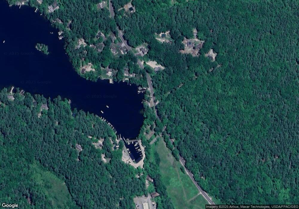
Map
Nearby Homes
- 104 Hopewell Rd
- 117 Hayes Rd
- 120 Big Barndoor Island
- Lot 13 Jaytee Dr
- 00 Old Wolfeboro Rd Unit 40
- 39 Winnipesaukee Dr
- 581 E Side Dr
- 18-8 Winnipesaukee Dr
- 00 Winnipesaukee Dr Unit 10
- 5 Delings Cove Rd
- 87 Middleton Rd
- 510 Old Wolfeboro Rd
- 87 Timberlane P
- 204 Route 11-D
- 116 Middleton Rd
- 106 Middleton Rd
- 163 Clark Rd
- 25 Georges Rd
- 51 Bear Pond Rd
- 195 Sewall Rd
- 135 Roberts Cove Road (Vacation Rental)
- 143 Roberts Cove Rd
- 0 Basin Rd Unit 4656157
- 0 Basin Rd Unit 4742183
- 152 Roberts Cove Rd
- 152 Roberts Cove Rd Unit 2
- 118 Roberts Cove Rd
- 155 Roberts Cove Rd
- 15 Loud Rd
- 156 Roberts Cove Rd
- 161 Roberts Cove Rd
- 112 Roberts Cove Rd
- 46 Basin Rd
- 16 Ledge Hill Rd
- 9 Old Camp Rd
- 21 Loud Rd
- 17 Basin Rd
- 28 Ledge Hill Rd
- 38 Ledge Hill Rd
- 4 Old Camp Rd