135 Rock Candy Lane #51 Branson, MO 65616
White River NeighborhoodEstimated Value: $293,000 - $296,000
2
Beds
2
Baths
1,338
Sq Ft
$220/Sq Ft
Est. Value
About This Home
This home is located at 135 Rock Candy Lane #51, Branson, MO 65616 and is currently estimated at $294,441, approximately $220 per square foot. 135 Rock Candy Lane #51 is a home located in Taney County with nearby schools including Cedar Ridge Primary, Cedar Ridge Intermediate School, and Cedar Ridge Elementary School.
Ownership History
Date
Name
Owned For
Owner Type
Purchase Details
Closed on
Oct 28, 2022
Sold by
Gti Llc
Bought by
Picayune Llc
Current Estimated Value
Purchase Details
Closed on
Jul 22, 2022
Sold by
Eron Phillips Robert and Yung Lily
Bought by
Gti Llc
Purchase Details
Closed on
Oct 16, 2020
Sold by
Susan V Bramsch Revocable Trust
Bought by
Phillips Robert Eron and Phillips Lily Yung
Purchase Details
Closed on
Apr 9, 2007
Sold by
Cabins At Grand Mountain Pahse Ii Llc
Bought by
Christian Families Investments Llc
Create a Home Valuation Report for This Property
The Home Valuation Report is an in-depth analysis detailing your home's value as well as a comparison with similar homes in the area
Home Values in the Area
Average Home Value in this Area
Purchase History
| Date | Buyer | Sale Price | Title Company |
|---|---|---|---|
| Picayune Llc | -- | -- | |
| Gti Llc | -- | None Listed On Document | |
| Phillips Robert Eron | -- | Waco Title Company Branson | |
| Christian Families Investments Llc | -- | -- |
Source: Public Records
Tax History Compared to Growth
Tax History
| Year | Tax Paid | Tax Assessment Tax Assessment Total Assessment is a certain percentage of the fair market value that is determined by local assessors to be the total taxable value of land and additions on the property. | Land | Improvement |
|---|---|---|---|---|
| 2025 | $2,461 | $41,410 | -- | -- |
| 2023 | $2,461 | $44,770 | $0 | $0 |
| 2022 | $1,635 | $31,131 | $0 | $0 |
| 2021 | $1,625 | $44,770 | $0 | $0 |
| 2019 | $1,561 | $28,710 | $0 | $0 |
| 2018 | $1,486 | $27,390 | $0 | $0 |
| 2017 | $1,502 | $27,920 | $0 | $0 |
| 2016 | $2,097 | $38,420 | $0 | $0 |
| 2015 | $2,077 | $38,420 | $0 | $0 |
| 2014 | $1,386 | $27,150 | $0 | $0 |
Source: Public Records
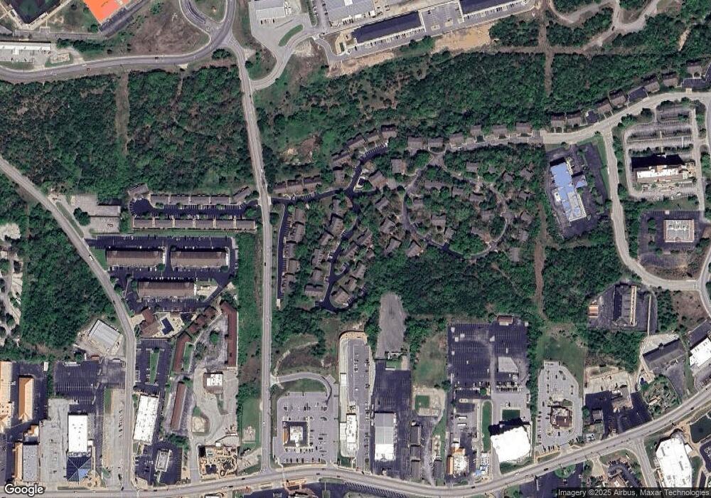
Map
Nearby Homes
- 133 Rock Candy Ln
- 135 Rock Candy Ln
- 132 Rock Candy Ln Unit 1
- 237 Oakridge Rd Unit 2
- 239 Oakridge Rd Unit 1
- 239 Oakridge Rd Unit 237/239
- 119 Grand Mountain Ave
- 328 Summer Dr
- 320 Summer Dr
- 322 Summer Dr
- 316 Summer Dr
- 228 Oakridge Rd
- 238 Oakridge Rd
- 103 Garden Cir Unit 110-4
- 103 Garden Cir Unit 110-3
- 264 Oakridge Rd
- 105 Garden Cir Unit 109-4
- 215 Oakridge Rd
- 283 Oakridge Rd
- 109 Grand Mountain Ave Unit 39-1
- 135 Rock Candy Lane #51
- 135 Rock Candy Ln Unit 51
- 135 Rock Candy Ln Unit 2
- 137 Rock Candy Ln Unit 1
- 139 Rock Candy Ln
- 139 Rock Candy Ln Unit 2
- 141 Rock Candy Ln Unit 1
- 141 Rock Candy Ln
- 143 Rock Candy Ln Unit 2
- 143 Rock Candy Ln
- 131 Rock Candy Ln
- 131 Rock Candy Ln Unit 2
- 134 Rock Candy Ln Unit 2
- 129 Rock Candy Ln
- 138 Rock Candy Ln Unit 2
- 138 Rock Candy Ln
- 132 Rock Candy Ln
- 128 Rock Candy Ln Unit 1
- 239 Oakridge Dr Unit 1
- 237 Oakridge Rd Unit 1 & 2