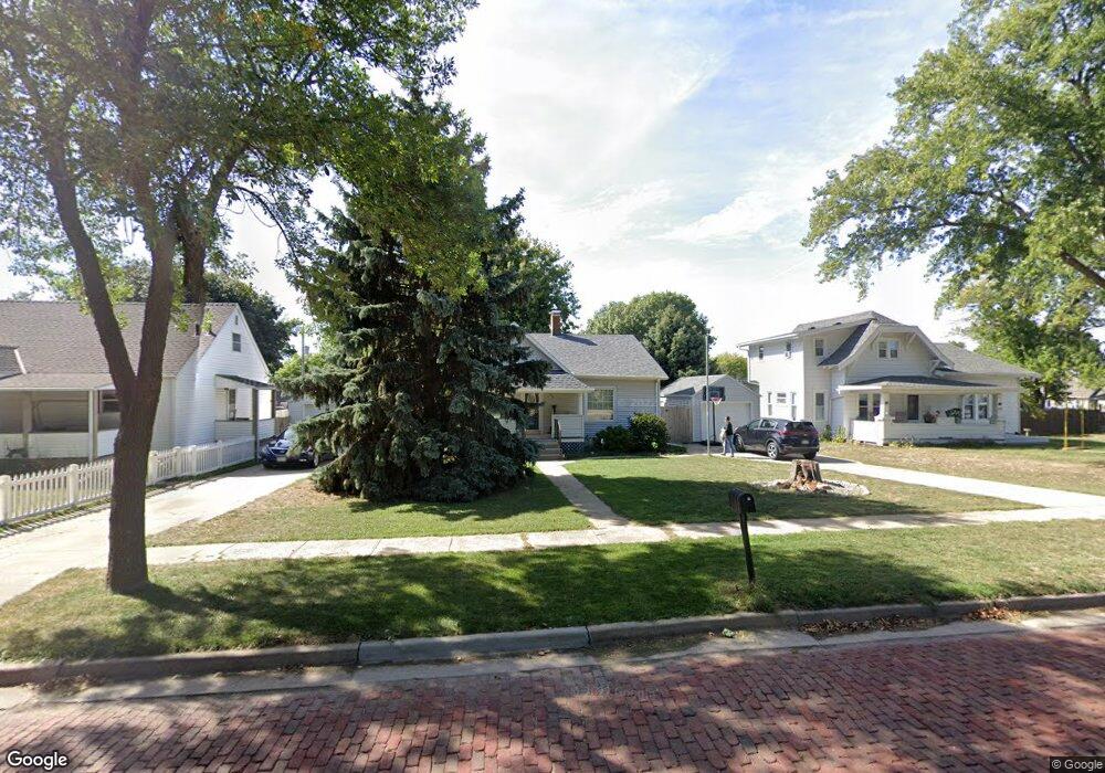
135 S Scott St Gretna, NE 68028
Estimated Value: $214,000 - $265,000
2
Beds
3
Baths
943
Sq Ft
$254/Sq Ft
Est. Value
About This Home
This home is located at 135 S Scott St, Gretna, NE 68028 and is currently estimated at $239,951, approximately $254 per square foot. 135 S Scott St is a home located in Sarpy County with nearby schools including Gretna Elementary School, Gretna Middle School, and Gretna High School.
Ownership History
Date
Name
Owned For
Owner Type
Purchase Details
Closed on
Nov 24, 2020
Sold by
Jamber Todd A and Jamber Emily R
Bought by
Jamber Todd A and Jamber Kimberly A
Current Estimated Value
Purchase Details
Closed on
Jul 25, 2014
Sold by
Hardies Rolland J and Hardies Jacquelyn L
Bought by
Jamber Todd A
Home Financials for this Owner
Home Financials are based on the most recent Mortgage that was taken out on this home.
Original Mortgage
$116,550
Interest Rate
4.2%
Mortgage Type
New Conventional
Purchase Details
Closed on
Mar 27, 2006
Sold by
Kumm Matthew P
Bought by
Katt Jacquelyn L and Hardies Rolland J
Home Financials for this Owner
Home Financials are based on the most recent Mortgage that was taken out on this home.
Original Mortgage
$100,800
Interest Rate
6.25%
Mortgage Type
New Conventional
Create a Home Valuation Report for This Property
The Home Valuation Report is an in-depth analysis detailing your home's value as well as a comparison with similar homes in the area
Home Values in the Area
Average Home Value in this Area
Purchase History
| Date | Buyer | Sale Price | Title Company |
|---|---|---|---|
| Jamber Todd A | $184,000 | Midwest Title | |
| Jamber Todd A | $130,000 | Midwest Title Inc | |
| Katt Jacquelyn L | $126,000 | Dakota Title & Escrow Co |
Source: Public Records
Mortgage History
| Date | Status | Borrower | Loan Amount |
|---|---|---|---|
| Previous Owner | Jamber Todd A | $116,550 | |
| Previous Owner | Katt Jacquelyn L | $100,800 |
Source: Public Records
Tax History Compared to Growth
Tax History
| Year | Tax Paid | Tax Assessment Tax Assessment Total Assessment is a certain percentage of the fair market value that is determined by local assessors to be the total taxable value of land and additions on the property. | Land | Improvement |
|---|---|---|---|---|
| 2025 | $4,138 | $239,127 | $45,000 | $194,127 |
| 2024 | $4,338 | $229,989 | $45,000 | $184,989 |
| 2023 | $4,338 | $201,810 | $45,000 | $156,810 |
| 2022 | $4,282 | $187,643 | $45,000 | $142,643 |
| 2021 | $3,546 | $157,148 | $45,000 | $112,148 |
| 2020 | $3,327 | $148,310 | $30,000 | $118,310 |
| 2019 | $3,183 | $142,075 | $30,000 | $112,075 |
| 2018 | $2,878 | $129,034 | $19,000 | $110,034 |
| 2017 | $2,761 | $123,613 | $19,000 | $104,613 |
| 2016 | $2,600 | $116,735 | $19,000 | $97,735 |
| 2015 | $2,515 | $113,867 | $19,000 | $94,867 |
| 2014 | $2,410 | $110,032 | $19,000 | $91,032 |
| 2012 | -- | $106,420 | $19,000 | $87,420 |
Source: Public Records
Map
Nearby Homes
- 326 Connor St
- 21605 Hackberry Dr
- 21733 Parkview Dr
- 21710 Parkview Dr
- 21603 Parkview Dr
- 21714 Parkview Dr
- 21709 Parkview Dr
- 21607 Parkview Dr
- 21737 Parkview Dr
- 21706 Parkview Dr
- 21900 W Angus Rd
- 11237 S 217th St
- 21906 Amber Dr
- 21702 Amber Dr
- 21726 Amber Dr
- Lot 95 Gruenther Ridge
- 11303 S 210th Ave
- 347 Michael Dr
- 21722 Parkview Dr
- 21719 Amber Dr