135 Sunset Point Ln S Waverly, TN 37185
Estimated Value: $346,000 - $682,000
--
Bed
2
Baths
1,675
Sq Ft
$314/Sq Ft
Est. Value
About This Home
This home is located at 135 Sunset Point Ln S, Waverly, TN 37185 and is currently estimated at $526,516, approximately $314 per square foot. 135 Sunset Point Ln S is a home located in Houston County.
Ownership History
Date
Name
Owned For
Owner Type
Purchase Details
Closed on
Jan 31, 2007
Bought by
Swystun Nancy E
Current Estimated Value
Purchase Details
Closed on
Mar 16, 1993
Bought by
Berger Kurt V Nancy
Purchase Details
Closed on
Jan 5, 1989
Bought by
Lewis Don C and Lewis Susan
Purchase Details
Closed on
Aug 6, 1981
Bought by
Harrell Mary S
Purchase Details
Closed on
Jan 1, 1981
Purchase Details
Closed on
Jan 1, 1976
Create a Home Valuation Report for This Property
The Home Valuation Report is an in-depth analysis detailing your home's value as well as a comparison with similar homes in the area
Home Values in the Area
Average Home Value in this Area
Purchase History
| Date | Buyer | Sale Price | Title Company |
|---|---|---|---|
| Swystun Nancy E | -- | -- | |
| Berger Kurt V Nancy | $60,000 | -- | |
| Lewis Don C | $60,000 | -- | |
| Harrell Mary S | -- | -- | |
| -- | $48,500 | -- | |
| -- | $25,000 | -- |
Source: Public Records
Tax History Compared to Growth
Tax History
| Year | Tax Paid | Tax Assessment Tax Assessment Total Assessment is a certain percentage of the fair market value that is determined by local assessors to be the total taxable value of land and additions on the property. | Land | Improvement |
|---|---|---|---|---|
| 2024 | $1,586 | $89,100 | $24,100 | $65,000 |
| 2023 | $1,586 | $89,100 | $24,100 | $65,000 |
| 2022 | $1,496 | $53,450 | $16,500 | $36,950 |
| 2021 | $1,496 | $53,450 | $16,500 | $36,950 |
| 2020 | $1,541 | $53,450 | $16,500 | $36,950 |
| 2019 | $1,541 | $48,300 | $15,000 | $33,300 |
| 2018 | $1,541 | $48,300 | $15,000 | $33,300 |
| 2017 | $1,541 | $48,300 | $15,000 | $33,300 |
| 2016 | $1,541 | $48,300 | $15,000 | $33,300 |
| 2015 | $1,541 | $48,300 | $15,000 | $33,300 |
| 2014 | -- | $48,297 | $0 | $0 |
Source: Public Records
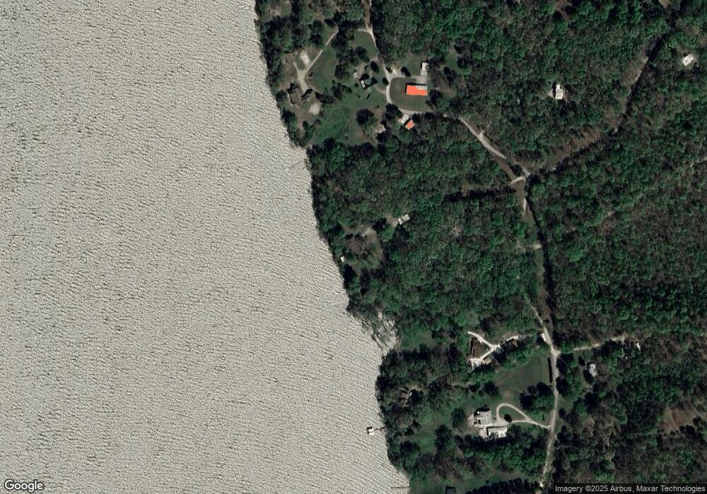
Map
Nearby Homes
- 0 Mcnair Dr Unit RTC2963603
- 63 Charlsie Ln
- 24 Charlsie Ln
- 0 Beechwood Cir Unit RTC2667184
- 0 Beechtree Cir
- 360 Blacks Bluff Ln
- 0 Overlook Trail Lots 68 & 69 Unit 133842
- 0 N River Cove Unit 2504777
- 0 Pointe of View Ln S
- 575 Pointe of View Ln Lots 426&428
- 0 Lake Trail Unit RTC2447746
- 0 Forest Crossing Unit RTC2974498
- 1035 Forrest Crossing
- 0 Sunset Ridge Unit RTC3000942
- 0 Sunset Ridge Unit RTC2974508
- 0 Sunset Ridge Unit RTC2890860
- 0 Sunset Ridge Unit 134192
- 0 Sunset Ridge Unit 16796965
- 100 Sunset Ridge
- 56 Ridge Top Rd
- 53 Frost Ln
- 55 Sunset Point Ln S
- 0 Sunset Point Rd
- 0 Sunset Point Ln S Unit RTC2127165
- 0 Sunset Point Ln S Unit 127463
- 0 Sunset Point Ln S Unit RTC2388785
- 9315 Greenbriar Rd
- 9330 Greenbriar Rd
- 9345 Greenbriar Rd
- 9041 Greenbriar Rd
- 9035 Greenbriar Rd
- 9365 Greenbriar Rd
- 9230 Greenbriar Rd
- 8963 Greenbriar Rd
- 9250 Greenbriar Rd
- 9026 Greenbriar Rd
- 9028 Greenbriar Rd
- 9460 Greenbriar Rd
- 8956 Greenbriar Rd
- 9024 Greenbriar Rd