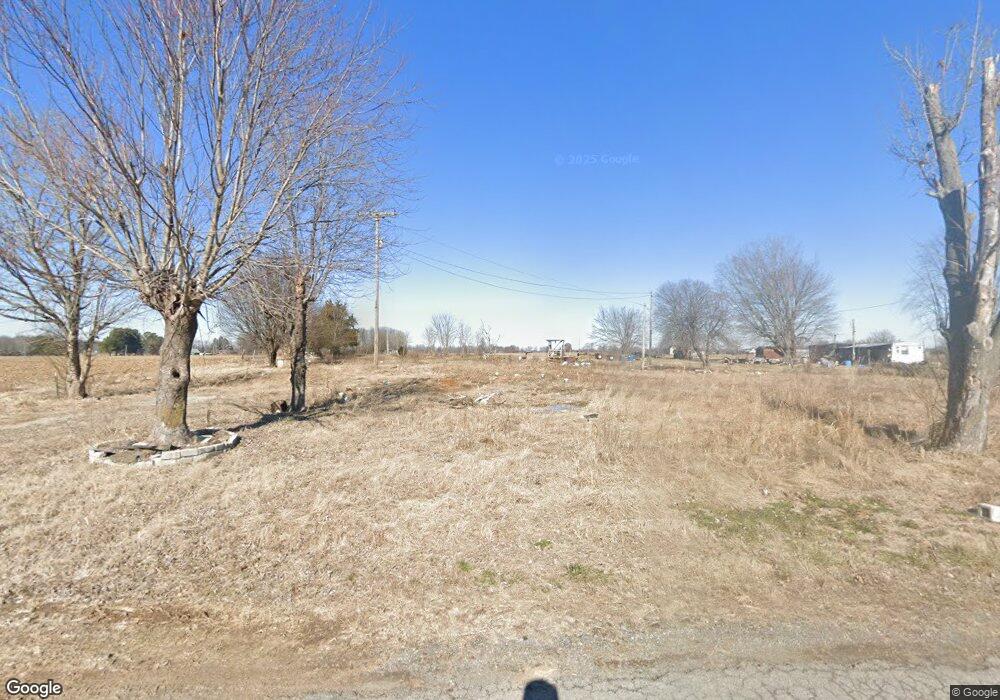
135 Tommy Wix Rd Lafayette, TN 37083
Estimated Value: $44,543 - $191,000
--
Bed
1
Bath
650
Sq Ft
$193/Sq Ft
Est. Value
About This Home
This home is located at 135 Tommy Wix Rd, Lafayette, TN 37083 and is currently estimated at $125,136, approximately $192 per square foot. 135 Tommy Wix Rd is a home located in Macon County with nearby schools including Highland Church Mennonite.
Ownership History
Date
Name
Owned For
Owner Type
Purchase Details
Closed on
Apr 4, 2024
Sold by
Carter William
Bought by
Manion Henry and Manion Nancy
Current Estimated Value
Purchase Details
Closed on
Aug 19, 2008
Bought by
Carter William
Purchase Details
Closed on
Aug 12, 2005
Sold by
Holland Judy C
Bought by
Macon Land Co Llc
Purchase Details
Closed on
Nov 16, 2000
Sold by
Driver Ralph
Bought by
Driver Gwindlene
Purchase Details
Closed on
Mar 6, 1996
Sold by
White Troy Charles and White Sherm
Bought by
Driver Ralph and Driver Gwindlene
Purchase Details
Closed on
Sep 6, 1989
Bought by
Troy Charles and Troy White Shermie Char
Create a Home Valuation Report for This Property
The Home Valuation Report is an in-depth analysis detailing your home's value as well as a comparison with similar homes in the area
Home Values in the Area
Average Home Value in this Area
Purchase History
| Date | Buyer | Sale Price | Title Company |
|---|---|---|---|
| Manion Henry | $20,000 | Benchmark Title Company | |
| Manion Henry | $20,000 | Benchmark Title Company | |
| Carter William | $198,100 | -- | |
| Macon Land Co Llc | $15,000 | -- | |
| Driver Gwindlene | -- | -- | |
| Driver Ralph | $17,000 | -- | |
| Troy Charles | -- | -- |
Source: Public Records
Tax History Compared to Growth
Tax History
| Year | Tax Paid | Tax Assessment Tax Assessment Total Assessment is a certain percentage of the fair market value that is determined by local assessors to be the total taxable value of land and additions on the property. | Land | Improvement |
|---|---|---|---|---|
| 2024 | $137 | $9,700 | $3,000 | $6,700 |
| 2023 | $137 | $9,700 | $0 | $0 |
| 2022 | $123 | $5,125 | $1,775 | $3,350 |
| 2021 | $123 | $5,125 | $1,775 | $3,350 |
| 2020 | $123 | $5,125 | $1,775 | $3,350 |
| 2019 | $123 | $5,125 | $1,775 | $3,350 |
| 2018 | $113 | $5,125 | $1,775 | $3,350 |
| 2017 | $105 | $4,150 | $1,650 | $2,500 |
| 2016 | $100 | $4,150 | $1,650 | $2,500 |
| 2015 | $100 | $4,150 | $1,650 | $2,500 |
| 2014 | $100 | $4,150 | $0 | $0 |
Source: Public Records
Map
Nearby Homes
- 7559 Scottsville Rd
- 760 Hanestown Rd
- 1030 Hanestown Rd
- 23 Bandy Rd
- 0 Hanestown Rd
- 10 Hanestown Rd
- 2533 Hanestown Rd
- 754 Sparrow Rd
- 1243 Cave Hill Rd
- 923 White Springs Rd
- 5110 White Springs Ln
- 5128 White Springs Ln
- 0 Pryor Ln Unit RTC2943657
- 5252 White Springs Ln
- 0 White Springs Ln
- 0 Oakmere Ln Unit RTC2979191
- 0 Oakmere Ln Unit RTC2946178
- 0 Oakmere Ln Unit RTC2931974
- 0 Oakmere Ln Unit RTC2931977
- 314 Oakmere Ln
- 8231 Scottsville Rd
- 8259 Scottsville Rd
- 137 Crowder Rd
- 300 Tommy Wix Rd
- 389 Haysville Cir
- 27 Crowder Rd
- 520 Clay Law Ln
- 257 Haysville Cir
- 163 Clay Ln
- 153 Hanestown Rd
- 192 Haysville Cir
- 158 Hirestown Rd
- 8678 Scottsville Rd
- 604 Tommy Wix Rd
- 604 Tommy Wix Rd
- 8745 Scottsville Rd
- 7761 Scottsville Rd
- 119 Haysville Cir
- 119 Haysville Cir
- 71 Haysville Cir
