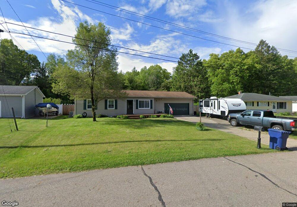
135 Viking Ct Battle Creek, MI 49017
Estimated Value: $173,000 - $198,000
4
Beds
2
Baths
900
Sq Ft
$205/Sq Ft
Est. Value
About This Home
This home is located at 135 Viking Ct, Battle Creek, MI 49017 and is currently estimated at $184,183, approximately $204 per square foot. 135 Viking Ct is a home located in Calhoun County with nearby schools including Pennfield Purdy School, Pennfield Dunlap Elementary School, and Pennfield Middle School.
Ownership History
Date
Name
Owned For
Owner Type
Purchase Details
Closed on
Jul 5, 2007
Sold by
Baum Peter J and Baum Carrie L
Bought by
Finch Christine L
Current Estimated Value
Home Financials for this Owner
Home Financials are based on the most recent Mortgage that was taken out on this home.
Original Mortgage
$101,500
Outstanding Balance
$64,068
Interest Rate
6.69%
Mortgage Type
Purchase Money Mortgage
Estimated Equity
$120,115
Purchase Details
Closed on
Nov 7, 2006
Sold by
Baum Peter J and Baum Carrie L
Bought by
Baum Peter J and Baum Carrie L
Purchase Details
Closed on
Jun 5, 1996
Sold by
Harris Leonard
Bought by
Baum Peter and Baum Carrie
Create a Home Valuation Report for This Property
The Home Valuation Report is an in-depth analysis detailing your home's value as well as a comparison with similar homes in the area
Home Values in the Area
Average Home Value in this Area
Purchase History
| Date | Buyer | Sale Price | Title Company |
|---|---|---|---|
| Finch Christine L | $101,500 | Chicago Title Of Michigan | |
| Baum Peter J | -- | Mt | |
| Baum Peter | $73,000 | -- |
Source: Public Records
Mortgage History
| Date | Status | Borrower | Loan Amount |
|---|---|---|---|
| Open | Finch Christine L | $101,500 |
Source: Public Records
Tax History Compared to Growth
Tax History
| Year | Tax Paid | Tax Assessment Tax Assessment Total Assessment is a certain percentage of the fair market value that is determined by local assessors to be the total taxable value of land and additions on the property. | Land | Improvement |
|---|---|---|---|---|
| 2025 | $1,546 | $83,300 | $0 | $0 |
| 2024 | $689 | $73,100 | $0 | $0 |
| 2023 | $1,336 | $63,590 | $0 | $0 |
| 2022 | $625 | $53,220 | $0 | $0 |
| 2021 | $1,341 | $50,900 | $0 | $0 |
| 2020 | $1,317 | $50,380 | $0 | $0 |
| 2019 | $1,802 | $45,800 | $0 | $0 |
| 2018 | $1,671 | $45,160 | $7,210 | $37,950 |
| 2017 | $0 | $45,950 | $0 | $0 |
| 2016 | $0 | $31,960 | $0 | $0 |
| 2015 | -- | $29,820 | $3,275 | $26,545 |
| 2014 | -- | $27,830 | $3,275 | $24,555 |
Source: Public Records
Map
Nearby Homes
- V/L Parkview Ave
- 202 Viking Dr
- 6329 Purdy Dr
- 208 Glendale Ave
- 6722 Morgan Rd E
- 11 Coolidge Ave W
- 115 Briars Farm Ln
- 17 Gordon Blvd
- 561 Garrison Rd
- 62 Coolidge Ave W
- 69 Coolidge Ave W
- 110 Harriet Ln
- 125 Sunset Blvd W
- 52 Thorncroft Ave
- 19687 East Ave N
- 341 Algonquin St
- 104 Calico Ln
- 161 Wilds Ave
- 904 Washington Ave N
- 117 Old Lantern Trail