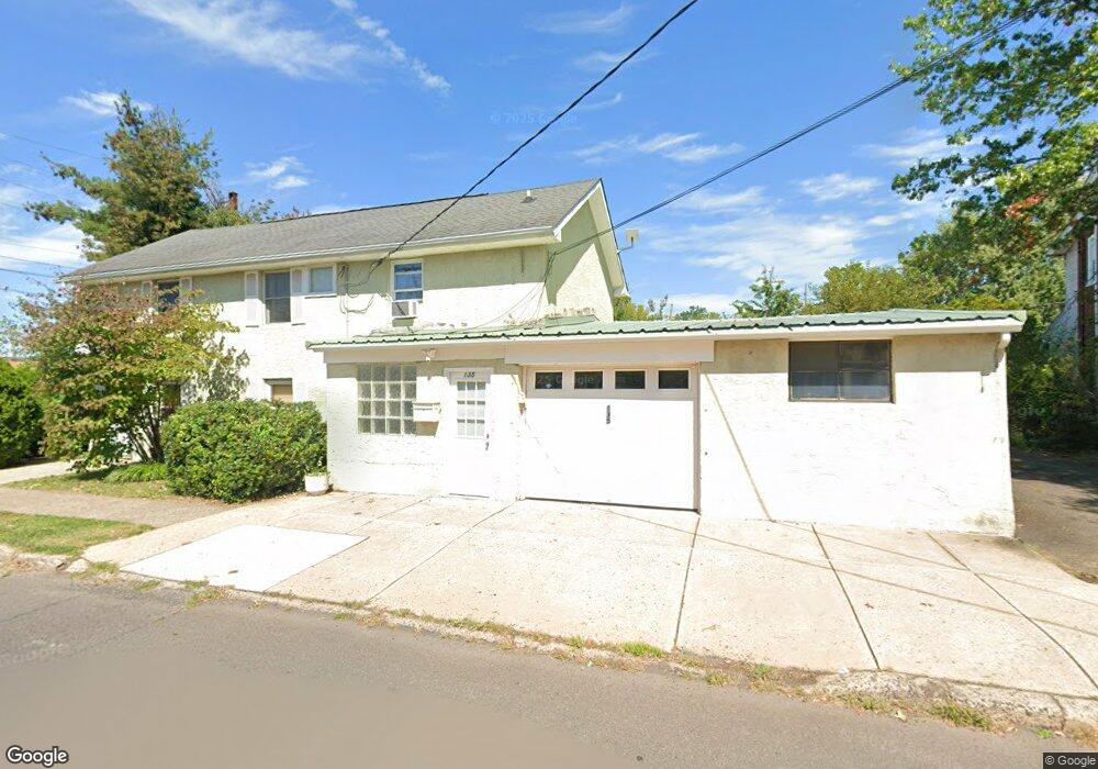
135 W 5th St Lansdale, PA 19446
Estimated Value: $353,000 - $614,000
3
Beds
4
Baths
2,196
Sq Ft
$229/Sq Ft
Est. Value
About This Home
This home is located at 135 W 5th St, Lansdale, PA 19446 and is currently estimated at $502,446, approximately $228 per square foot. 135 W 5th St is a home located in Montgomery County with nearby schools including Knapp Elementary School, Penndale Middle School, and North Penn Senior High School.
Ownership History
Date
Name
Owned For
Owner Type
Purchase Details
Closed on
Jun 6, 2025
Sold by
Galbraith Rich B and Galbralth Richard B
Bought by
Shortcake 0519 Trust and Galbraith
Current Estimated Value
Purchase Details
Closed on
Mar 27, 2006
Sold by
Mcgalliard Michael O and Mcgalliard Kathleen G
Bought by
Galbralth Richard B
Home Financials for this Owner
Home Financials are based on the most recent Mortgage that was taken out on this home.
Original Mortgage
$150,000
Interest Rate
6.26%
Purchase Details
Closed on
Dec 12, 2003
Sold by
Visco Realty Corp
Bought by
Mcgalliard Michael O and Mcgalliard Kathleen G
Create a Home Valuation Report for This Property
The Home Valuation Report is an in-depth analysis detailing your home's value as well as a comparison with similar homes in the area
Home Values in the Area
Average Home Value in this Area
Purchase History
| Date | Buyer | Sale Price | Title Company |
|---|---|---|---|
| Shortcake 0519 Trust | -- | None Listed On Document | |
| Galbralth Richard B | $310,000 | None Available | |
| Mcgalliard Michael O | $120,000 | -- |
Source: Public Records
Mortgage History
| Date | Status | Borrower | Loan Amount |
|---|---|---|---|
| Previous Owner | Galbralth Richard B | $150,000 |
Source: Public Records
Tax History Compared to Growth
Tax History
| Year | Tax Paid | Tax Assessment Tax Assessment Total Assessment is a certain percentage of the fair market value that is determined by local assessors to be the total taxable value of land and additions on the property. | Land | Improvement |
|---|---|---|---|---|
| 2025 | $5,963 | $141,740 | -- | -- |
| 2024 | $5,963 | $141,740 | -- | -- |
| 2023 | $5,578 | $141,740 | $0 | $0 |
| 2022 | $5,400 | $141,740 | $0 | $0 |
| 2021 | $5,180 | $141,740 | $0 | $0 |
| 2020 | $5,024 | $141,740 | $0 | $0 |
| 2019 | $4,941 | $141,740 | $0 | $0 |
| 2018 | $1,325 | $141,740 | $0 | $0 |
| 2017 | $4,612 | $141,740 | $0 | $0 |
| 2016 | $4,557 | $141,740 | $0 | $0 |
| 2015 | $4,229 | $141,740 | $0 | $0 |
| 2014 | $4,229 | $141,740 | $0 | $0 |
Source: Public Records
Map
Nearby Homes
- 129 W Fifth St
- 302 W 8th St Unit 21
- 39 E 5th St
- 816 Kenilworth Ave
- 529 N Chestnut St
- 405 Derstine Ave
- 124 E 5th St
- 130 E 5th St
- 200 E 5th St
- 135 Third
- 833 W 4th St
- 128 S Broad St
- 235 E 2nd St
- 2 N Line St
- 831 W Main St
- 100 Penn St
- 159 Penn St
- 204 N Valley Forge Rd Unit 7B
- 21 S Valley Forge Rd Unit 213
- 1028 Poplar St Unit 75