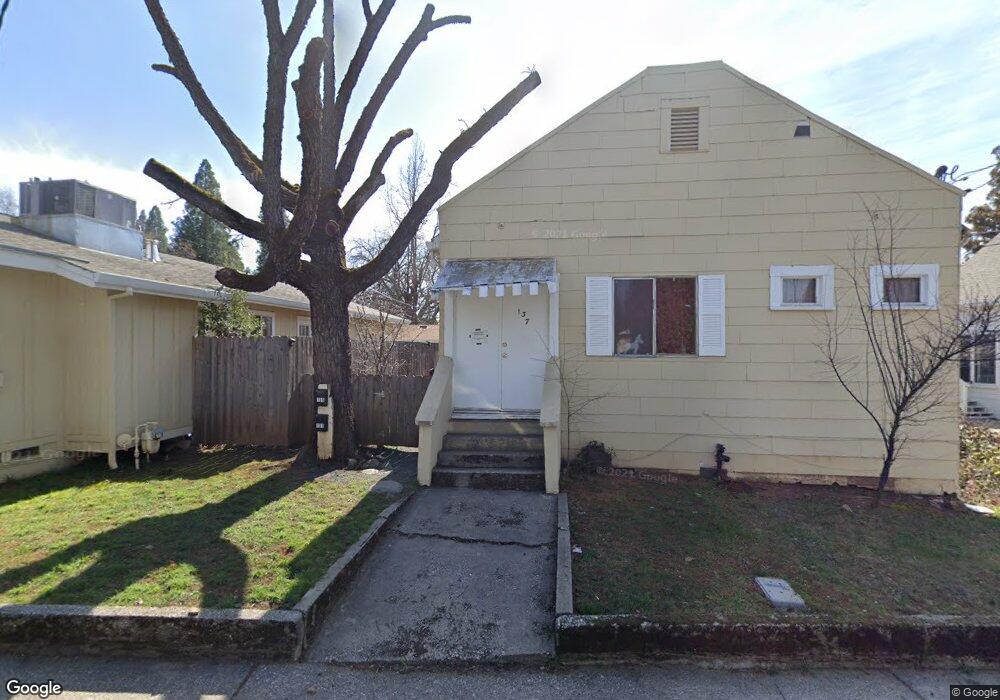
135 W Empire St Unit 137 Grass Valley, CA 95945
Estimated Value: $346,000 - $463,000
2
Beds
2
Baths
1,104
Sq Ft
$377/Sq Ft
Est. Value
About This Home
This home is located at 135 W Empire St Unit 137, Grass Valley, CA 95945 and is currently estimated at $416,000, approximately $376 per square foot. 135 W Empire St Unit 137 is a home located in Nevada County with nearby schools including Bell Hill Academy, Margaret G. Scotten Elementary School, and Lyman Gilmore Middle School.
Ownership History
Date
Name
Owned For
Owner Type
Purchase Details
Closed on
May 7, 2024
Sold by
Kim C Shaffer Revocable Trust and Shaffer Kim C
Bought by
Crosby Richard and Crosby Kimberly
Current Estimated Value
Home Financials for this Owner
Home Financials are based on the most recent Mortgage that was taken out on this home.
Original Mortgage
$336,750
Outstanding Balance
$331,974
Interest Rate
6.82%
Mortgage Type
Credit Line Revolving
Estimated Equity
$84,026
Purchase Details
Closed on
Jun 26, 2002
Sold by
Shaffer Kim C
Bought by
Shaffer Kim C and Kim C Shaffer Revocable Trust
Create a Home Valuation Report for This Property
The Home Valuation Report is an in-depth analysis detailing your home's value as well as a comparison with similar homes in the area
Home Values in the Area
Average Home Value in this Area
Purchase History
| Date | Buyer | Sale Price | Title Company |
|---|---|---|---|
| Crosby Richard | $449,000 | First American Title | |
| Shaffer Kim C | -- | -- |
Source: Public Records
Mortgage History
| Date | Status | Borrower | Loan Amount |
|---|---|---|---|
| Open | Crosby Richard | $336,750 |
Source: Public Records
Tax History Compared to Growth
Tax History
| Year | Tax Paid | Tax Assessment Tax Assessment Total Assessment is a certain percentage of the fair market value that is determined by local assessors to be the total taxable value of land and additions on the property. | Land | Improvement |
|---|---|---|---|---|
| 2025 | $1,219 | $457,980 | $102,000 | $355,980 |
| 2024 | $1,191 | $99,872 | $33,281 | $66,591 |
| 2023 | $1,191 | $97,915 | $32,629 | $65,286 |
| 2022 | $1,181 | $95,996 | $31,990 | $64,006 |
| 2021 | $1,120 | $94,114 | $31,363 | $62,751 |
| 2020 | $1,119 | $93,150 | $31,042 | $62,108 |
| 2019 | $1,076 | $91,325 | $30,434 | $60,891 |
| 2018 | $0 | $89,536 | $29,838 | $59,698 |
| 2017 | $1,032 | $87,781 | $29,253 | $58,528 |
| 2016 | $997 | $86,061 | $28,680 | $57,381 |
| 2015 | $985 | $84,770 | $28,250 | $56,520 |
| 2014 | $971 | $83,110 | $27,697 | $55,413 |
Source: Public Records
Map
Nearby Homes
- 626 S Auburn St
- 639 Whiting St Unit 21
- 502 Granite Hill Ct
- 410-362 Marshall St
- 135 Mainhart Dr
- 430 S Auburn St
- 575 Kate Hayes St
- 348 Marshall St
- 127 E Empire St
- 435 Mill St
- 403 Mill St
- 322 Empire Ct
- 12566 Allison Ranch Rd
- 517 Mill St
- 320 Rhode Island St
- 358 Mill St
- 245 Cornwall Ave
- 351 Rhode Island St
- 340 S Church St
- 124 Cornish Ct