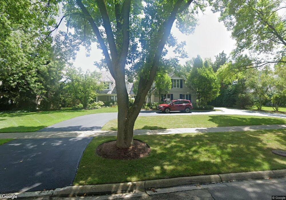
135 W Honeysuckle Rd Lake Forest, IL 60045
Estimated Value: $1,346,631 - $1,514,000
4
Beds
4
Baths
4,026
Sq Ft
$351/Sq Ft
Est. Value
About This Home
This home is located at 135 W Honeysuckle Rd, Lake Forest, IL 60045 and is currently estimated at $1,413,658, approximately $351 per square foot. 135 W Honeysuckle Rd is a home located in Lake County with nearby schools including Cherokee Elementary School, Deer Path Middle School East, and Lake Forest High School.
Ownership History
Date
Name
Owned For
Owner Type
Purchase Details
Closed on
May 1, 2020
Sold by
Bourne Malcolm G
Bought by
Bourne Malcolm G and Bourne Caitlin Brannigan
Current Estimated Value
Home Financials for this Owner
Home Financials are based on the most recent Mortgage that was taken out on this home.
Original Mortgage
$664,000
Interest Rate
3.87%
Mortgage Type
New Conventional
Purchase Details
Closed on
Apr 16, 2007
Sold by
Zarian Lawrence and Zarian Beth
Bought by
Bourne Malcolm G and Bourne Melinda F
Home Financials for this Owner
Home Financials are based on the most recent Mortgage that was taken out on this home.
Original Mortgage
$650,000
Interest Rate
7%
Mortgage Type
Purchase Money Mortgage
Purchase Details
Closed on
Jun 24, 2005
Sold by
Prudential Residential Service Lp
Bought by
Zarian Lawrence and Zarian Beth
Home Financials for this Owner
Home Financials are based on the most recent Mortgage that was taken out on this home.
Original Mortgage
$518,750
Interest Rate
5.25%
Mortgage Type
New Conventional
Purchase Details
Closed on
Feb 28, 2005
Sold by
Marshall Peter C and Marshall Elaine Madeleine
Bought by
Prudential Residential Service Lp and Prudential Homes Corp
Home Financials for this Owner
Home Financials are based on the most recent Mortgage that was taken out on this home.
Original Mortgage
$415,000
Interest Rate
5.68%
Mortgage Type
Credit Line Revolving
Purchase Details
Closed on
Jul 7, 2001
Sold by
Stimpson Alexander F and Stimpson Danah F
Bought by
Marshall Peter C and Marshall Elaine Madeleine
Home Financials for this Owner
Home Financials are based on the most recent Mortgage that was taken out on this home.
Original Mortgage
$200,000
Interest Rate
7.14%
Mortgage Type
Balloon
Purchase Details
Closed on
Jan 5, 2001
Sold by
Ulmer Frederick W and Ulmer Tracy M
Bought by
Stimpson Alexander F and Stimpson Danah F
Home Financials for this Owner
Home Financials are based on the most recent Mortgage that was taken out on this home.
Original Mortgage
$420,000
Interest Rate
7.5%
Purchase Details
Closed on
Mar 31, 1998
Sold by
Brown Gregory B and Brennan Brown Donna
Bought by
Ulmer Frederick W and Ulmer Tracy M
Home Financials for this Owner
Home Financials are based on the most recent Mortgage that was taken out on this home.
Original Mortgage
$544,000
Interest Rate
6.5%
Purchase Details
Closed on
Dec 31, 1993
Sold by
Stanton John S and Stanton Kay A
Bought by
Brown Gregory B and Brennan Brown Donna
Home Financials for this Owner
Home Financials are based on the most recent Mortgage that was taken out on this home.
Original Mortgage
$468,000
Interest Rate
7.35%
Create a Home Valuation Report for This Property
The Home Valuation Report is an in-depth analysis detailing your home's value as well as a comparison with similar homes in the area
Home Values in the Area
Average Home Value in this Area
Purchase History
| Date | Buyer | Sale Price | Title Company |
|---|---|---|---|
| Bourne Malcolm G | $950,000 | None Available | |
| Bourne Malcolm G | $987,000 | None Available | |
| Zarian Lawrence | $1,037,500 | Ticor | |
| Prudential Residential Service Lp | $1,037,500 | Ticor | |
| Marshall Peter C | $840,000 | Commonwealth Land Title Ins | |
| Stimpson Alexander F | $815,000 | -- | |
| Ulmer Frederick W | $680,000 | Chicago Title Insurance Co | |
| Brown Gregory B | $390,000 | -- |
Source: Public Records
Mortgage History
| Date | Status | Borrower | Loan Amount |
|---|---|---|---|
| Previous Owner | Bourne Malcolm G | $664,000 | |
| Previous Owner | Bourne Malcolm G | $650,000 | |
| Previous Owner | Zarian Lawrence | $518,750 | |
| Previous Owner | Prudential Residential Service Lp | $415,000 | |
| Previous Owner | Marshall Peter C | $200,000 | |
| Previous Owner | Stimpson Alexander F | $420,000 | |
| Previous Owner | Ulmer Frederick W | $544,000 | |
| Previous Owner | Brown Gregory B | $468,000 | |
| Closed | Ulmer Frederick W | $68,000 |
Source: Public Records
Tax History Compared to Growth
Tax History
| Year | Tax Paid | Tax Assessment Tax Assessment Total Assessment is a certain percentage of the fair market value that is determined by local assessors to be the total taxable value of land and additions on the property. | Land | Improvement |
|---|---|---|---|---|
| 2024 | $19,300 | $355,835 | $109,351 | $246,484 |
| 2023 | $16,848 | $316,196 | $97,169 | $219,027 |
| 2022 | $16,848 | $286,327 | $104,697 | $181,630 |
| 2021 | $15,973 | $276,058 | $100,942 | $175,116 |
| 2020 | $15,512 | $276,639 | $101,154 | $175,485 |
| 2019 | $19,412 | $355,948 | $100,982 | $254,966 |
| 2018 | $16,497 | $327,396 | $107,032 | $220,364 |
| 2017 | $16,034 | $326,352 | $106,691 | $219,661 |
| 2016 | $15,542 | $314,012 | $102,657 | $211,355 |
| 2015 | $15,302 | $295,041 | $96,455 | $198,586 |
| 2014 | $16,554 | $321,689 | $97,144 | $224,545 |
| 2012 | $15,988 | $308,417 | $96,288 | $212,129 |
Source: Public Records
Map
Nearby Homes
- 390 S Basswood Rd
- 510 Buena Rd
- 51 Heron Rd
- 27 W Onwentsia Rd
- 51 Sequoia Ct
- 560 Jacqulyn Ln
- 210 Majestic Oak Ct
- 262 E Foster Place
- 261 E Onwentsia Rd
- 50 S Orchard Cir
- 355 Hickory Ct
- 740 W Tamarack Trail
- 725 W Tamarack Trail
- 765 W Tamarack Trail
- 755 W Tamarack Trail
- 81 W North Ave
- 930 S Ridge Rd
- 710 Buena Rd
- Lot 5 Whitehall Ln
- Lot 7 Whitehall Ln
- 125 W Honeysuckle Rd
- 155 W Honeysuckle Rd
- 326 S Basswood Rd
- 140 W Blackthorn Ln
- 150 W Blackthorn Ln
- 140 W Honeysuckle Rd
- 150 W Honeysuckle Rd
- 130 W Honeysuckle Rd
- 130 W Blackthorn Ln
- 160 W Honeysuckle Rd
- 105 W Honeysuckle Rd
- 120 W Honeysuckle Rd
- 327 S Basswood Rd
- 321 S Basswood Rd
- 329 S Basswood Rd
- 315 S Basswood Rd
- 120 W Blackthorn Ln
- 135 W Blackthorn Ln
- 300 S Basswood Rd
- 110 W Honeysuckle Rd